Yosemite Trip With Jim's Sister And Her Husband
Jim's sister Mary Ann and her husband Bill came out for a visit and we drove down highway 49 to Yosemite and then back up highway 395.
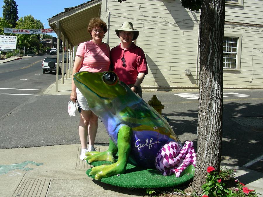
Frog Country |
Mary Ann and Bill pose with a frog in Angles Camp. The frog is the one in front. |
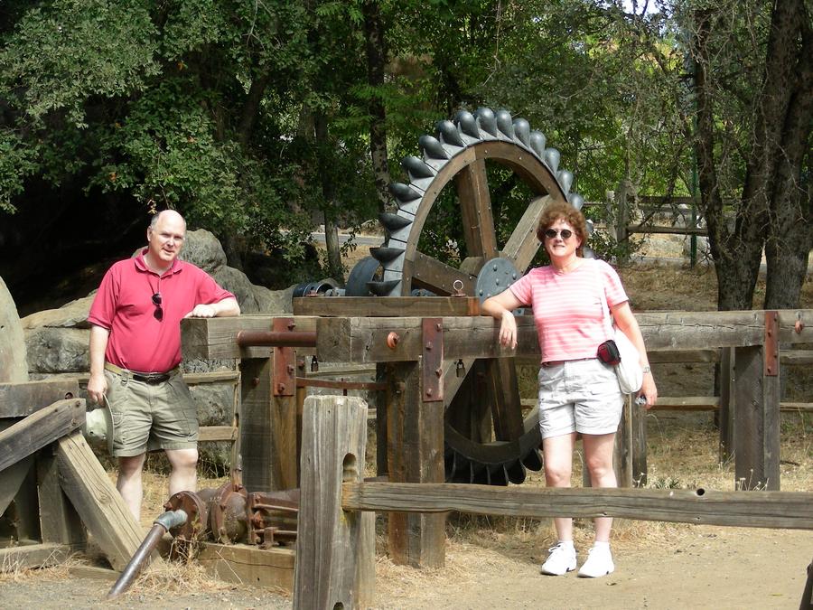
Columbia |
Columbia is a historic park just north of Sonora. Mary Ann and Bill are in front of a pelton wheel. |
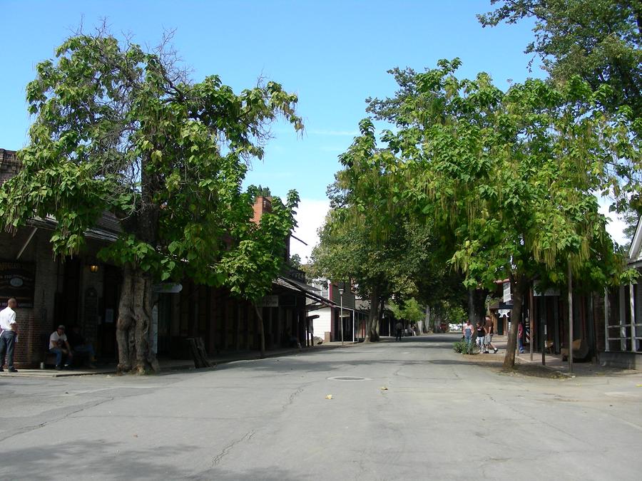
Main Street |
This is the main street in Columbia. |
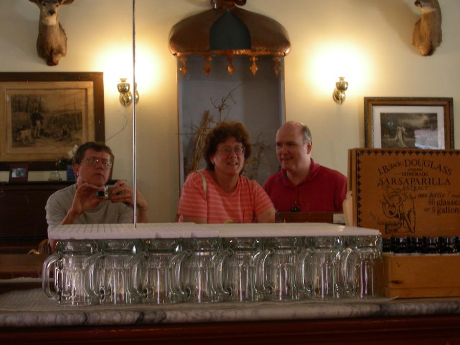
Self Portrait |
This is a picture of Jim taking a picture. We are sitting in front of a mirror in a Columbia Saloon. |
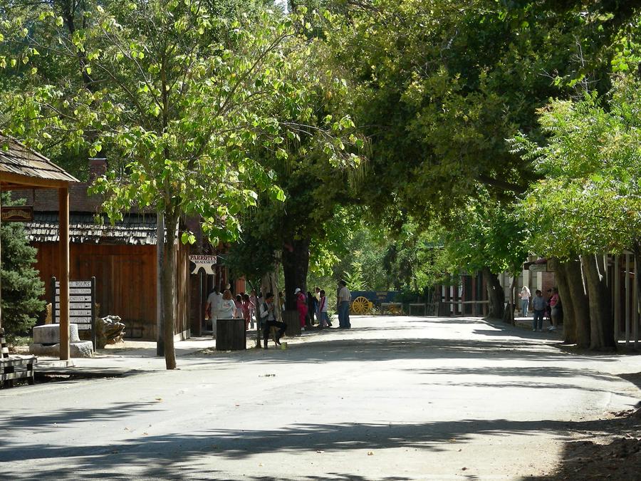
Main Street Again |
This is another shoot of main street in Columbia. |
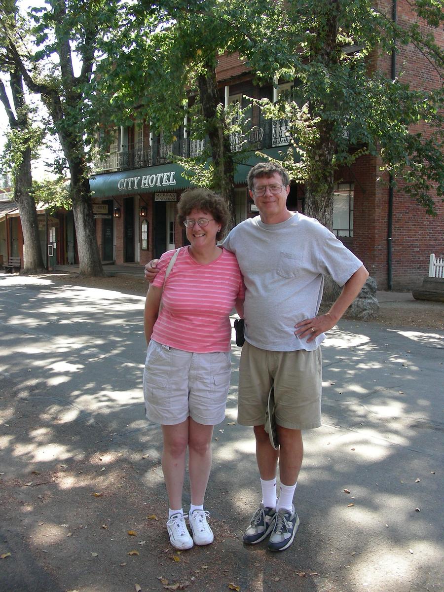
My Sister and Me |
We are still on Main Street. |
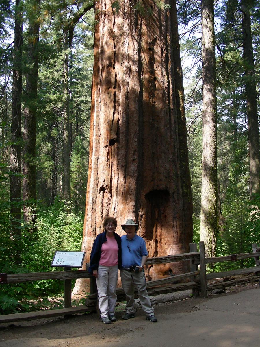
Entering Yosemite |
Bill and Mary Ann pose in front of a sequoia in Toulumne Grove, not too far into the Yosemite park North entrance. |
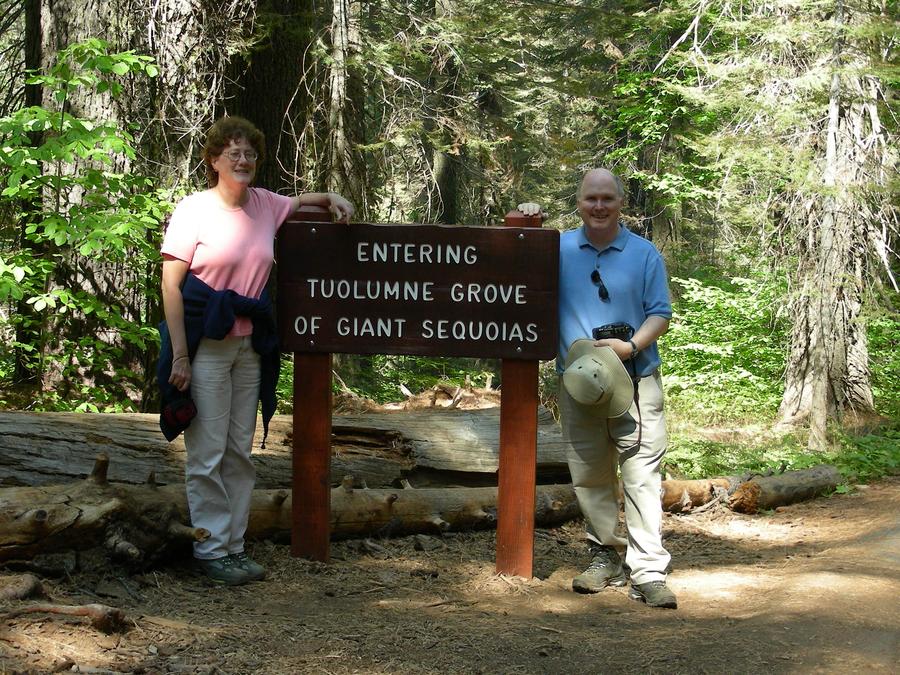
At A Sign |
Bill and Mary Ann at the sign in Toulume Grove. |
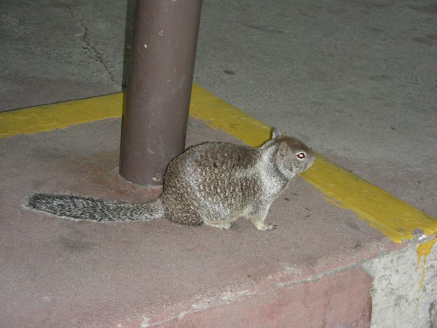
Wild Life |
Yosemite is full of strange and exotic creatures. |
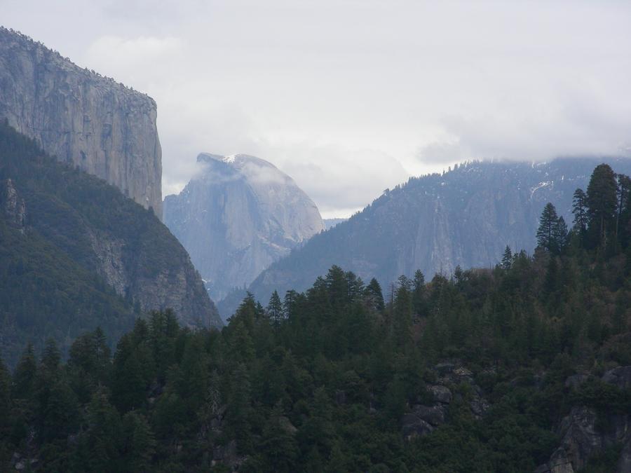
Yosemite Valley |
This is a shot of the Yosemite Valley from the north entrance. Half Dome is in the center, with El Capitain on the left. This photo was actually taken on a later trip. On this trip there was a lot of smoke in the valley from a controlled burn. |
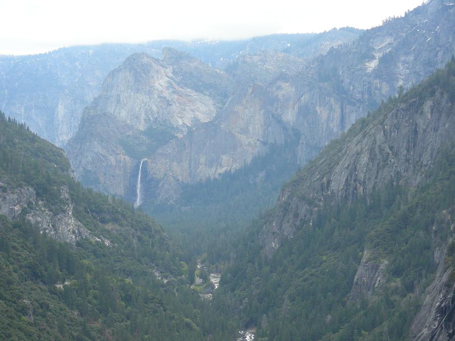
Bridal Vale Falls |
This is a shot of Bridal Vale Falls taken further along the north entrance road. This photo was also taken on a later trip. |
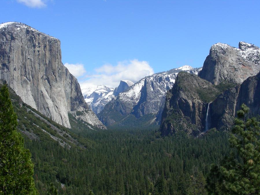
Yosemite Valley |
This is another shot of the valley, this time taken from the South entrance road. Bridal Vale falls can again be seen on the right. El Capitain is on the left and half dome is in the far center. This photo was also taken on a later trip. |
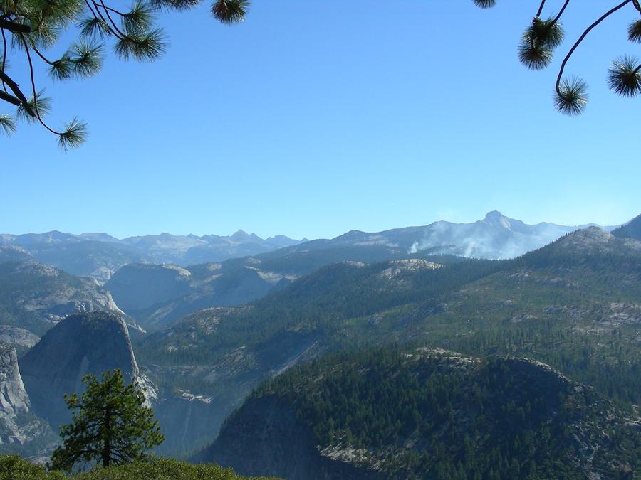
Galcier Point |
Glacier Point is at the end of the road that runs along the southern ridge of Yosemite Valley. Here the view is of upper Yosemite Valley and Nevada Falls. |
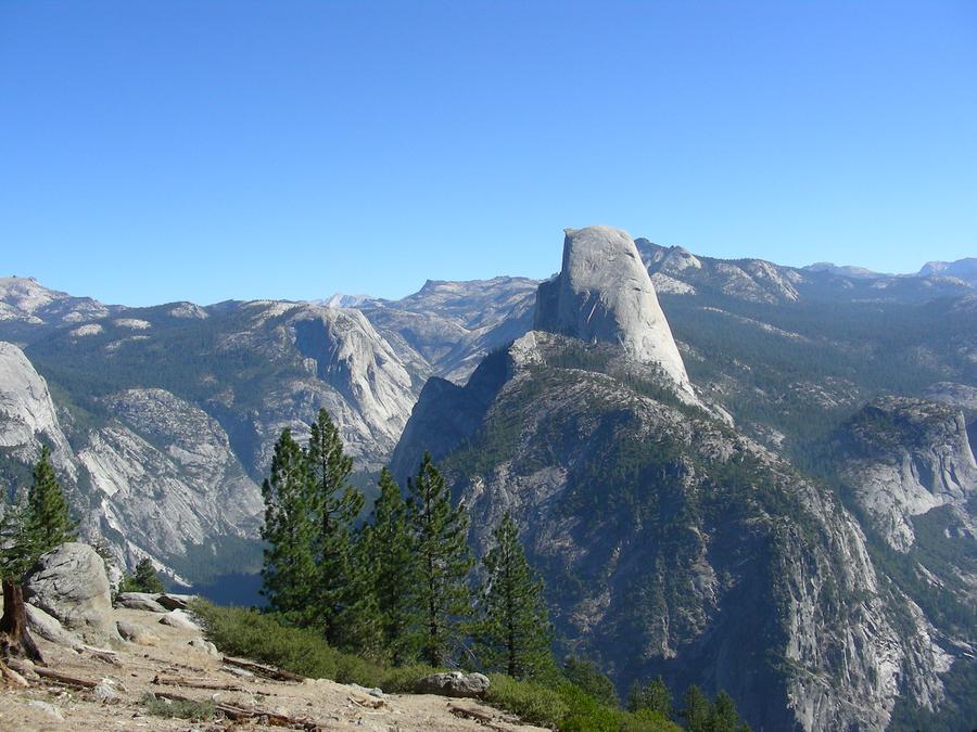
Half Dome |
This is Half Dome as viewed from Glacier Point. |
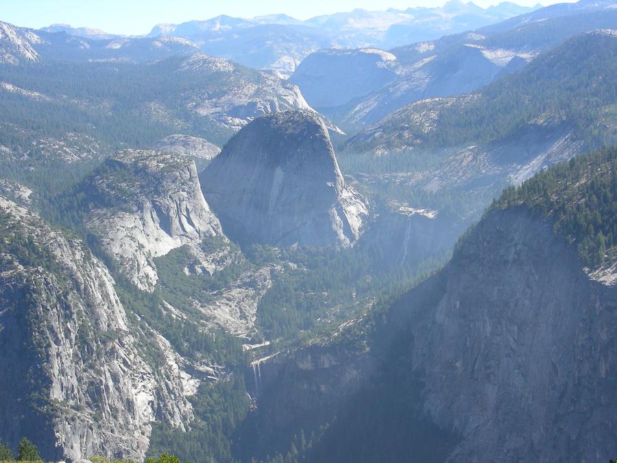
Upper Yosemite Valley |
This is another view of upper Yosemite Valley with both Nevada and Vernal Falls visible. |
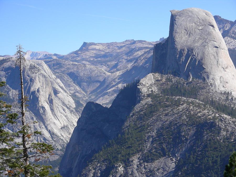
Half Dome |
This is another shot of Half Dome and the valley to the north of it, again from Glacier Point. |
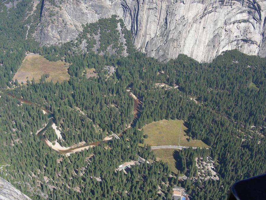
Main Valley |
This is Yosemite Valley as seen from Glacier Point. |
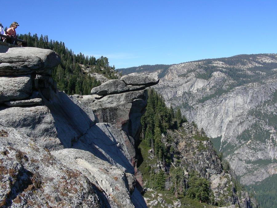
Main Valley |
This shows a rock hanging over the cliff into the main valley. |
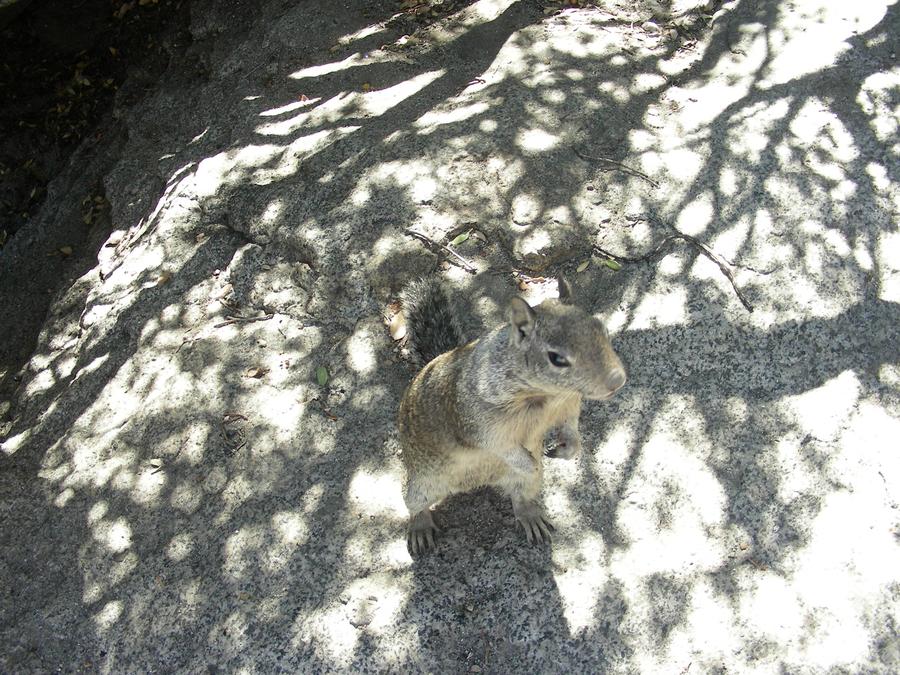
More Wildlife |
This guy lives at Glacier Point and showed more than a passing interest in my lunch. |
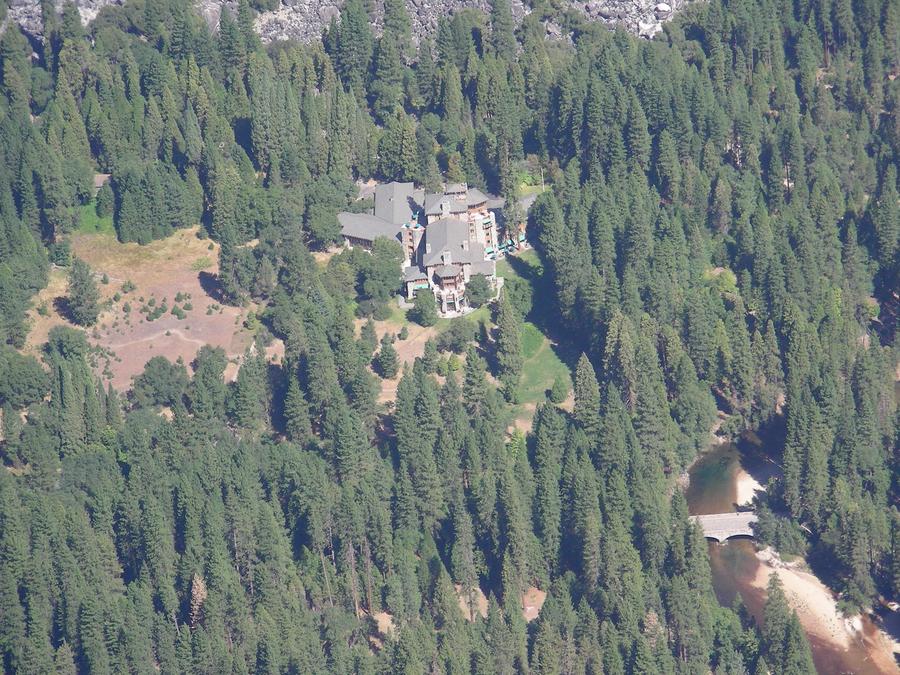
Ahwahnee Lodge |
This is Ahwahnee Lodge located in the main valley. |
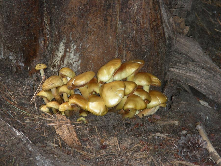
Mushrooms |
This was a nice crop of mushrooms I spotted on a short trail off Glacier Point road on the southern ridge above the main valley. |
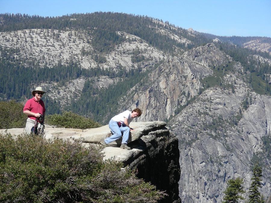
Near Taft Point |
Mary Ann looks over a ledge into the main valley near Taft Point. Bill maintains a more respectful few steps back. |
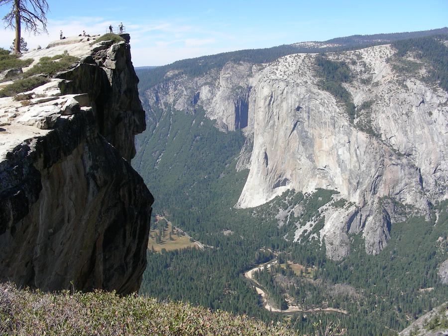
Taft Point |
This is a shot of Taft Point and the main valley below. |
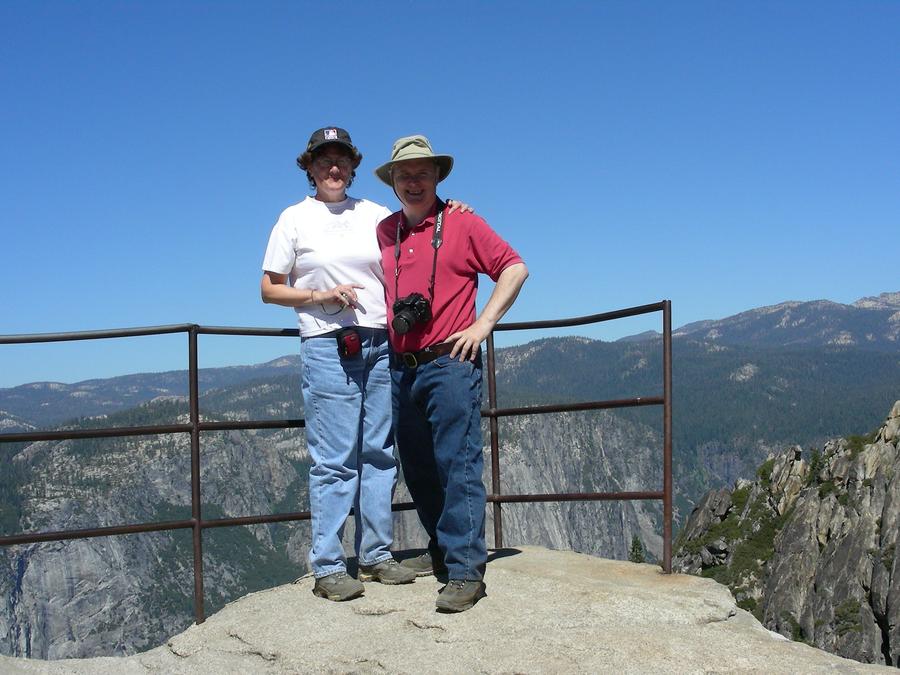
Bill & Mary Ann at Taft Point |
Bill and Mary Ann stand at the rail at Taft Point. |
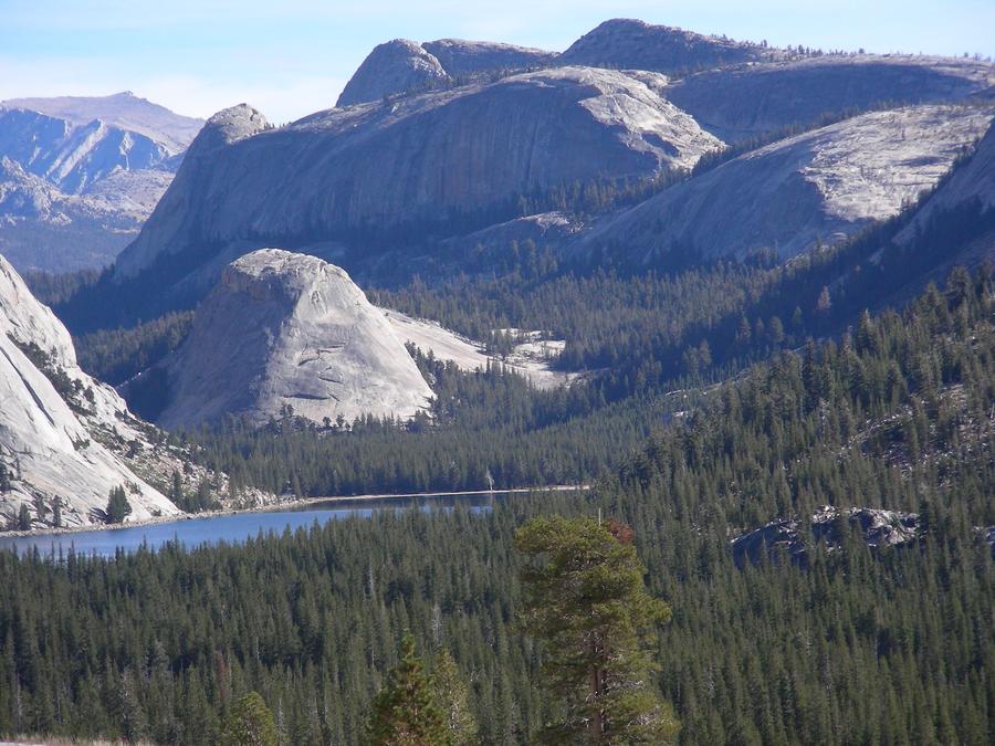
Lake Near Tioga Pass |
This is a small lake between Tuolume Meadow and Tioga Pass. |
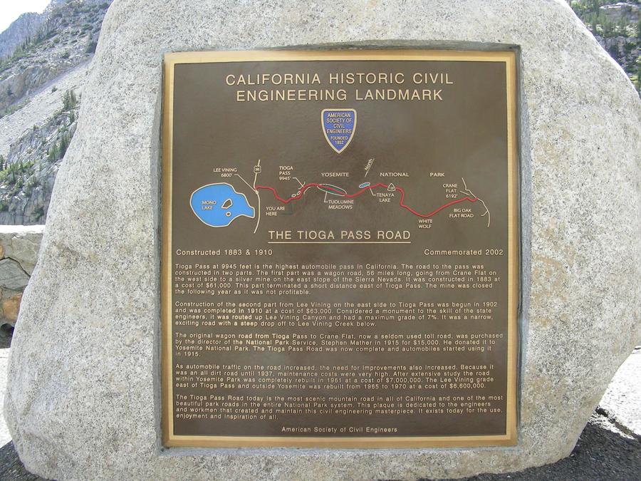
Tyoga Pass |
This is a plaque at Tioga Pass as we leave Yosemite. |
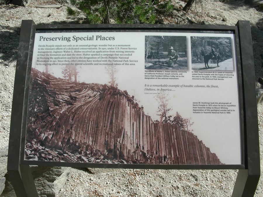
Devil's Post Pile Plaque |
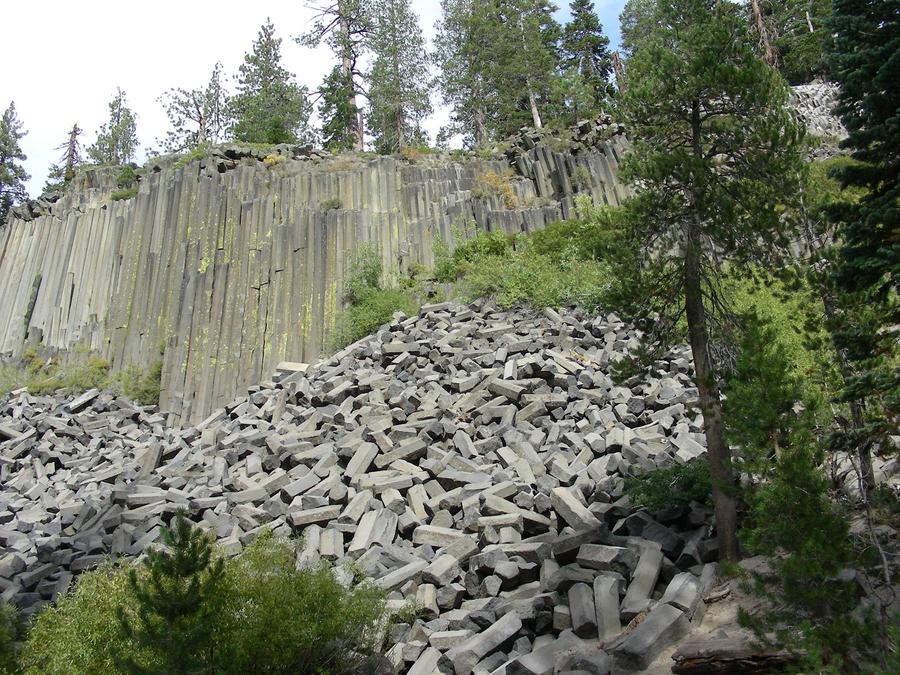
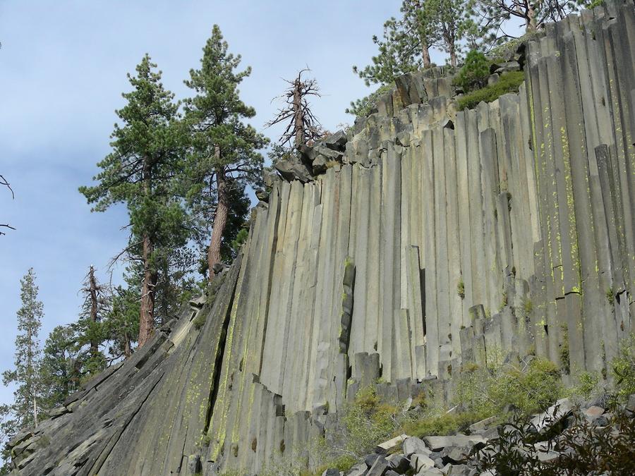
Returning from Yosemite, we came up 395 on the East side of the Sierras. We stopped at Mammoth and took a day hike at Devil's Post Pile. The post pile is a volcano core that cooled and fractured onto octagonal stone columns. |
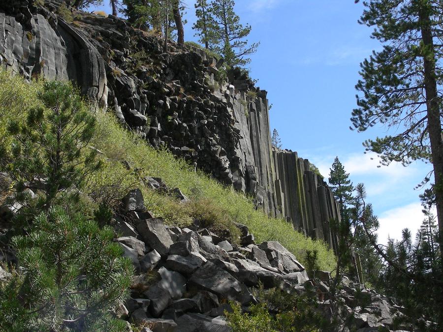
Devil's Post Pile |
This is a shot of the formation from the bottom. |
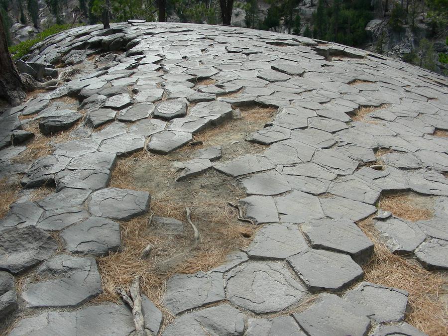
On Top of the Post Pile |
This is a shot of the top of the post pile formation. |
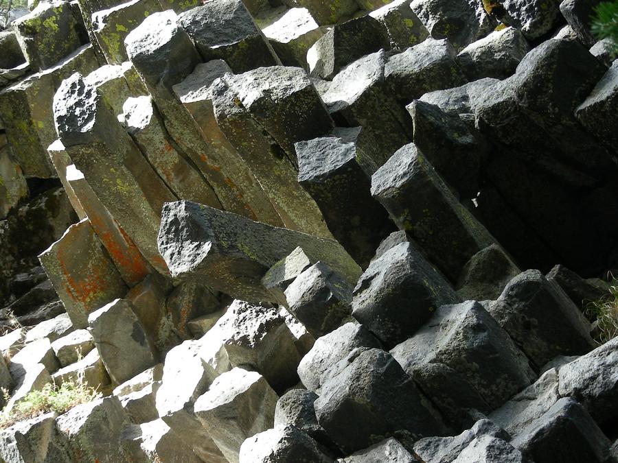
Devil's Post Pile |
This is a close-up of the rock formation. |
Devil's Post Pile |
Another shot from the bottom of the post pile. |
Devil's Post Pile |
Another shot from the bottom of the post pile. |
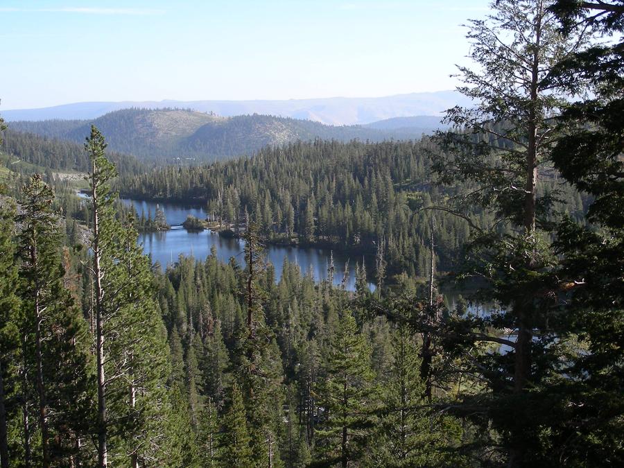
Lakes at Mammoth |
These are tome of the lakes sitting behind the town of Mammoth. |
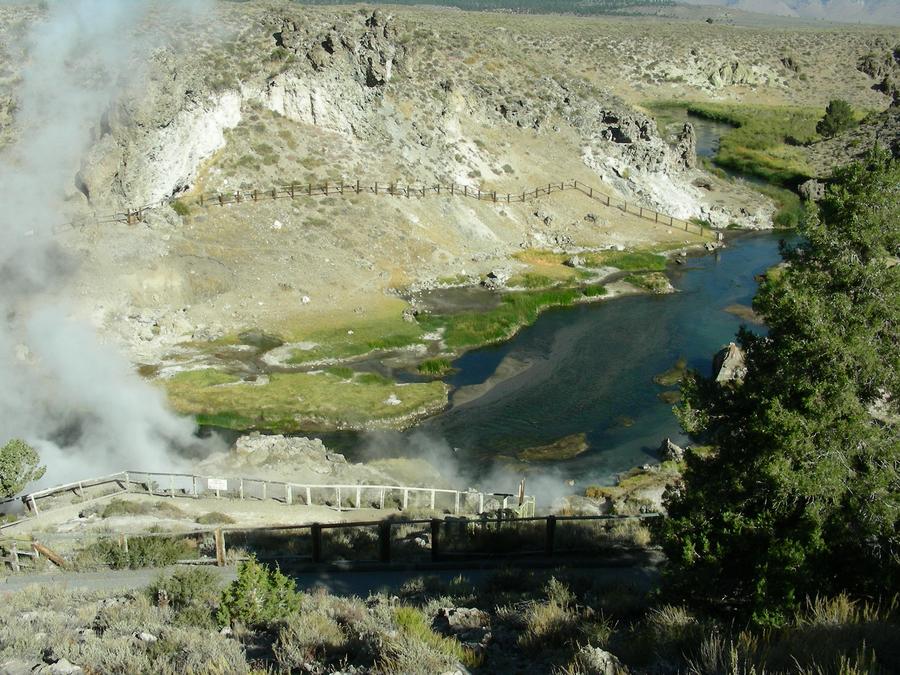
Hot Springs |
These hot springs sit right next to a small stream. The area is about 10 miles from Mammoth in the Owens Valley. |
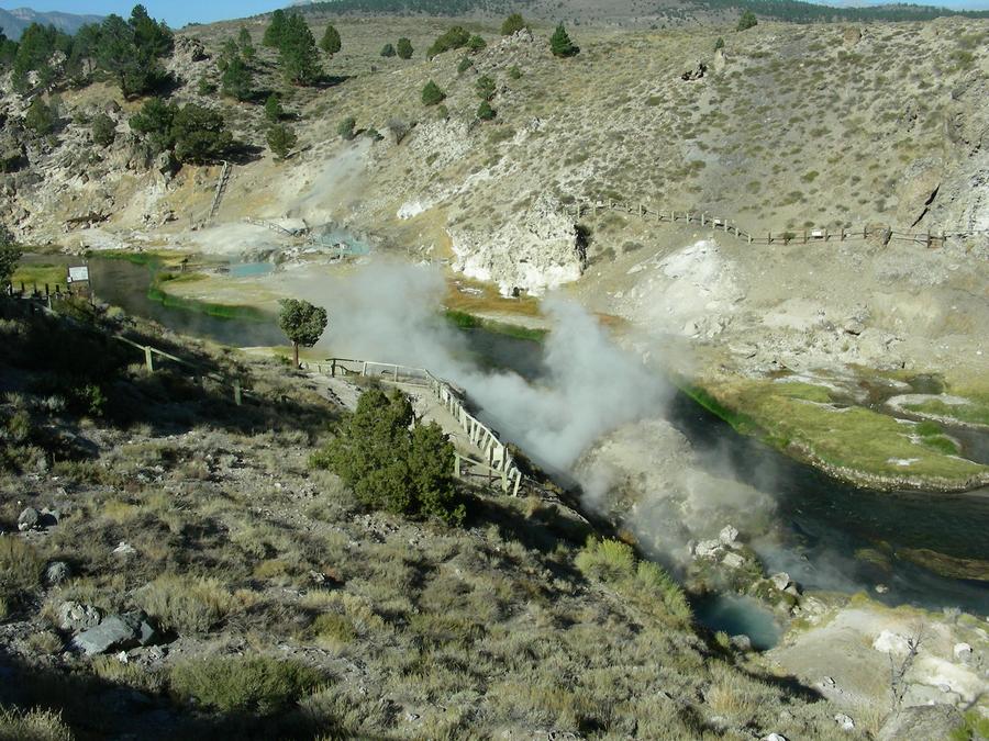
Hot Springs |
This is another shot of the hot springs. |
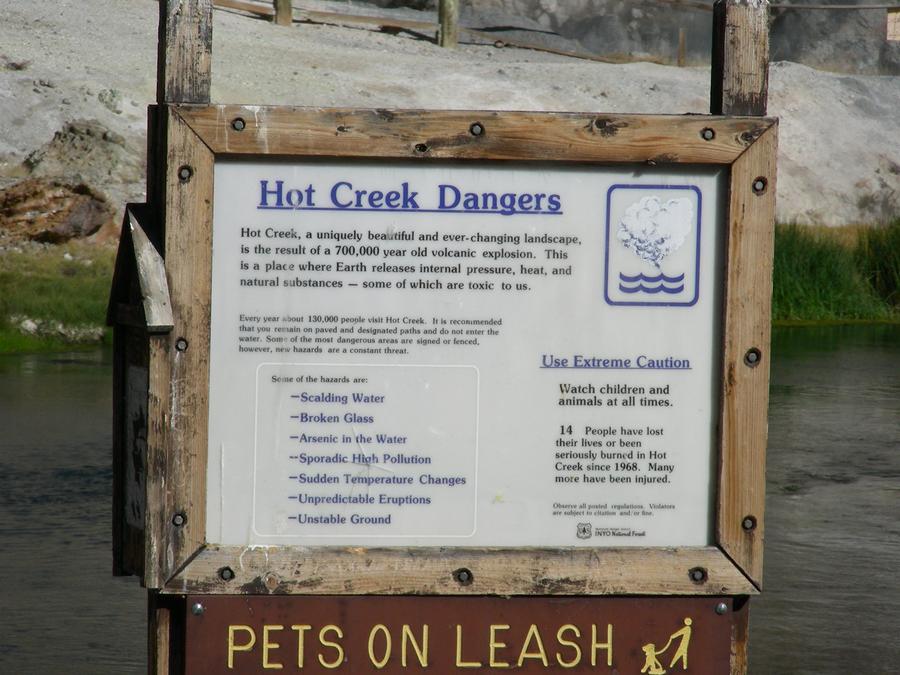
Hot Springs Plaque |
This is a plaque at the hot springs. |
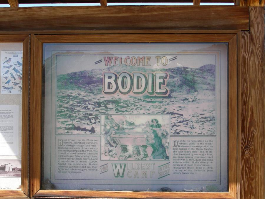
Bodie Plaque |
The town of Bodie is the ghost town of a mining town to the east of 395. It has been preserved as a California state park. |
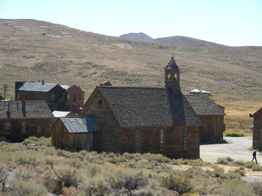
Bodie |
This is a shot of the back of the Bodie church. |
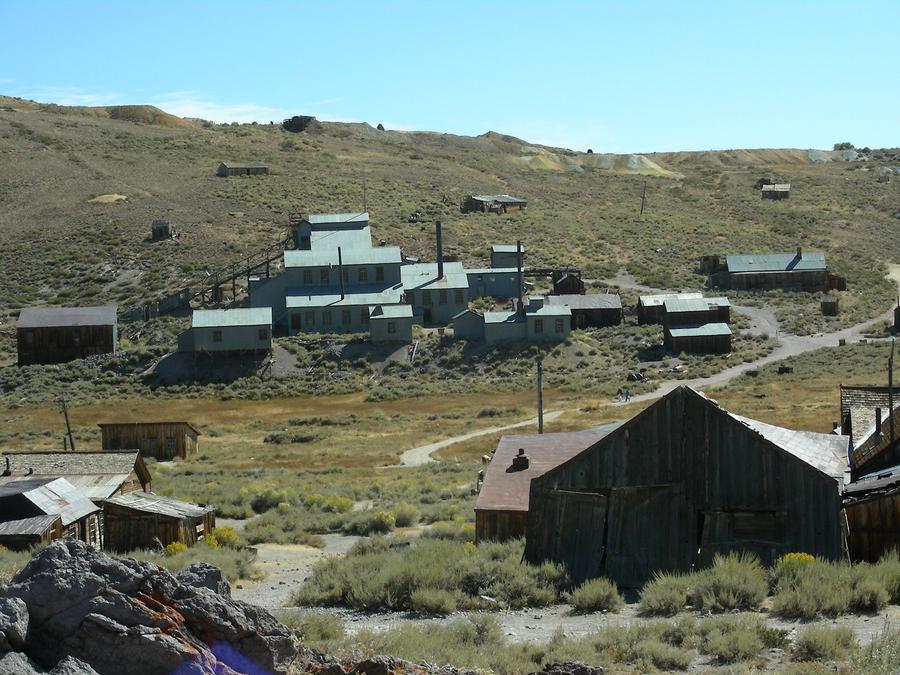
Bodie |
This is a shot of a Body mine sitting at the outskirts of the town. |
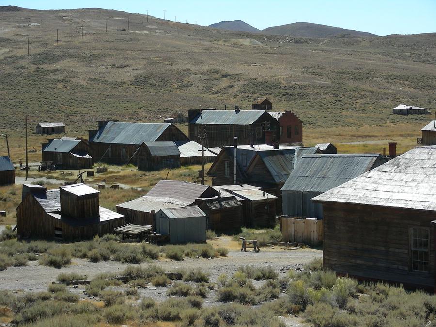
Bodie |
Some more houses in Bodie. |
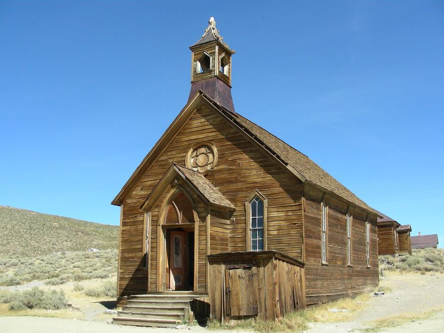
Bodie Church |
This is a front shot of the Bodie church. |
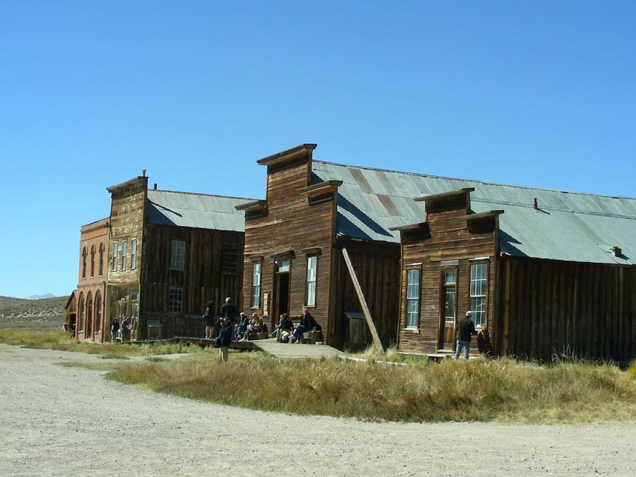
Bodie Down Town |
This is the Main street of Bodie. |
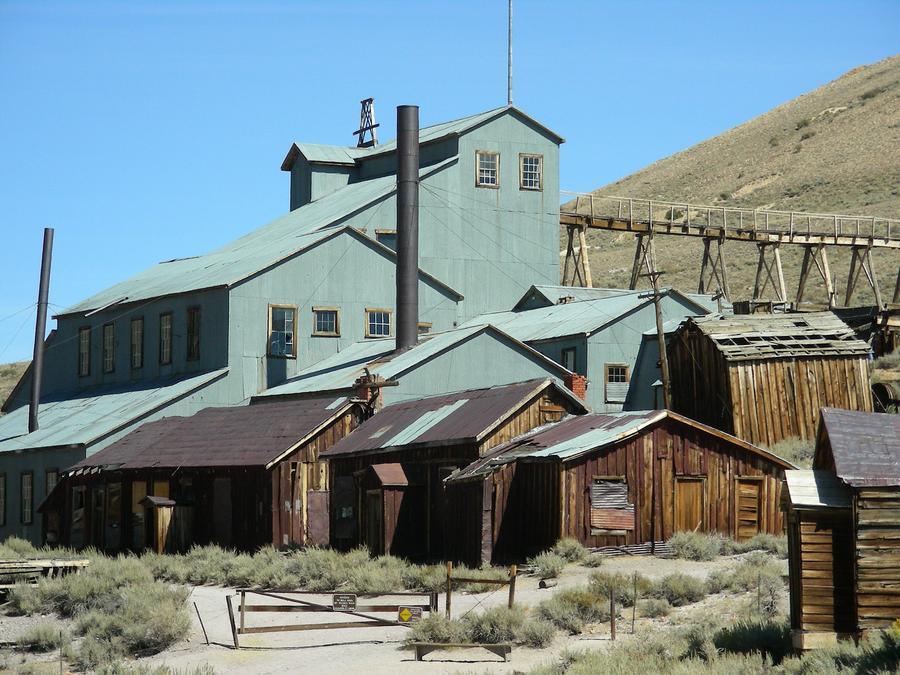
Bodie Mine |
This is a close-up of the mine. |
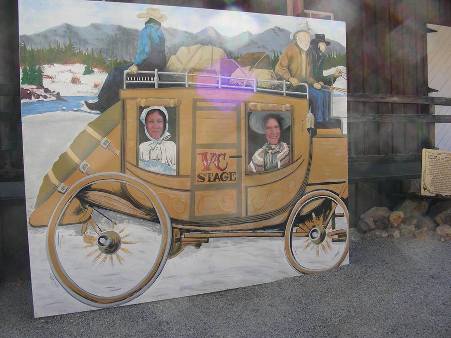
Bodie Tourists |
Tourists do funny things. |
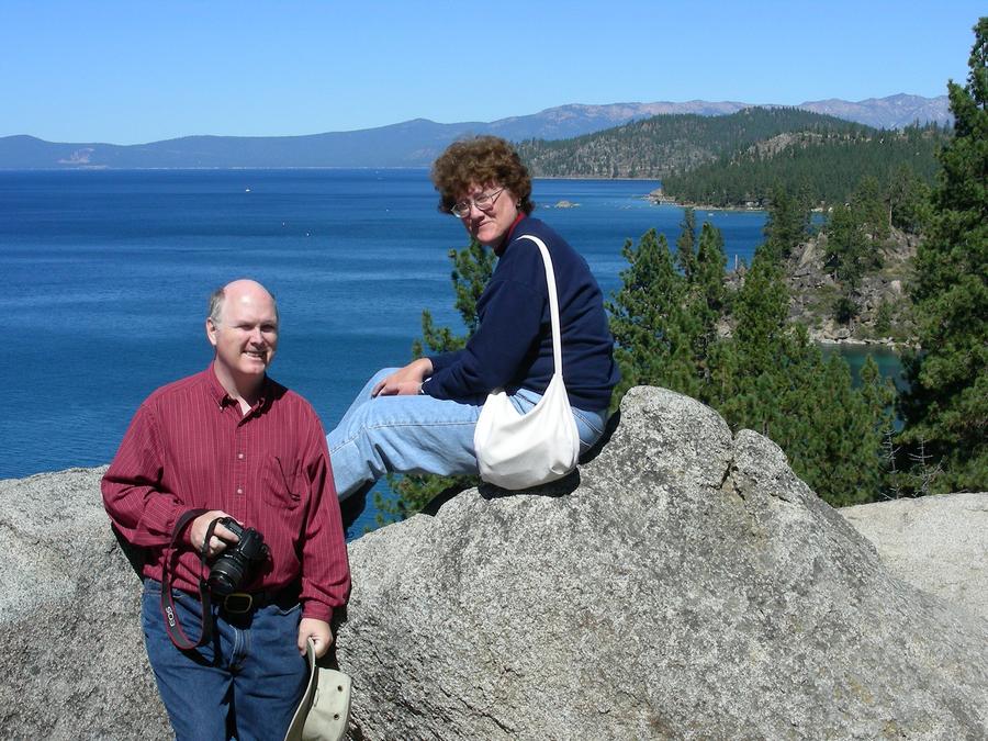
Lake Tahoe |
This is a shot of Bill and Mary Ann at Tahoe, near the end of our trip. |

Go To Top