Southwest Tour
In May of 2006 my high school friend, Len, and I did a tour of the southwest.
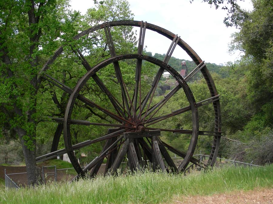
Start of Trip |
We've just started our trip. This is a water wheel in a town park in Jackson. |
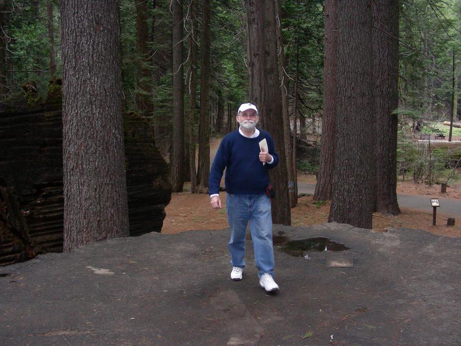
Big Stump |
Len is walking on the stump of a Sequoia in Calaveras Big Tree State Park above Arnold. |
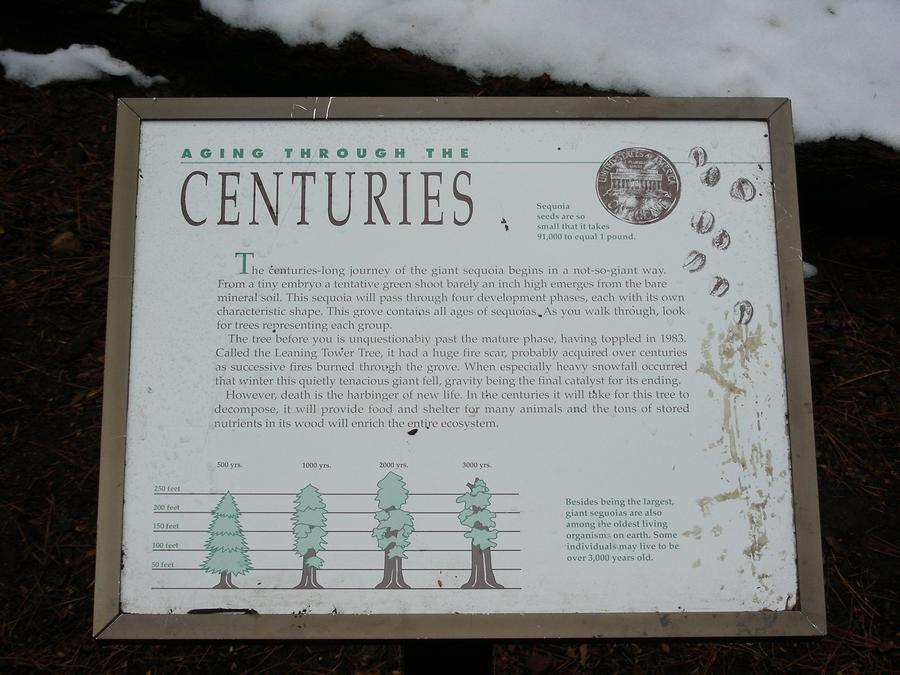
In Yosemite |
This is a plaque in a Sequoia grove just inside Yosemite. |
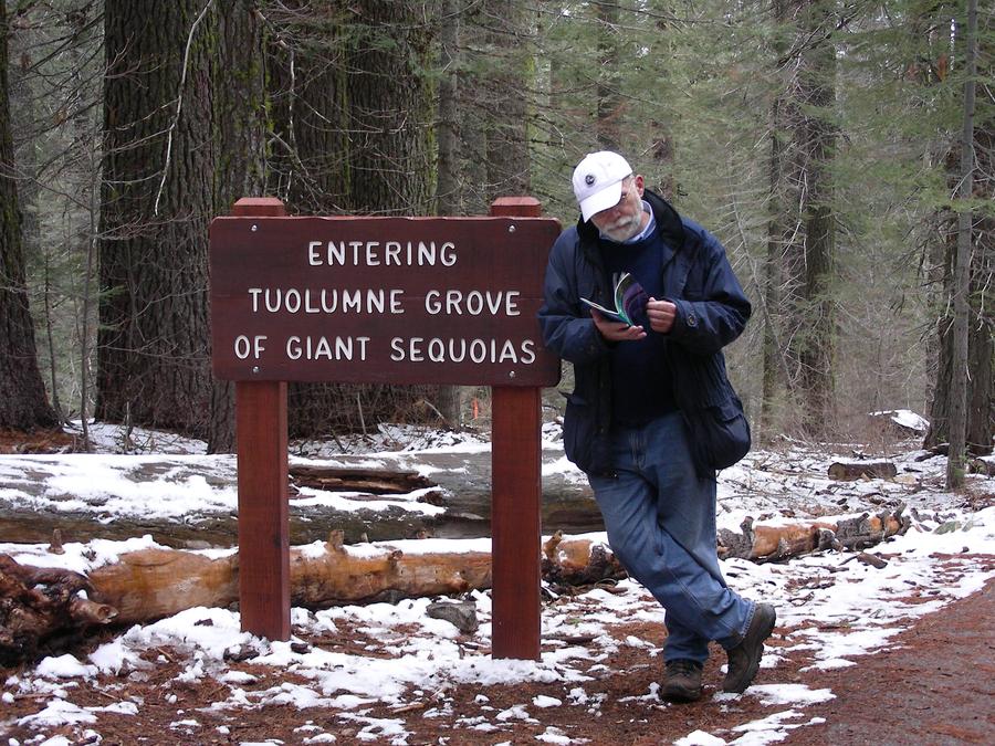
Sequoia Grove |
Len is by the sign at the enterance to the Sequoia grove. |
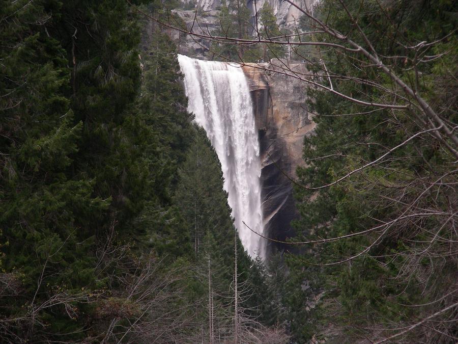
Vernal Falls |
This is Vernal Falls by the upper Yosemite Valley trail. It is about a 2 mile walk in from the upper end of the main Yosemite Valley. |
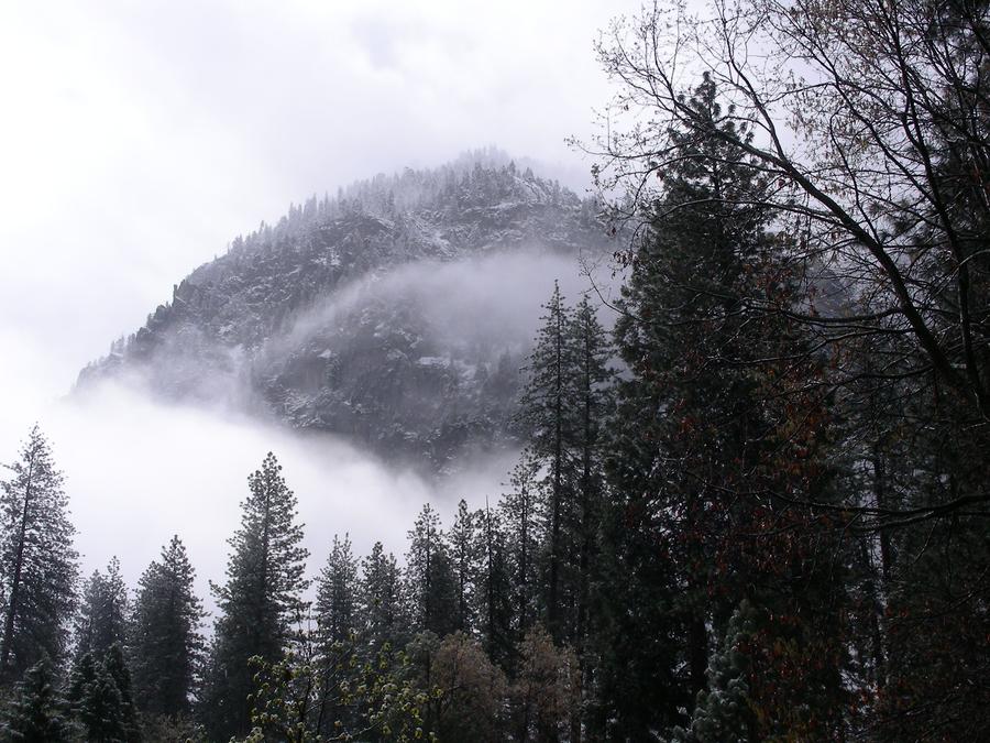
Snow in April |
This is a ridge above the main valley. It had snowed the night before. |
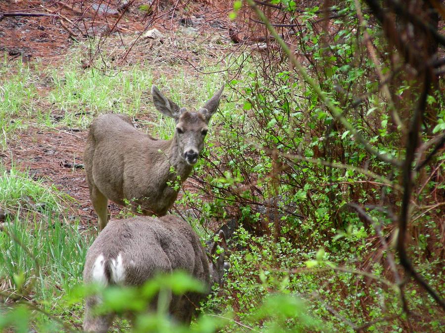
The Natives |
The deer are very used to people. These deer are in the middle of a small shopping center in the main valley. |
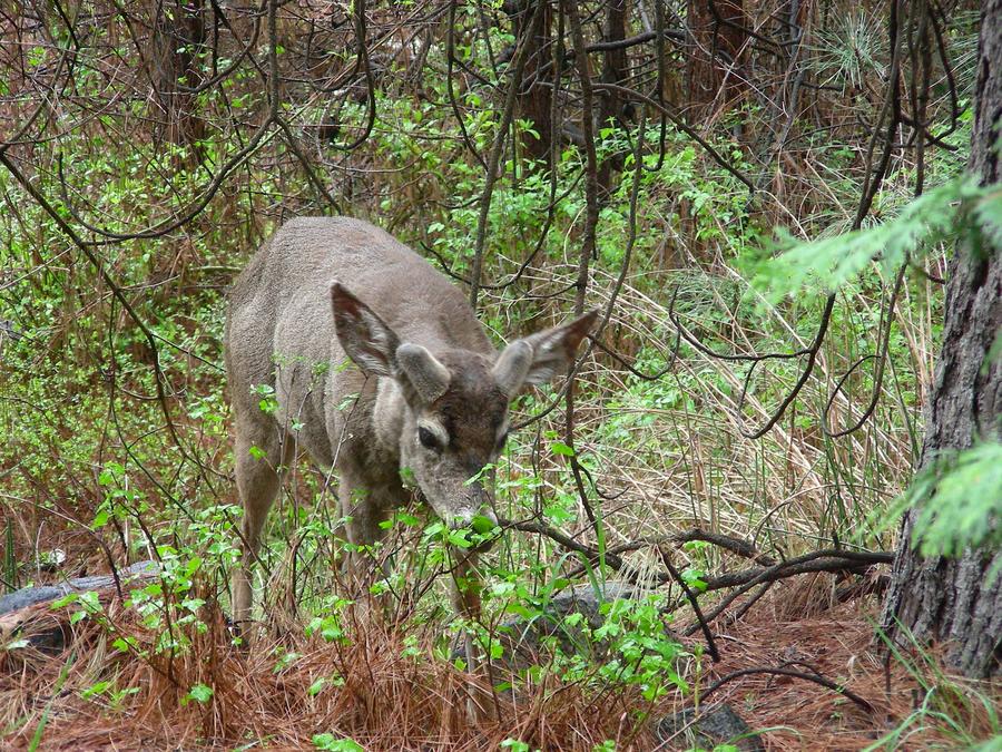
Another Native |
This is another deer with his antlers in velvet. |
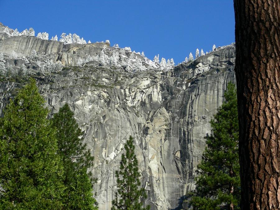
Ridge Line Snow |
The previous day it had snowed. This day it is bright and sunny. This is a shot of the south facing ridge line outside of our motel in the main valley. The show has all melted on the trees in the forground, but the trees on the ridge are still covered. |
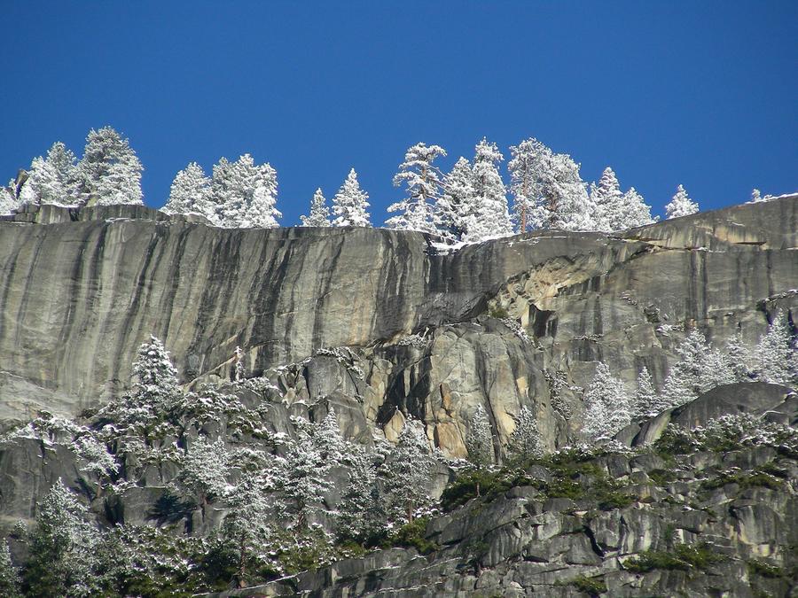
Ridge Line Again. |
This is a close-up of the ridge line trees. |
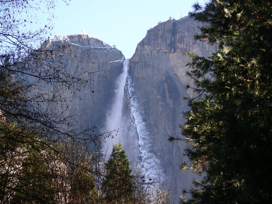
Yosemite Falls |
This is a shot of the uppper section of Yosemite Falls. Mist from the falls has drifted over to the cliff face and frozen on the rocks. |
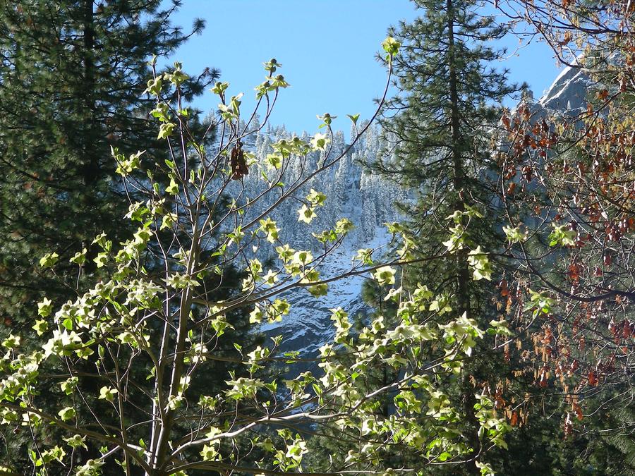
Contrasts |
This is another shot from outside our motel in the main valley. In the forground a tree is blooming, and in the backround, trees on the ridge are covered with snow from the night before. |
Yosemite Falls |
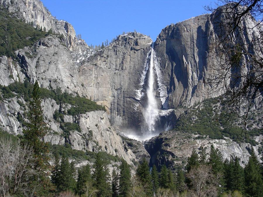
This is another shot of Yosemite Falls with the upper and lower falls visible. |
The Falls and Me |
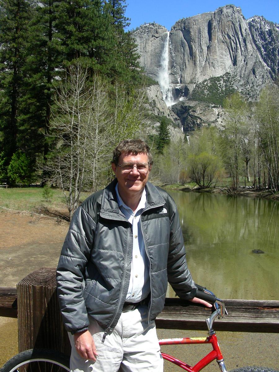
On our last day in Yosemite, Len and I rented bikes and rode around the main valley. Here I am with Yosemite Falls in the backround. |
Leaving the Valley |
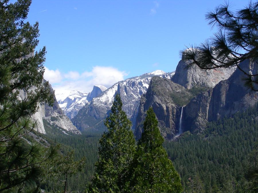
This is a shot of the main valley from the southern road out of Yosemite. You can see Bridal Vale Falls on the right and Half Dome in the center. |
Still Leaving the Valley |
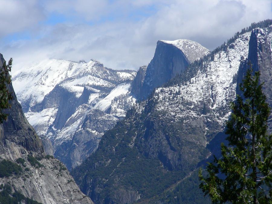
This is a close up of Half Dome. |
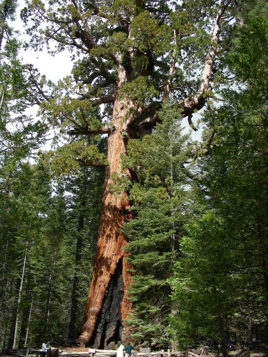
Mariposa Grove |
The Mariposa Grove is on the southern road out of Yosemite. This is one of the older Sequoias in the grove. |
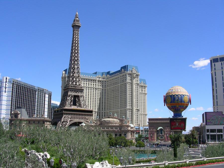
Wierd |
The day after Yosemite, we were in Las Vegas, a very strange place. |
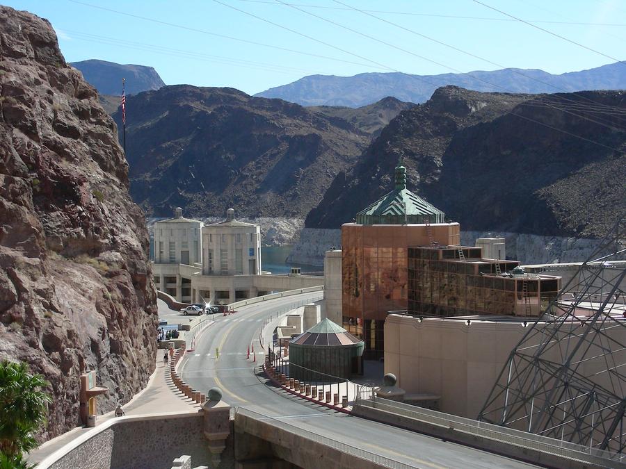
Hover Dam |
We stopped at Hover Dam on our way to the Grand Canyon. |
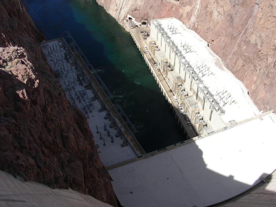
Hover Dam |
This is a shot of the bottom of the spill way. |
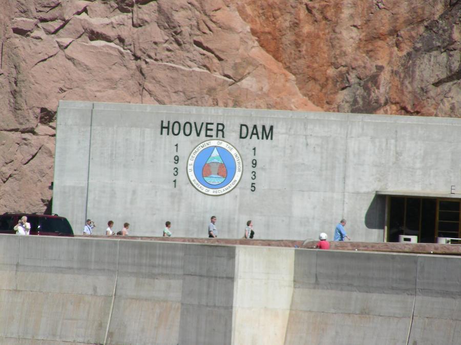
Hover Dam |
This proves it really was Hover Dam, and not some cheap Las Vegas imitation. |
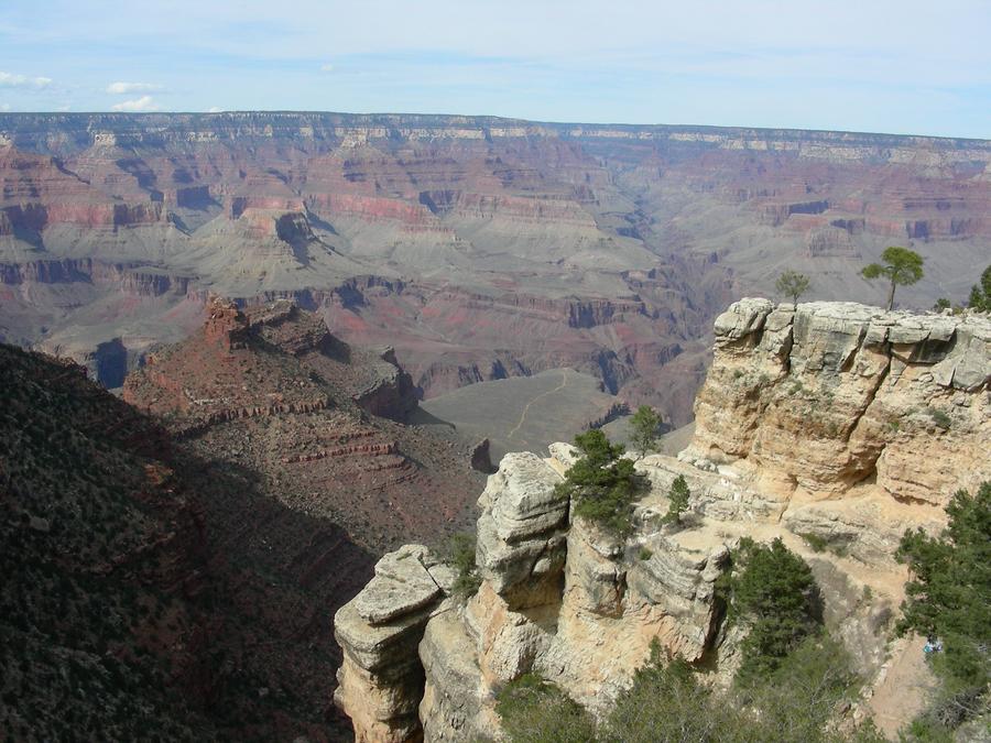
Grand Canyon |
This is a shot of the Grand Canyon from the park area on the South Rim. |
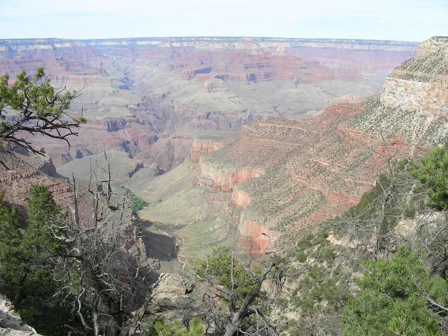
Grand Canyon Bright Angle Trail |
This is Bright Angle Trail that follows a fault line between the South Rim and the Colorado River. The fault line and the trail continue to the North Rim of the canyon. |
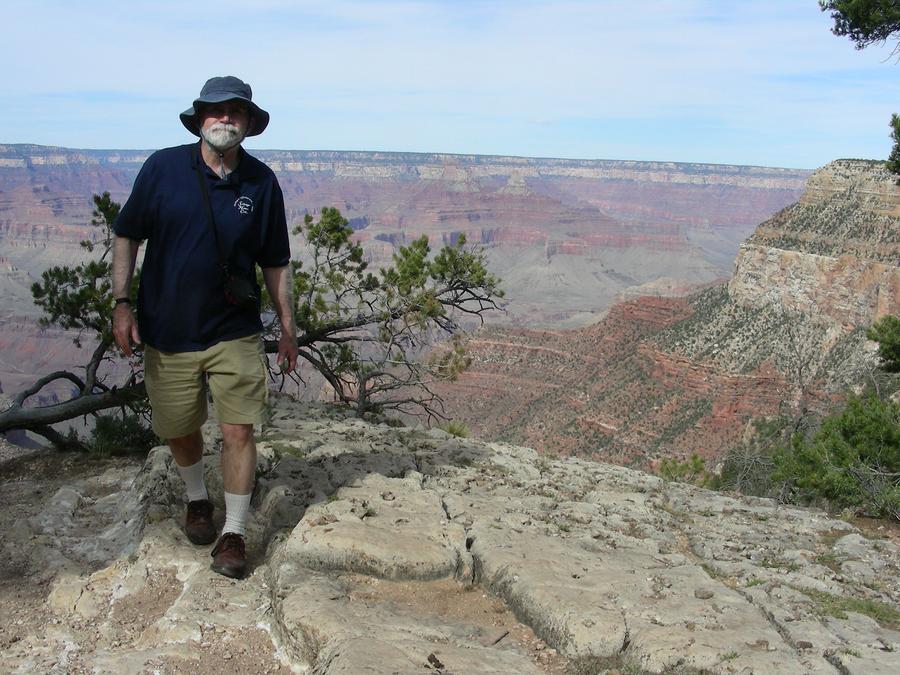
Len on the Rim |
Len is on the edge of the South Rim. |
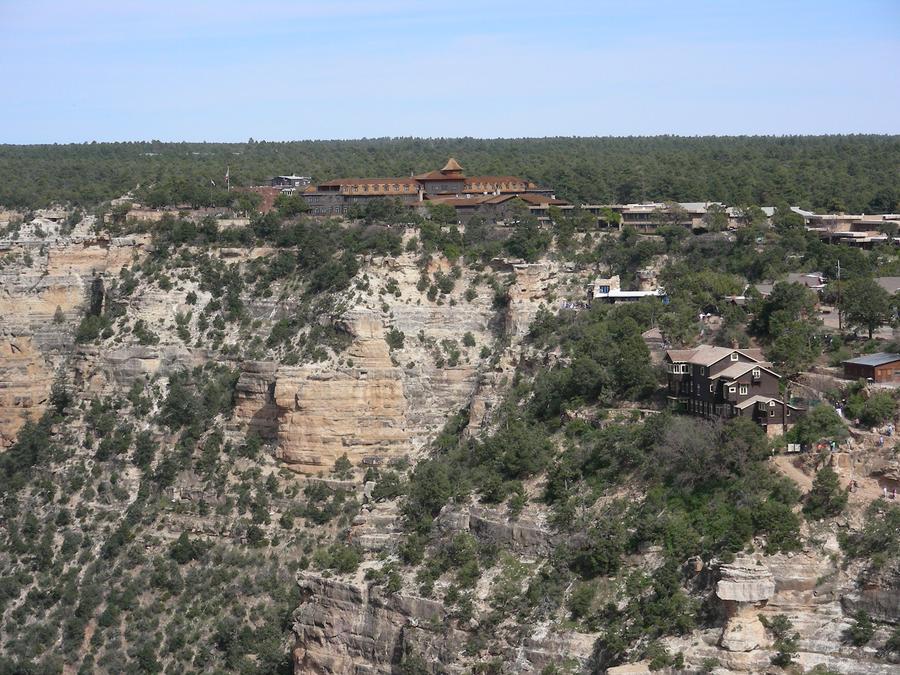
Park Tourist Center |
This is the park tourist center area. The picture is taken a little further west on the canyon rim. |
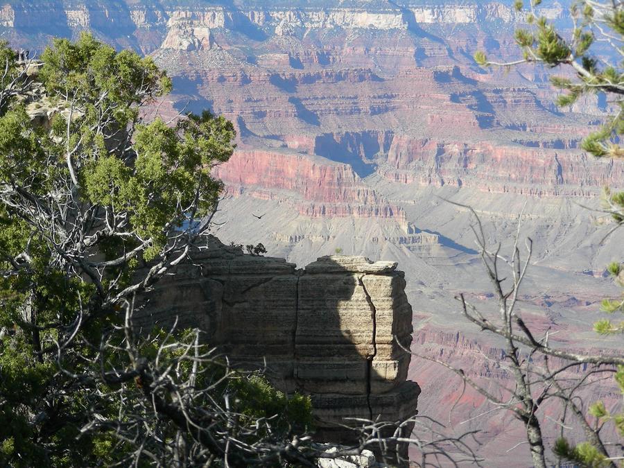
The Canyon |
This is a shot from the South Rim. |
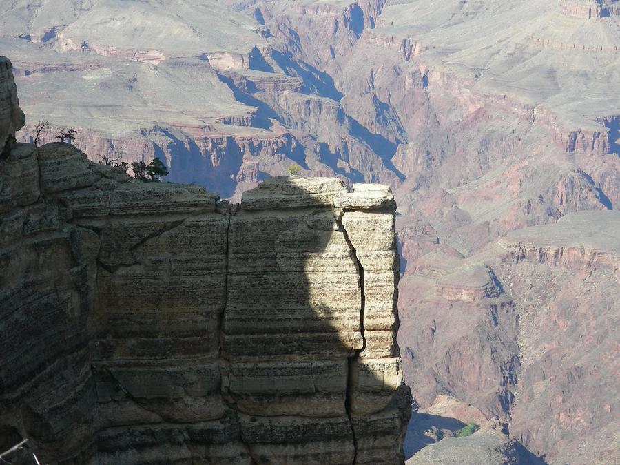
A Close Up |
This is a close up of the same area. |
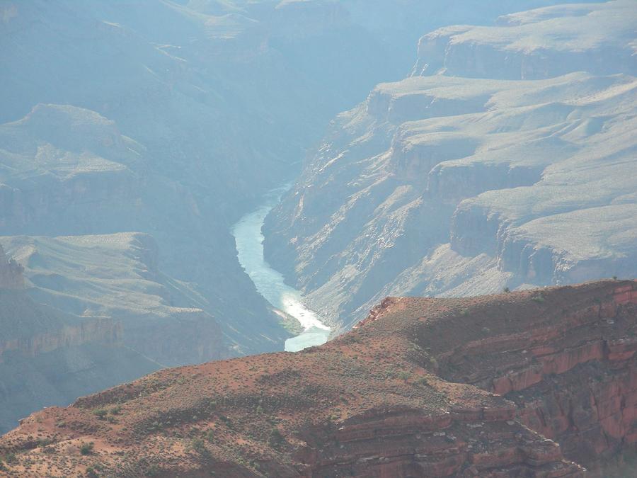
The River |
The canyon is so deep that there are only a few places on the rim where you can actually see the river. This is one of them. |
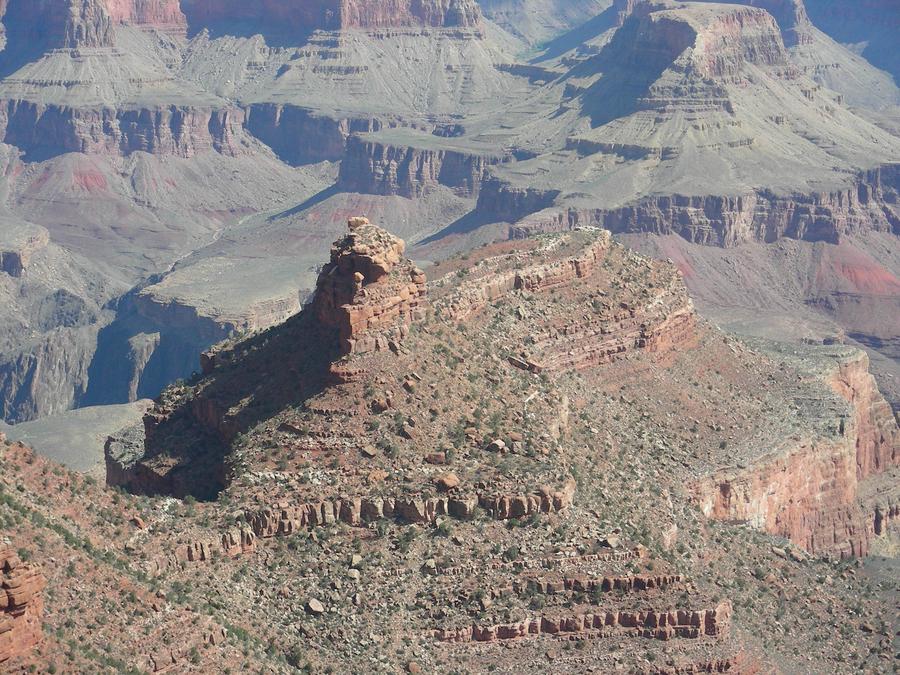
The Descent |
This is our second day at the canyon. We are at the Kaibab trail head, ready to start our descent into the canyon. |
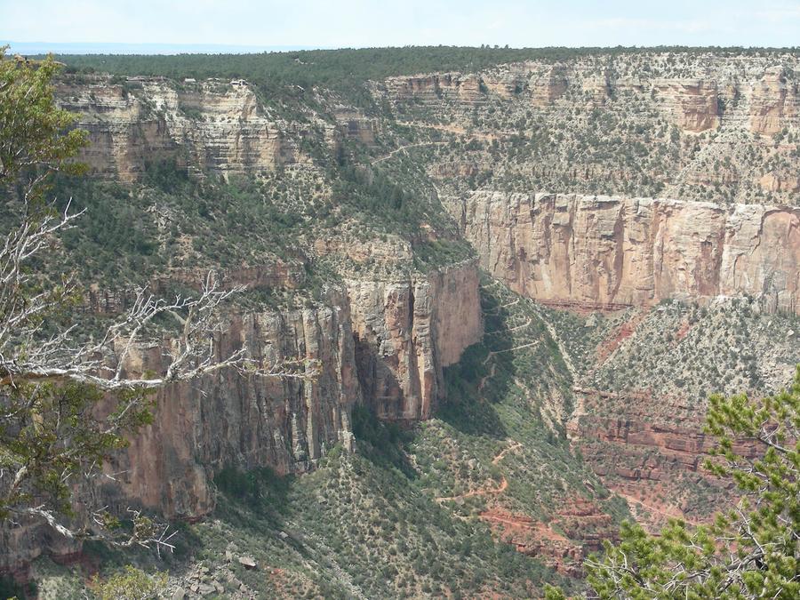
Bright Angle Trail |
This is the Bright Angle Trail as seen from the Kaibab trail head. We will take 2 days coming up this trail. |
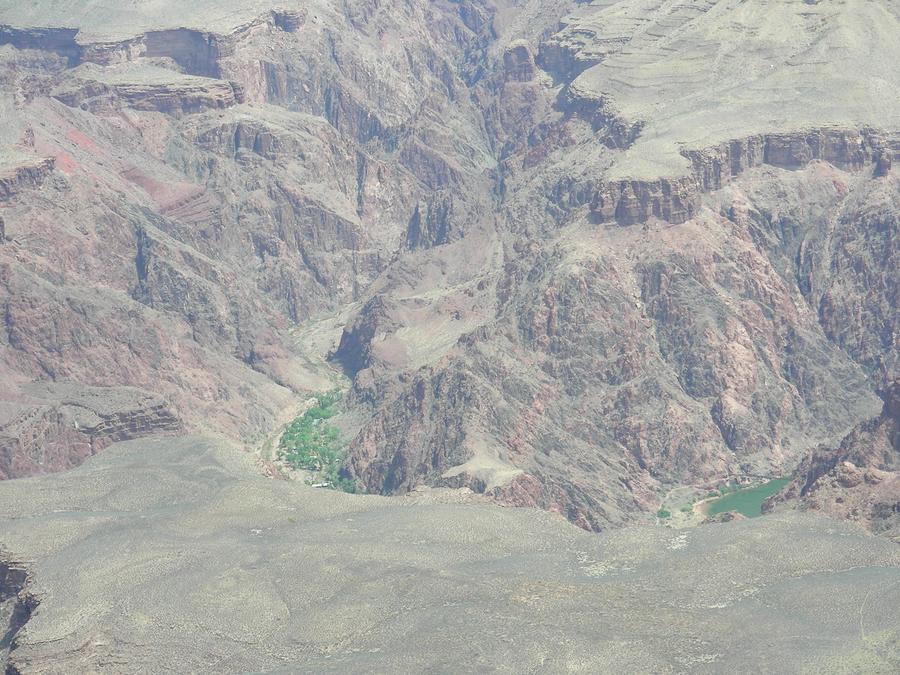
Phantom Ranch |
The green patch is the Phantom Ranch area at the bottom of the canyon. We had hoped to get reservations at the ranch itself, and only carry day hike gear into and out of the canyon. Unfortunately, we couldn't get reservations. We did manage to get permits for the Phantom Ranch camp ground for our first night and for the Indian Gardens camp ground on the Bright Angle trail for our second night. |
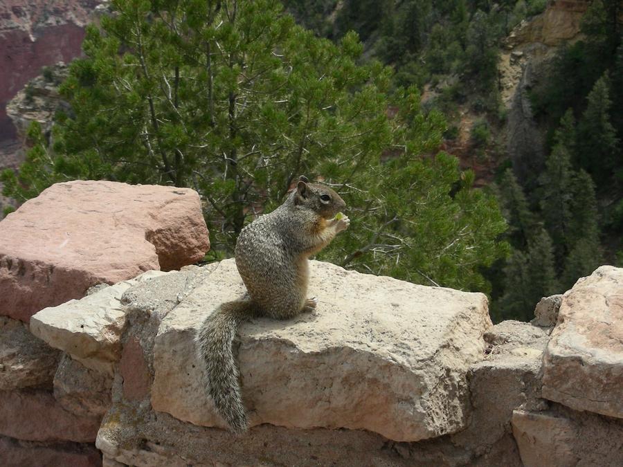
Fairwell Committee |
This ground squirrel was the only fairwell committee the park service could arrange for us at the Kaibab trail head. |
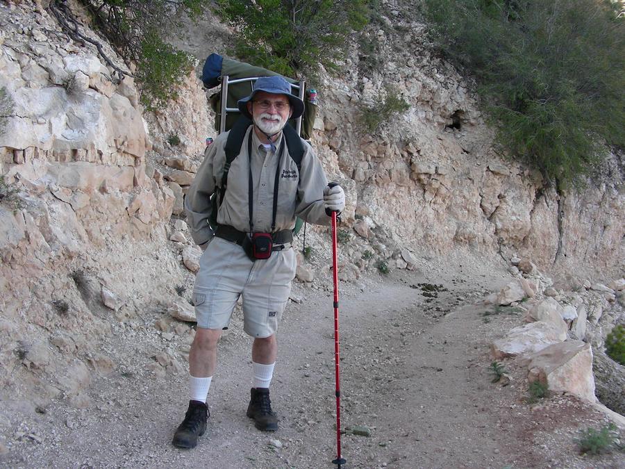
Into the Canyon |
This is Len and his pack at the beginning of the descent. |
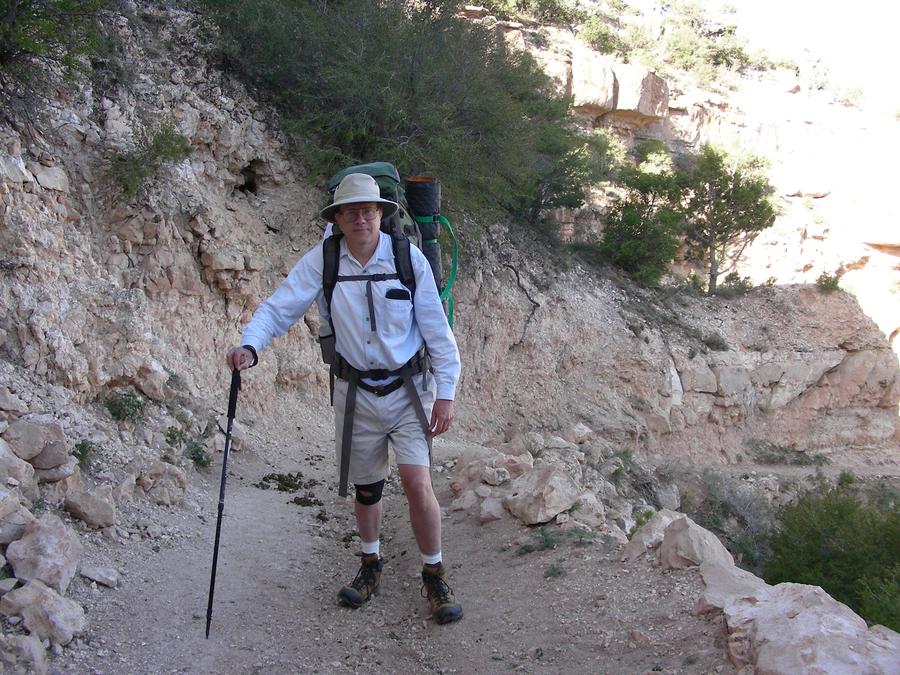
Into the Canyon |
This is me and my pack. |
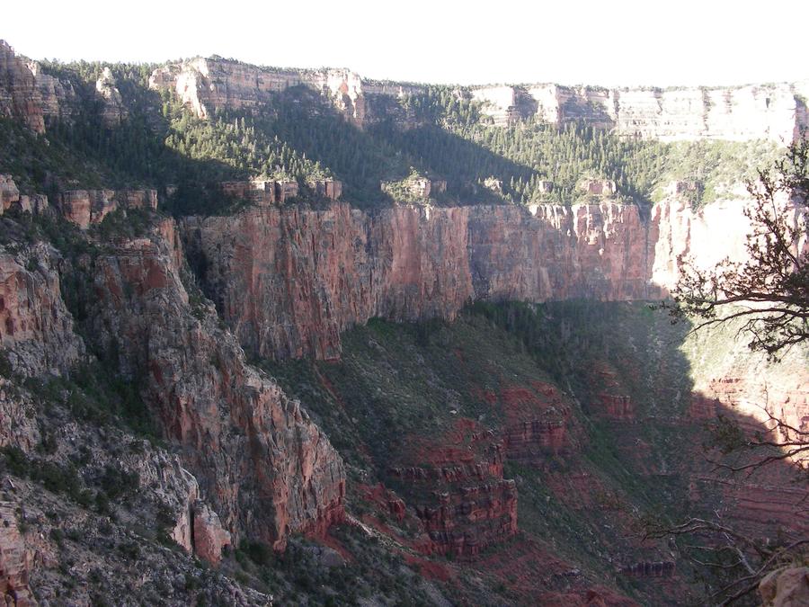
Kaibab Trail |
This is a shot of the upper south rim. |
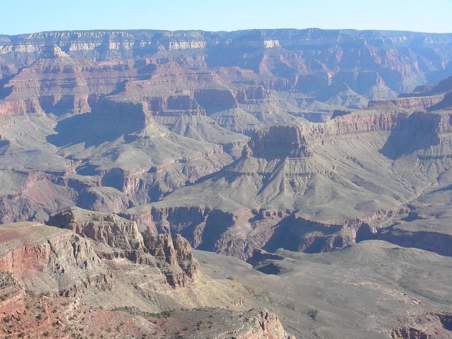
Kaibab Trail |
This is a shot into the canyon. |
Kaibab Trail |
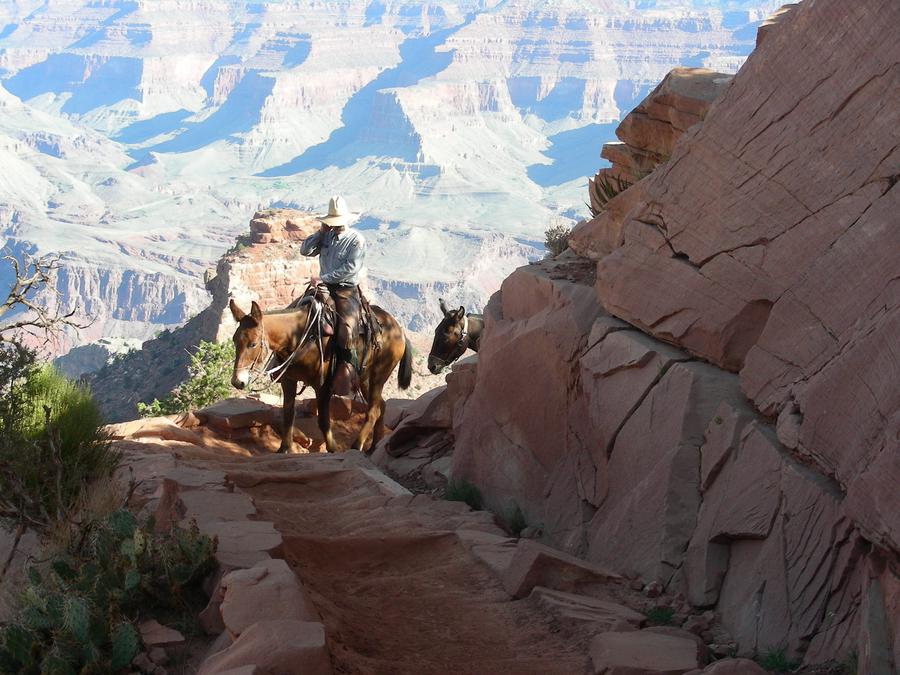
There are a lot of mule trains carrying tourists into and out of the canyon. |
Kaibab Trail |
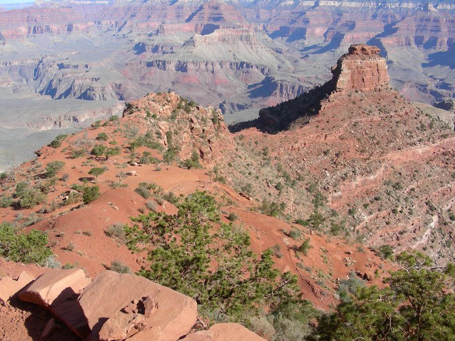
Another shot into the canyon. |
Kaibab Trail |
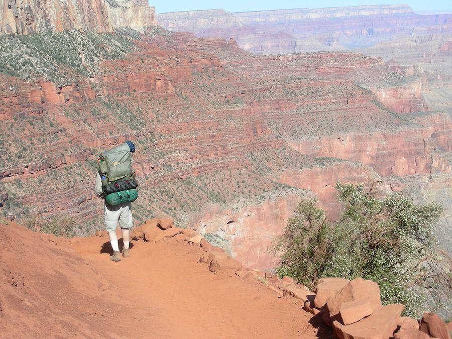
Len was a real animal on the trail. |
The River from the Kaibab Trail |
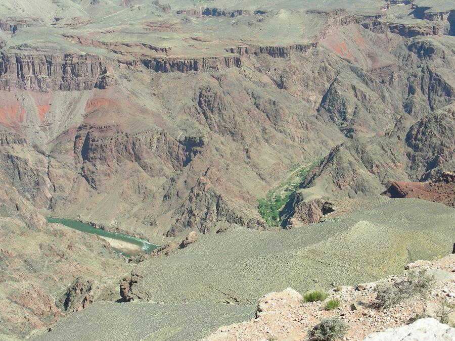
Here you can see the Colorado river and the Phantom Ranch camp grounds. |
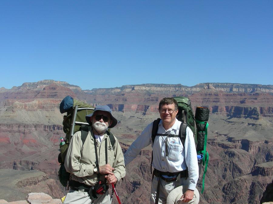
Kaibab Trail |
Here we take a moment to pose with a very impressive backround. |
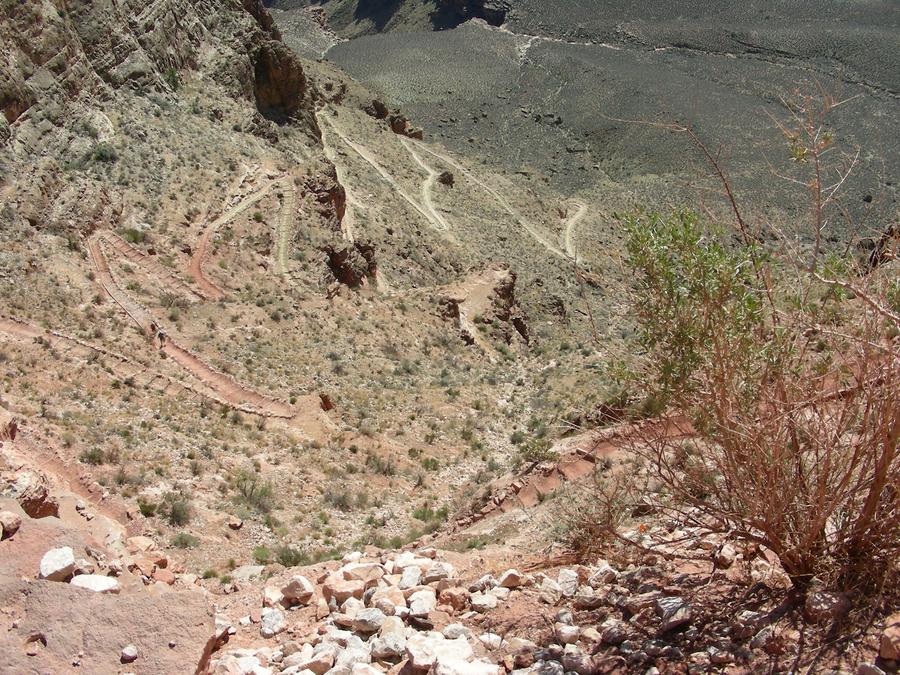
Kaibab Trail Switch Backs |
All self respecting trails have impressive switch backs. This is one of several. |
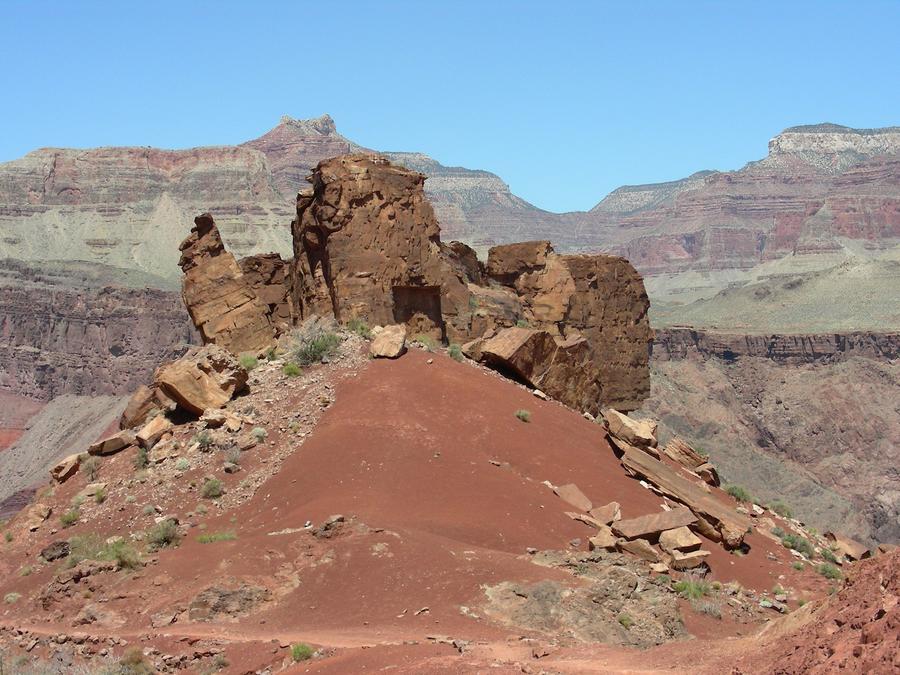
Kaibab Trail |
This is a wild rock formation with the trail going around to the right below it. |
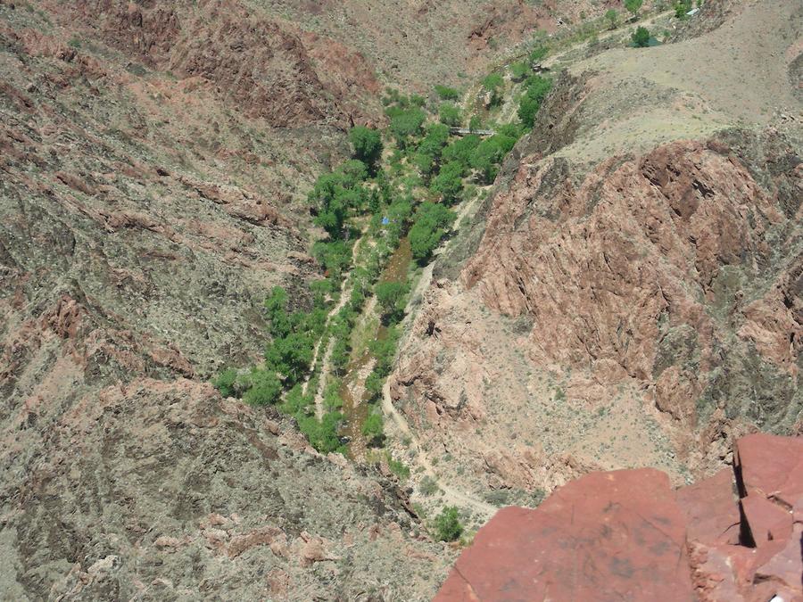
Phantom Ranch Camp Grounds From the Kaibab Trail |
We are getting close. This is the Phantom Ranch camp grounds with a small stream running through the center of it. The camp sites are in a line to the left of the stream. |
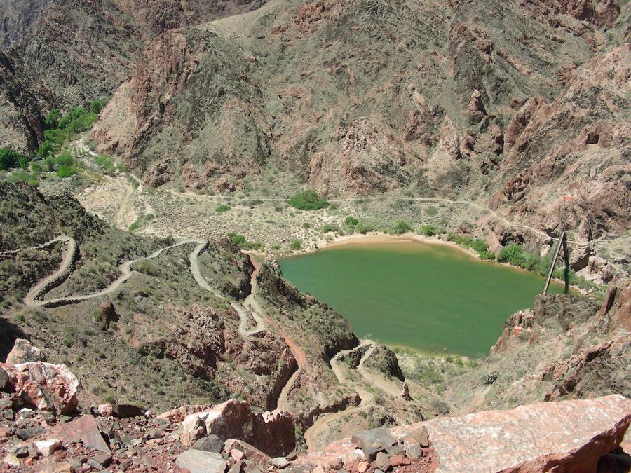
Almost to the Bottom |
This is the last set of switch backs, the foot bridge across the river, and the trail on the far side of the river into Phantom Ranch. |
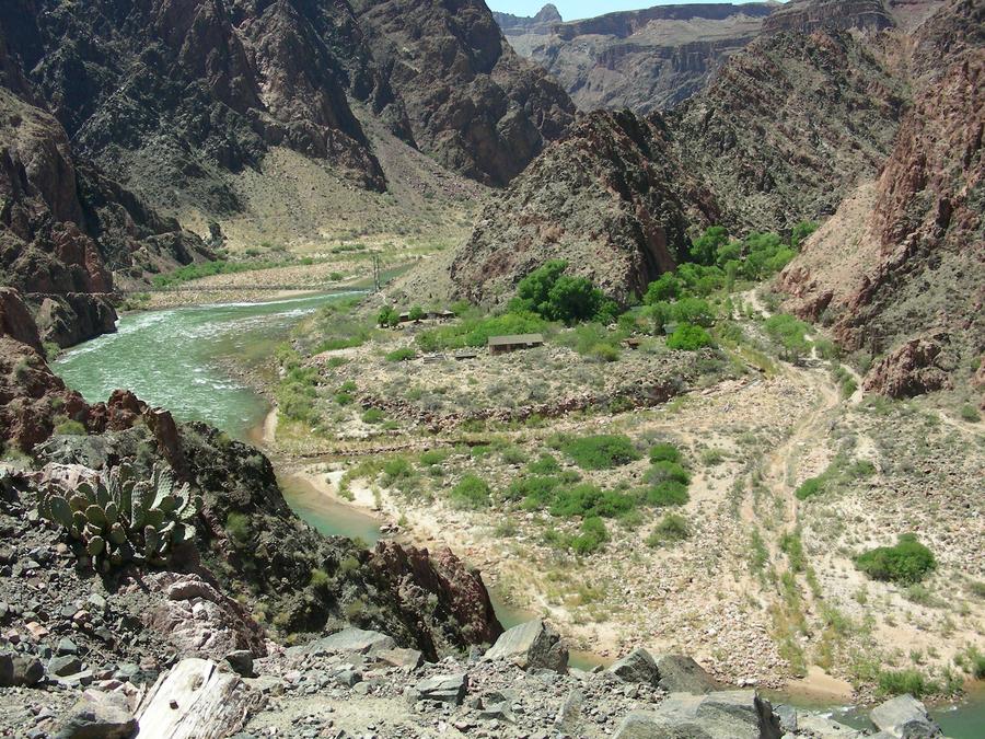
Even Closer to the Bottom |
We are almost at the river, with the trail and opening into the Phantom ranch area on the right. |
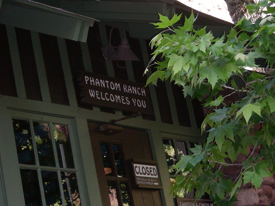
Phantom Ranch |
We made it! We couldn't get lodging or meals at the ranch, but they would sell us lemonade and pretzels at an exorbitant price. Boy, did they taste good. |
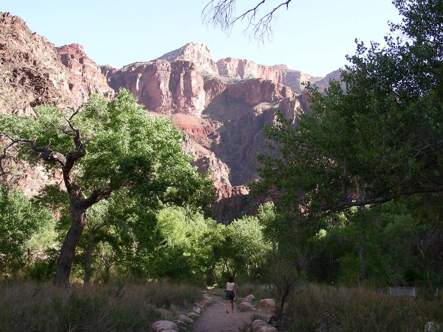
Phantom Ranch Camp Grounds |
This is the trail along the small stream in the camp ground area. |
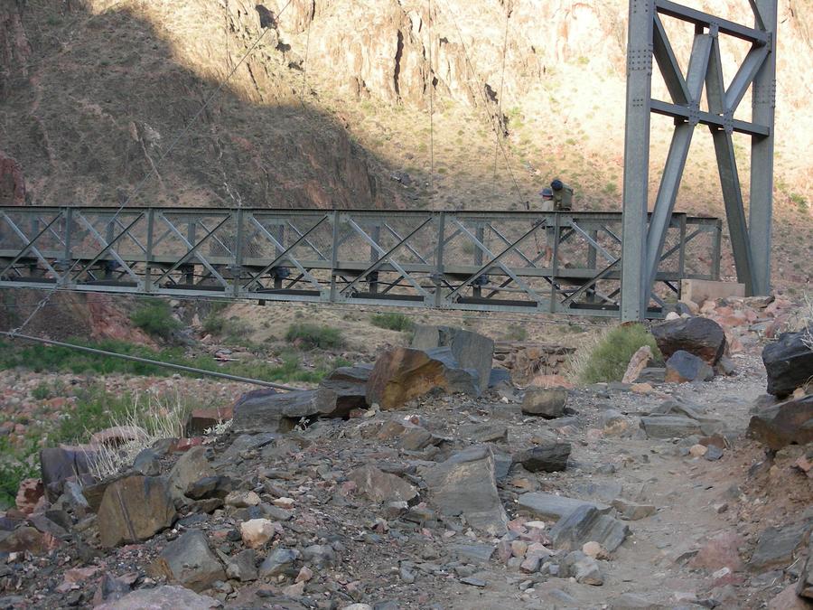
The Ascent |
This is our second day in the canyon and we are starting our 2 day ascent. Len is crossing the river on the foot bridge. |
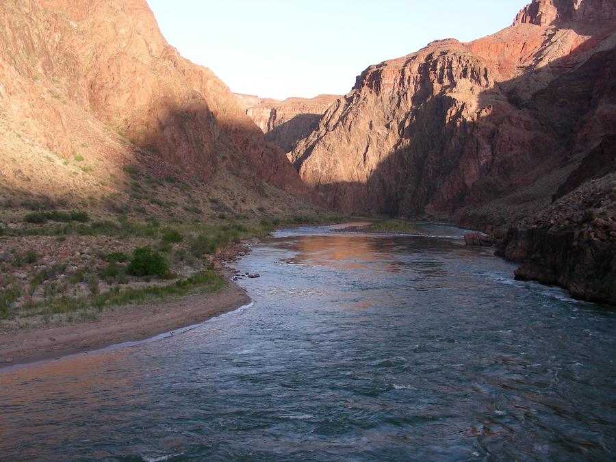
The Colorado |
This a shot of the Colorado from the foot bridge. |
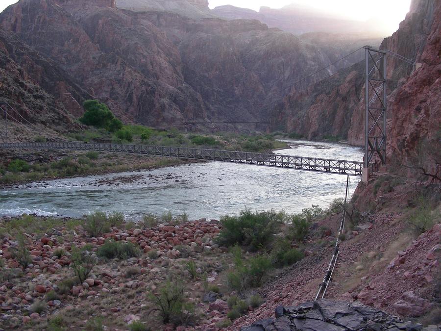
The Ascent |
This is a shot upstream showing the foot bridge we just crossed and further up stream, the bridge we crossed the day before. |
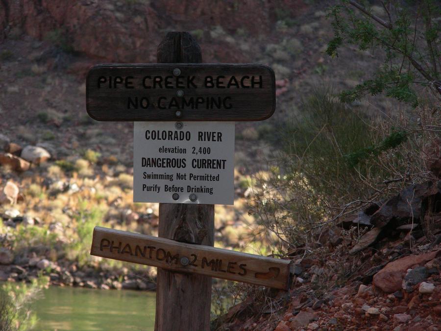
Up the Bright Angle Trail |
We have finished the short trek along the river and have reached the point where the Bright Angle Trail climbs out of the canyon and back to the south rim. |
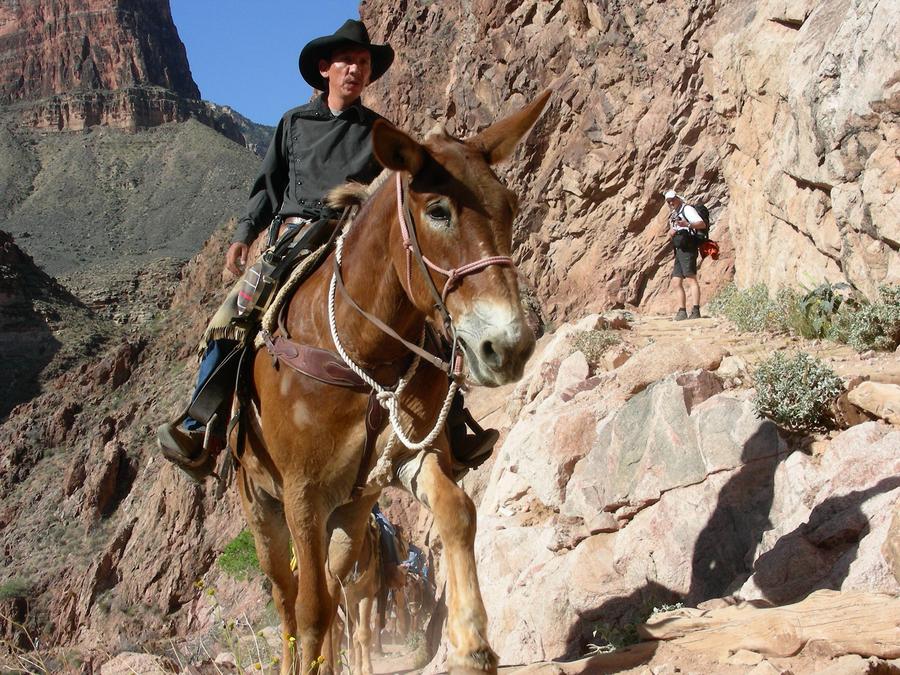
Heavy Traffic |
Another mule train is going up the trail. |
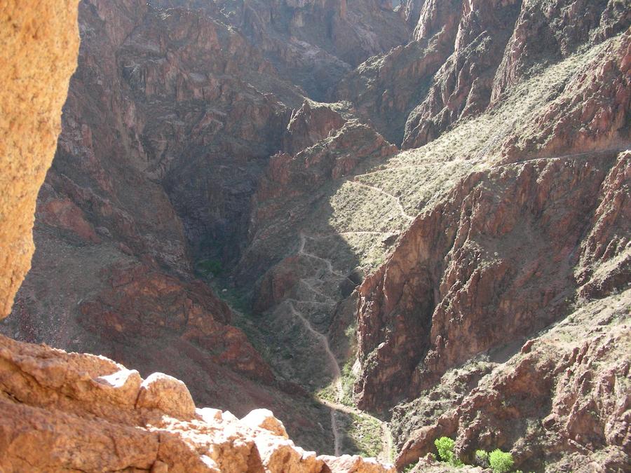
Switch Back City |
This is a shot of the switch back we have just come up. |
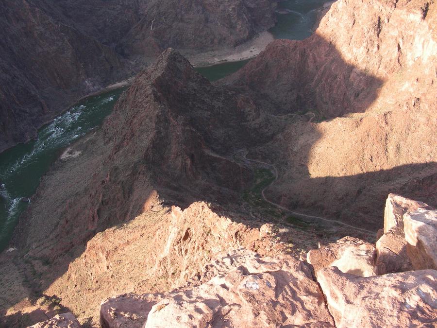
The River |
This is a shot of the trail below the switch back, showing where it starts its ascent from the river. |
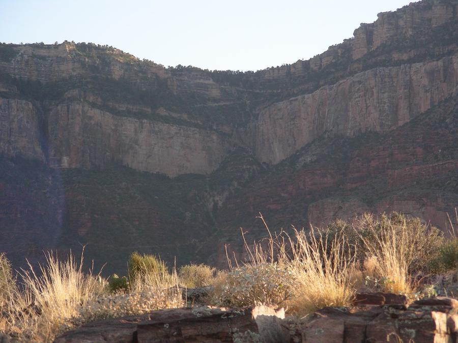
Half Way Up Bright Angle |
We reached the Indian Gardens camp ground about 10 AM and spent the rest of the day reading in the shade. Towards evening we walked out on a plateau overlooking the river. This is a shot of the rest of the trail climbing up to the south rim as seen from the plateau. |
The Rest of the Way |
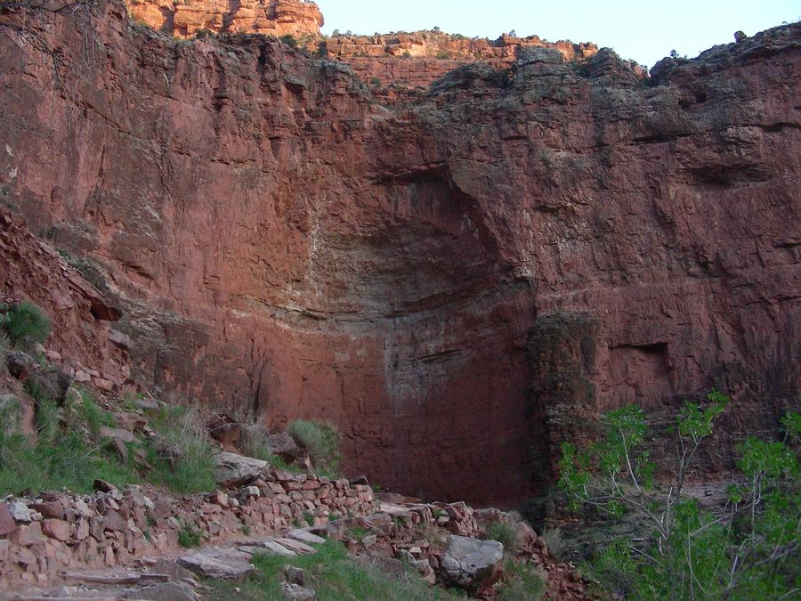
This is our 3rd day in the canyon. We broke camp and were on the trail by 5 am, so that we could complete the hike before it got too hot. This is a shot of a cliff face along the trail. |
Almost Out |
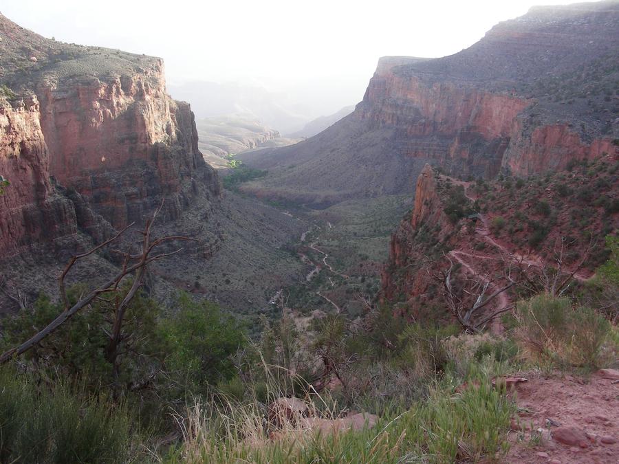
We are almost back to the rim along Bright Angle trail, looking back down the trail we had just come up. We reached the trail head about 10 am, well before the hottest part of the day. |
Indian Ruins |
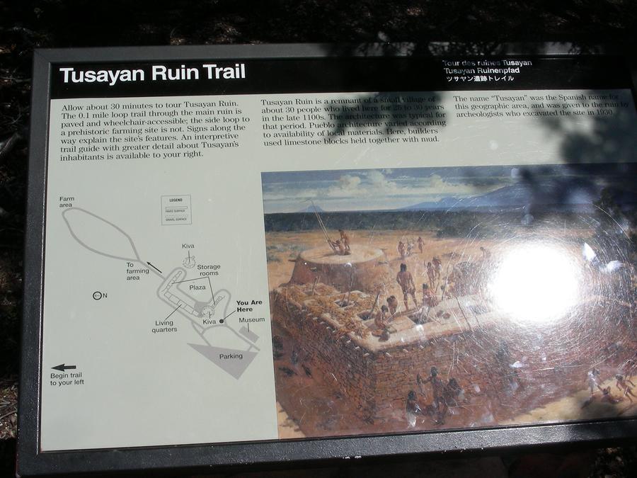
When we got out of the canyon we hit the showers at the park trailer camp ground. We then stopped at an Indian ruin near the canyon rim, on our way out of the park. |
Indian Ruins |
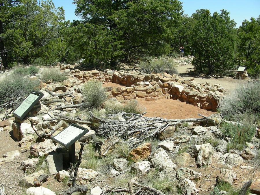
This is a shot of some of the Indian ruins. |
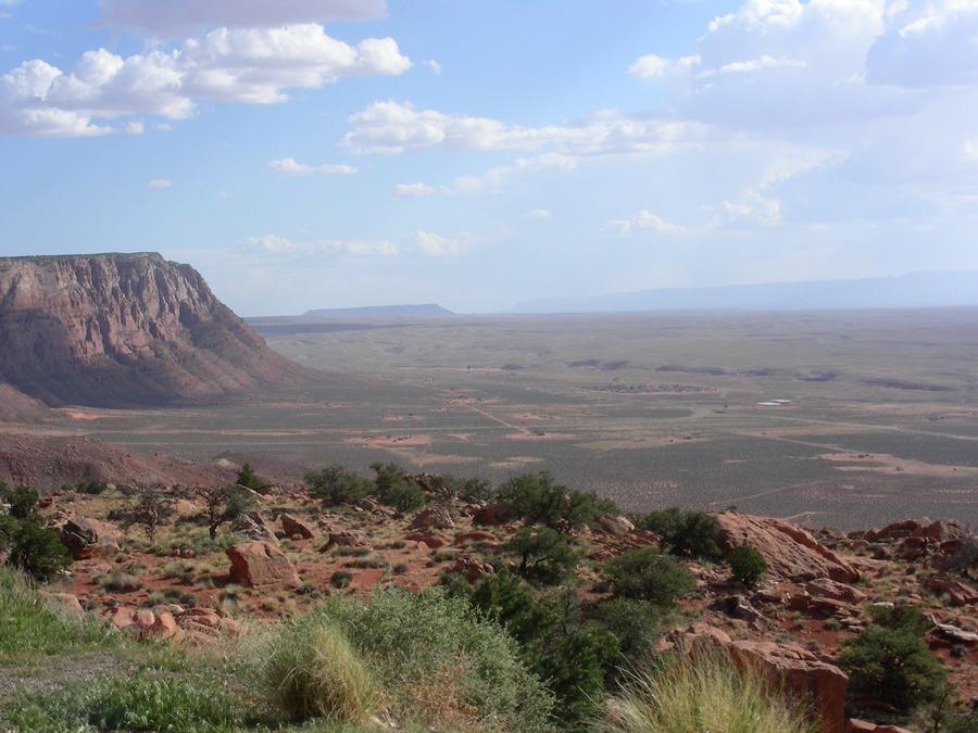
On the Road |
We are on the road between the Grand Canyon and the town of Page, and are paralleling the Colorado River. Here the canyon has opened up to a wide plain. You can see the north rim of the canyon at the far right of the picture. |
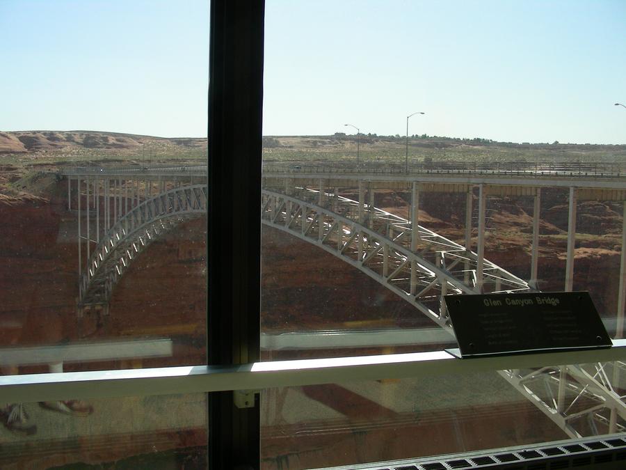
Glen Canyon Bridge |
This is the Glen Canyon Bridge over the Colorado River just downstream of the dam as seen from the tourist center at the dam. |
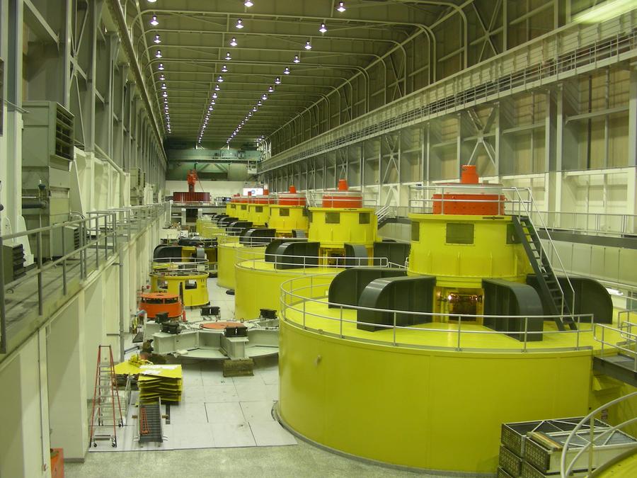
Glen Canyon Dam Power Station |
We took a tour of the dam. This is a shot of the dam turbines. |
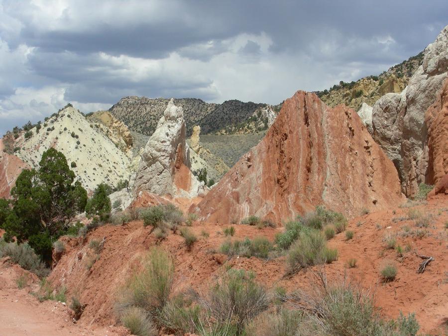
Cotton Wood Canyon |
The woman giving the Glen Canyon Dam tour recommended that we take Cotton Wood Canyon road between Glen Canyon and Bryce Canyon, our next destination. The Cotton Wood Canyon road is a dirt road of about 60 miles, some of which was a little challanging for our rental car. |
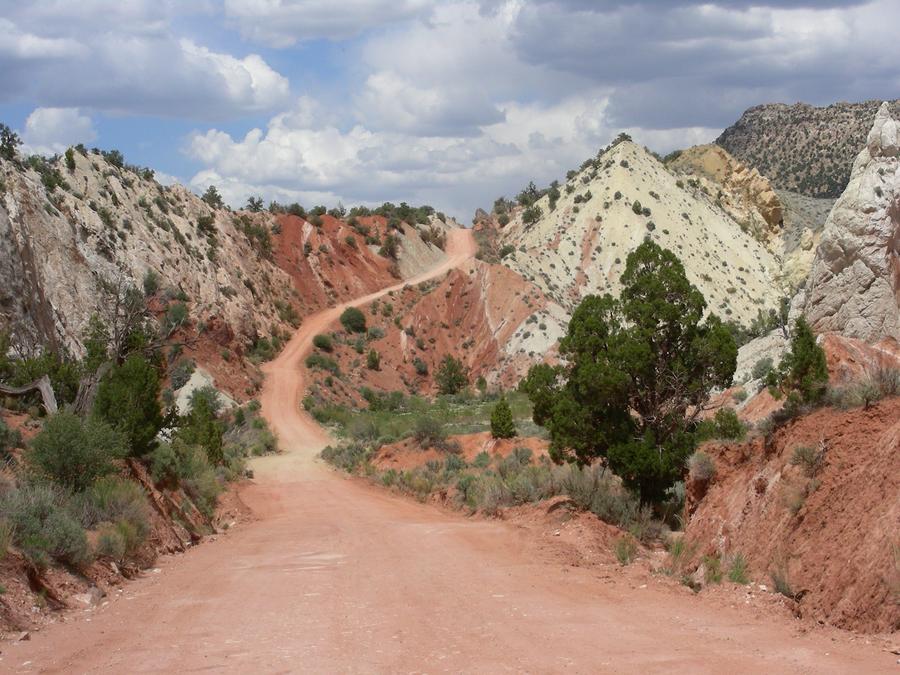
Cotton Wood Canyon Road |
This is a shot of a typical section of the road through the canyon. |
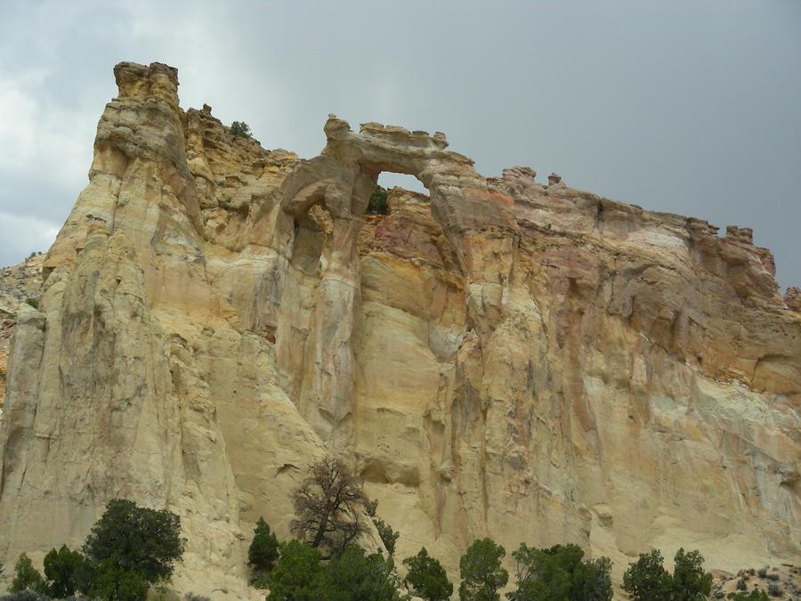
Arch |
This is an arch eroded into the sand stone cliff, just off the Cotton Wood Canyon road. |
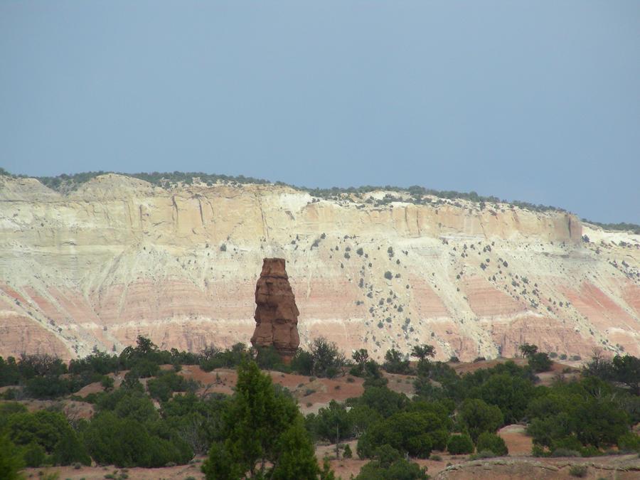
Kodachrome Basin State Park |
Just after getting off the Cotton Wood Canyon road we stopped at the Kodachrome Basin Utah State Park. This is one of the pillar formations that the park is known for. |
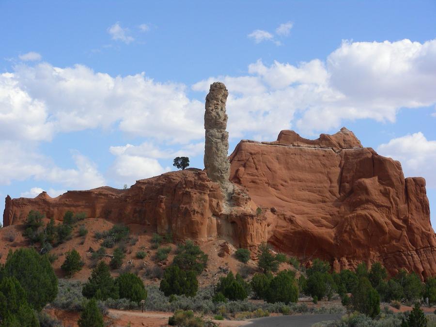
Kodachrome Basin State Park |
This is another formation in the park. |
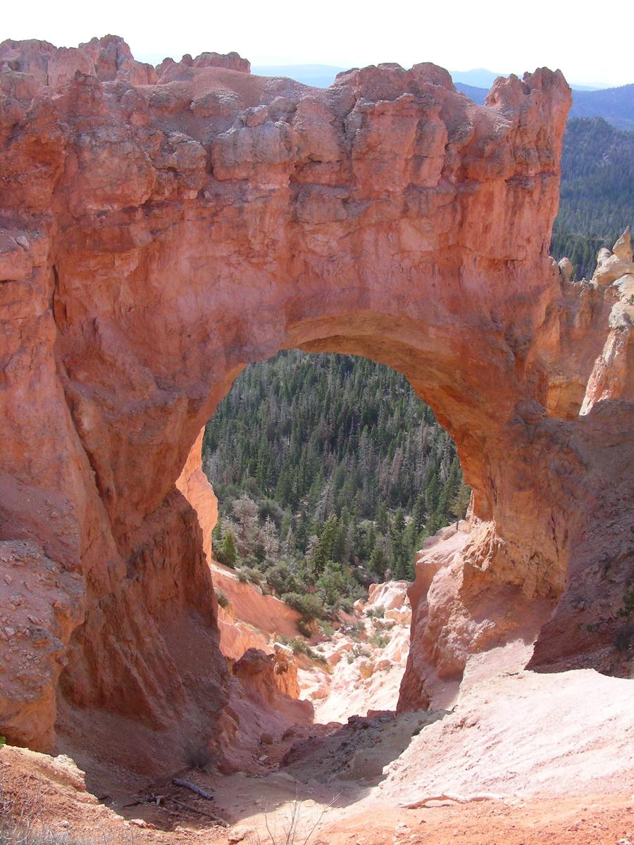
Bryce Canyon |
Bryce Canyon is more a ridge than a canyon. It has some really wild sand stone formations on the side of the ridge. |
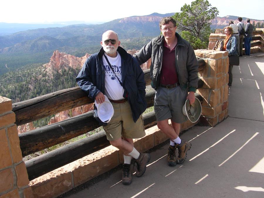
Len and me at Bryce Canyon |
Here we are at Bryce Canyon. |
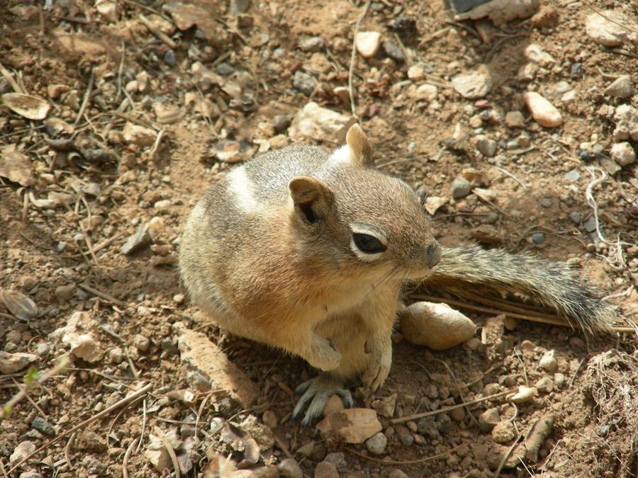
Welcoming Committee |
The park service arranged for a one ground squirrel welcoming committee. |
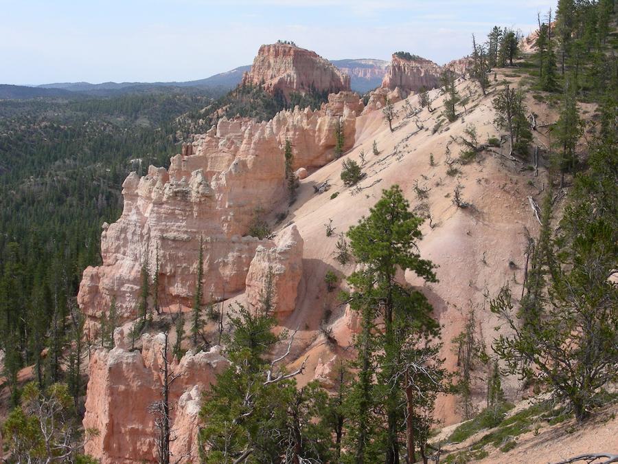
Bryce Canyon |
The park has a road about 6 miles long running along the top of a ridge with pull off areas all the way along. Each pull off has spectacular sand stone formations. |
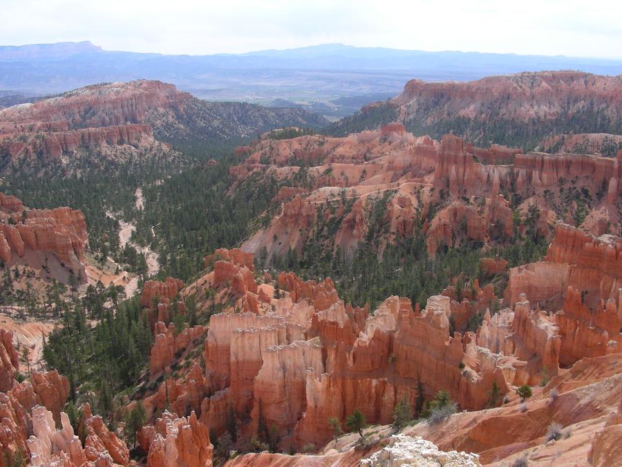
Bryce Canyon |
More formations. |
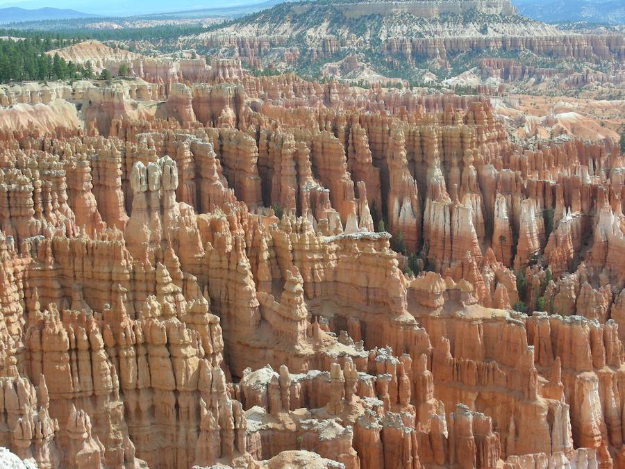
Bryce Canyon |
More formations. |
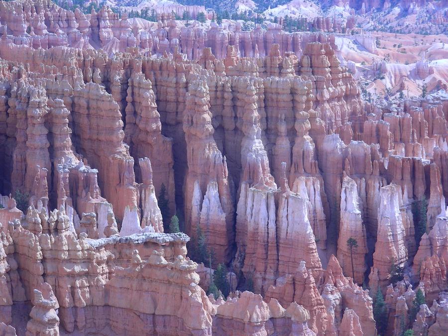
Bryce Canyon |
More formations. |
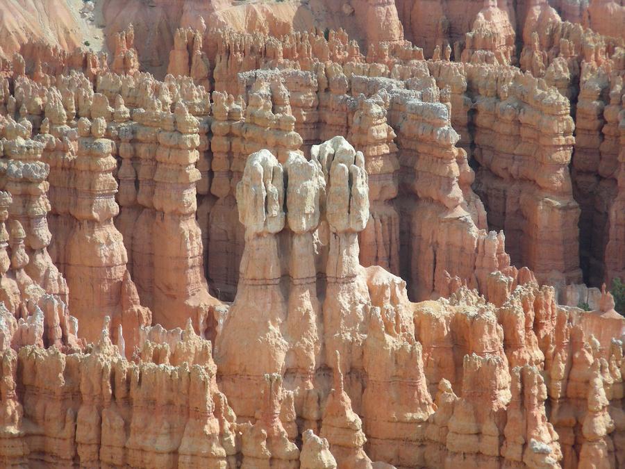
Bryce Canyon |
More formations. |
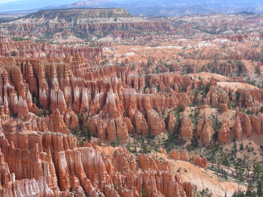
Bryce Canyon |
More formations. |
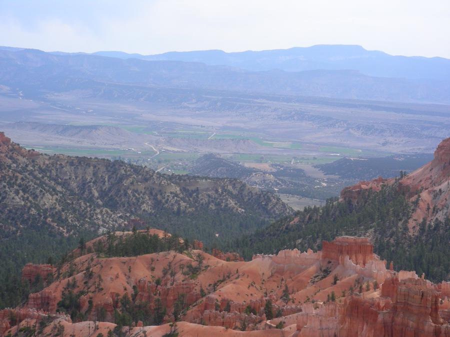
Bryce Canyon |
This is a shot of the formations in the foreground and the valley beyond the park in the background. |
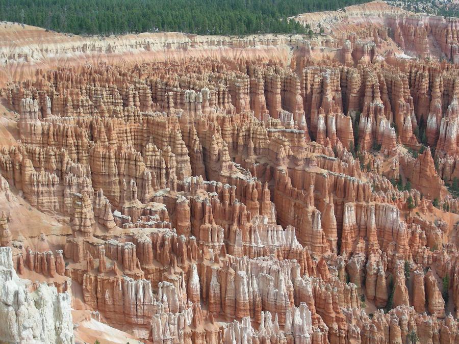
Bryce Canyon |
More formations. |
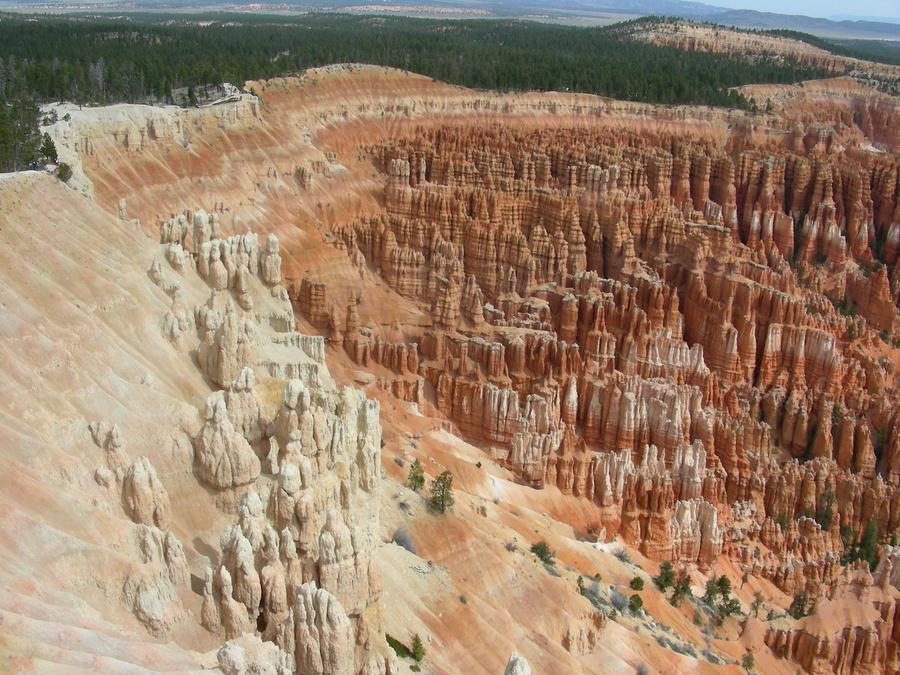
Bryce Canyon |
More formations. |
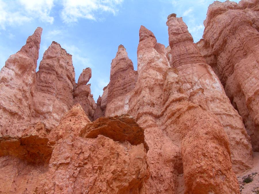
Bryce Canyon |
More formations. |
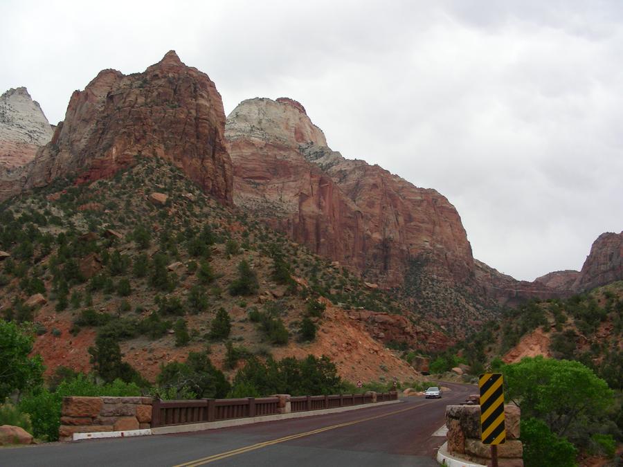
Zion National Park |
Our next distination was Zion National Park. Here we are entering the park from the east side. |
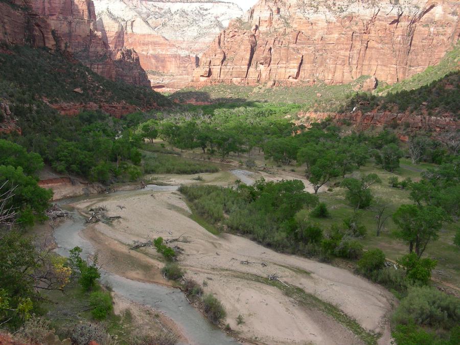
Zion National Park |
The main tourist area of the park consists of a steep, narrow canyon with a small river running through it. |
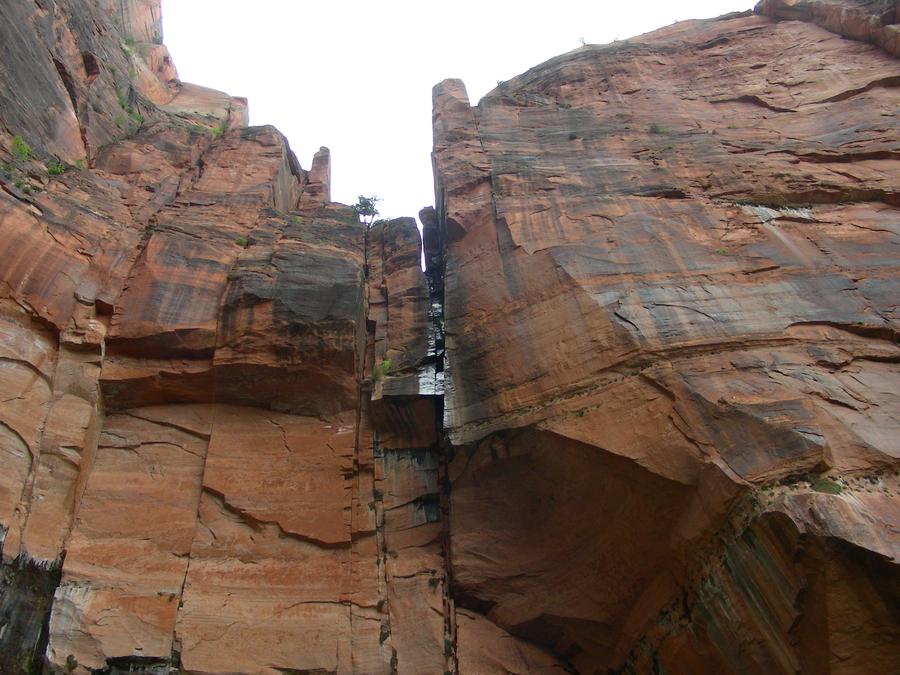
Emerald Pools Trail |
Emerald Pools Trail is a trail up a side canyon off the main canyon with a small stream. The trail ends at this sheer cliff, with the stream forming a small, almost dry water falls. |
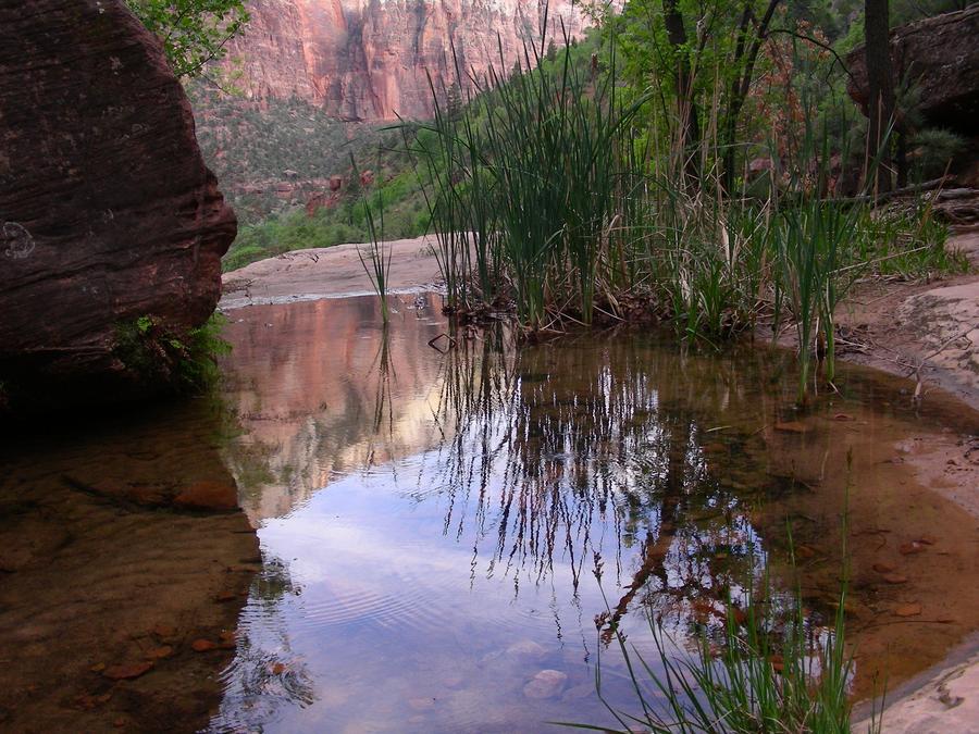
Emerald Pools Trail Pool. |
This is a small pool along the trail. |
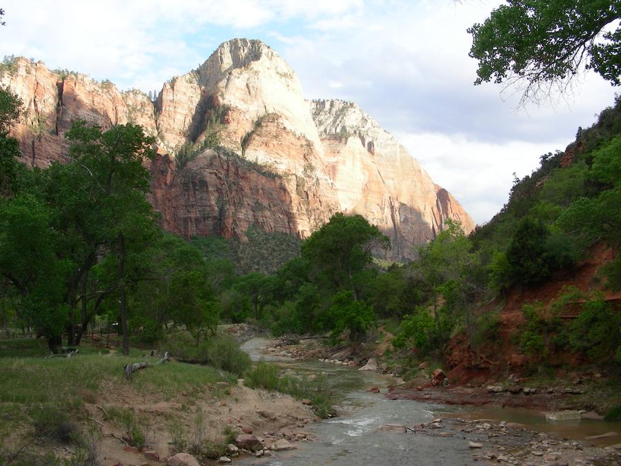
Zion National Park |
This is another shot of the main canyon at the Emerald Pools trail head. |
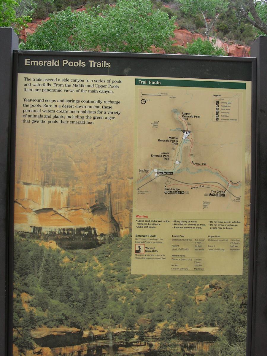
Emerald Pools Trail |
This is the sign marking the trail head. |
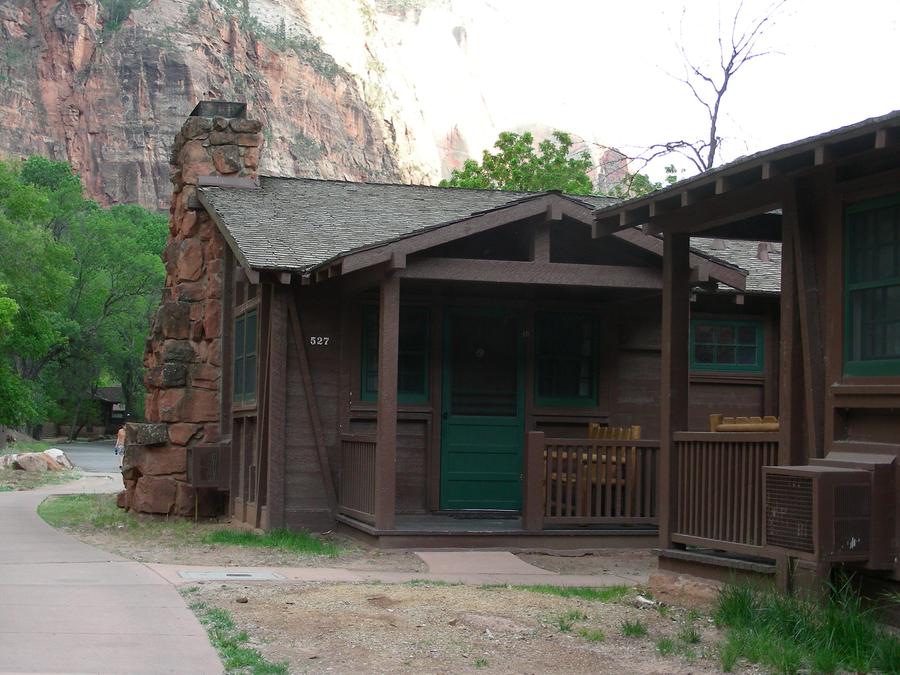
Zion National Park Motel |
There is a single motel sponsored by the park service inside the park, consisting of a main lodge and perhaps 50 cabins. We were lucky enough to get a room here for the night, and this is our cabin. |
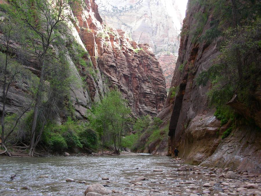
The Narrows |
The road running up the main canyon stops here, where the canyon dramatically narrows. That is probably why it is called "The Narrows". People hike up the canyon from this point by wading in the river, and the drown if a local thunder storm floods the canyon. It sounds like great fun, but we did not have shoes that we could afford to get wet. |
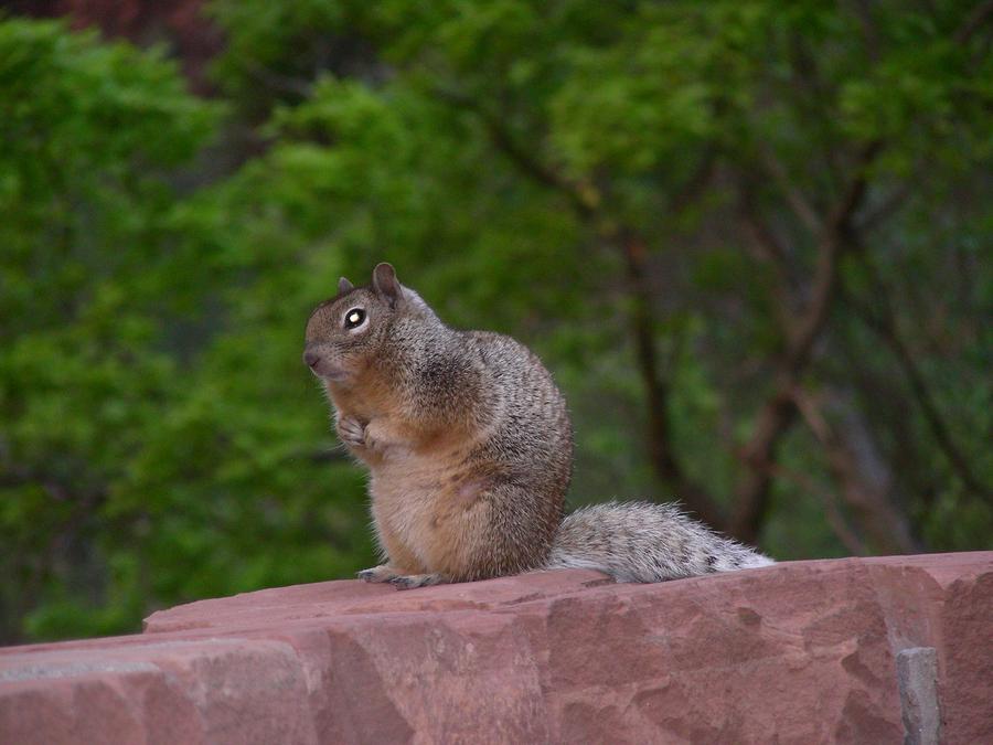
Zion National Park |
This is another of my nature shots. |
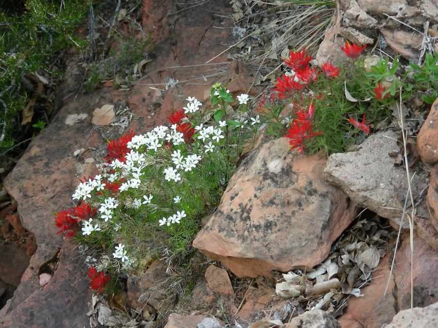
Canyon Side Trail |
On our second day, we hiked part way up a trail that climed out of the main canyon. There were lots of very pretty wild flowers along the trail. This is an example. |
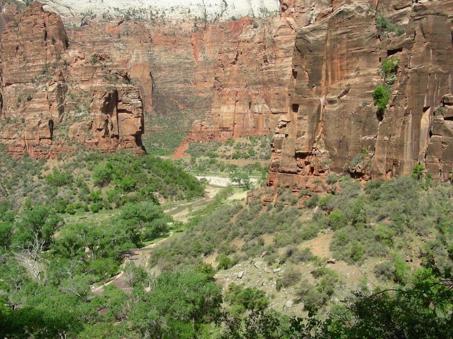
Canyon Side Trail |
This is a shot of the main canyon for the side trail we were on. |
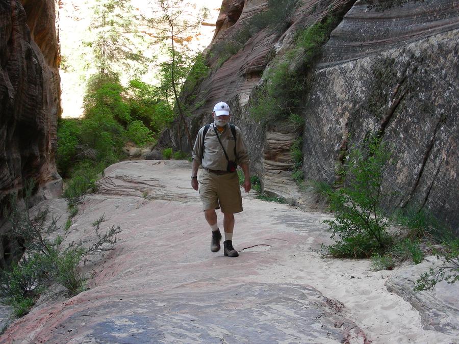
Canyon Side Trail |
This is Len on the trail. |
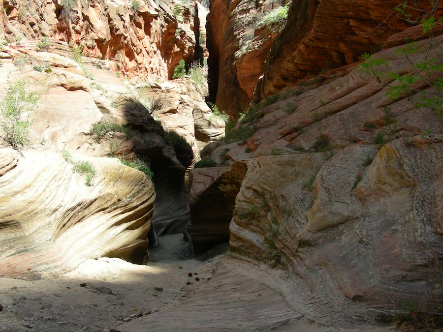
Canyon Side Trail |
This is a narron ravine along the side of the trail. |
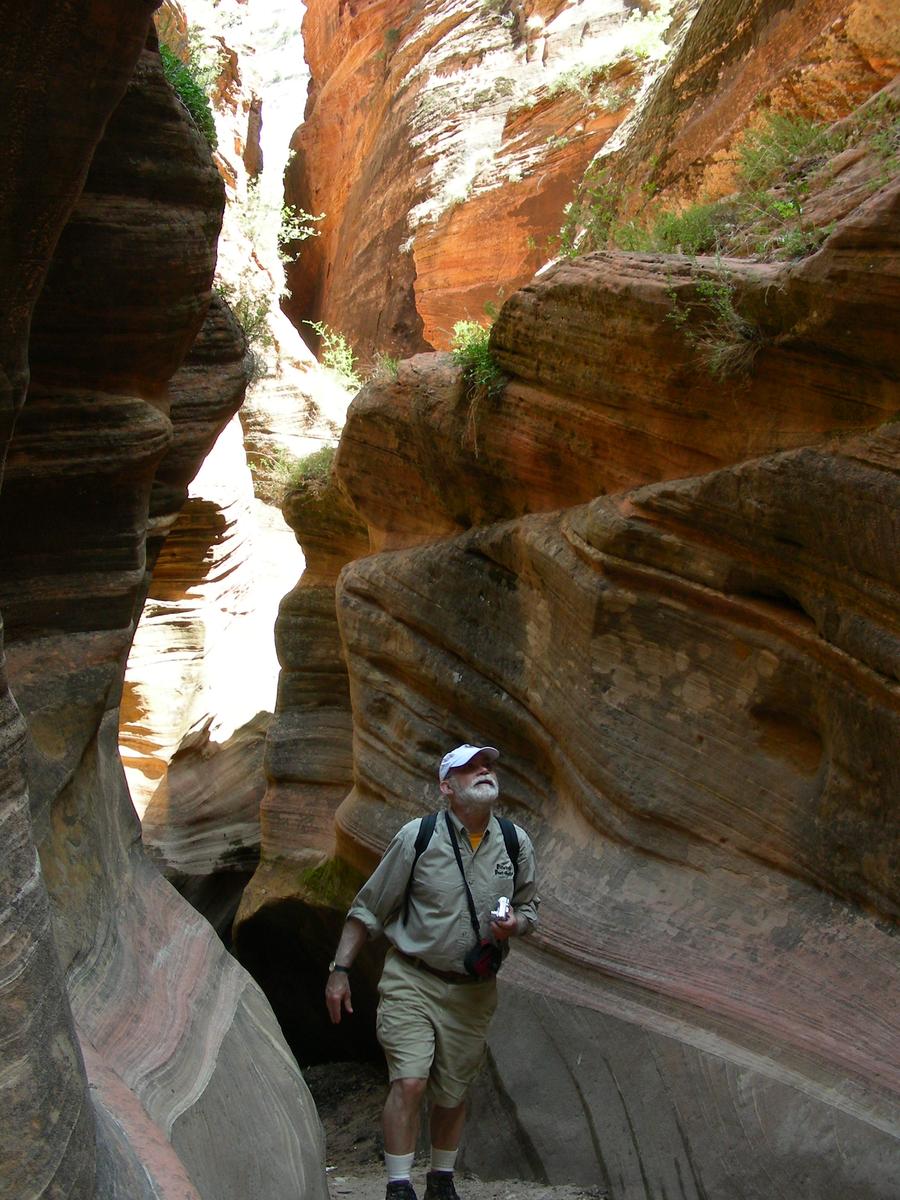
Canyon Side Trail |
Len looks lost. |
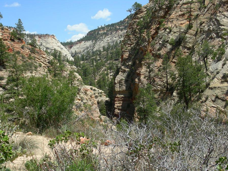
Canyon Side Trail |
This is far as we got on the side trail. It opens up into another canyon above the main canyon. |
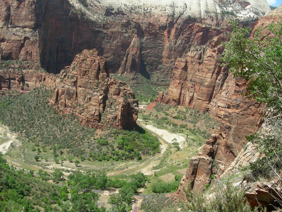
Canyon Side Trail |
This is another shot of the main canyon on our way back on the side trail. |
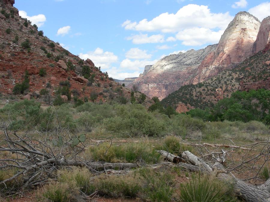
Zion National Park |
We are out of the main canyon on our way out of the west side of the park. This is a shot from behind the visitor's center. |
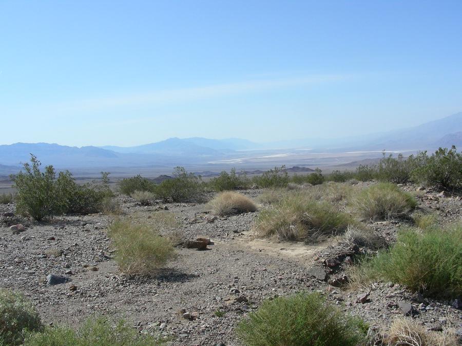
Death Valley |
We spent the next night in Las Vegas but couldn't find anything worth taking a picture of. The next day we went through Death Valley. This is a shot as we enter Death Valley. |
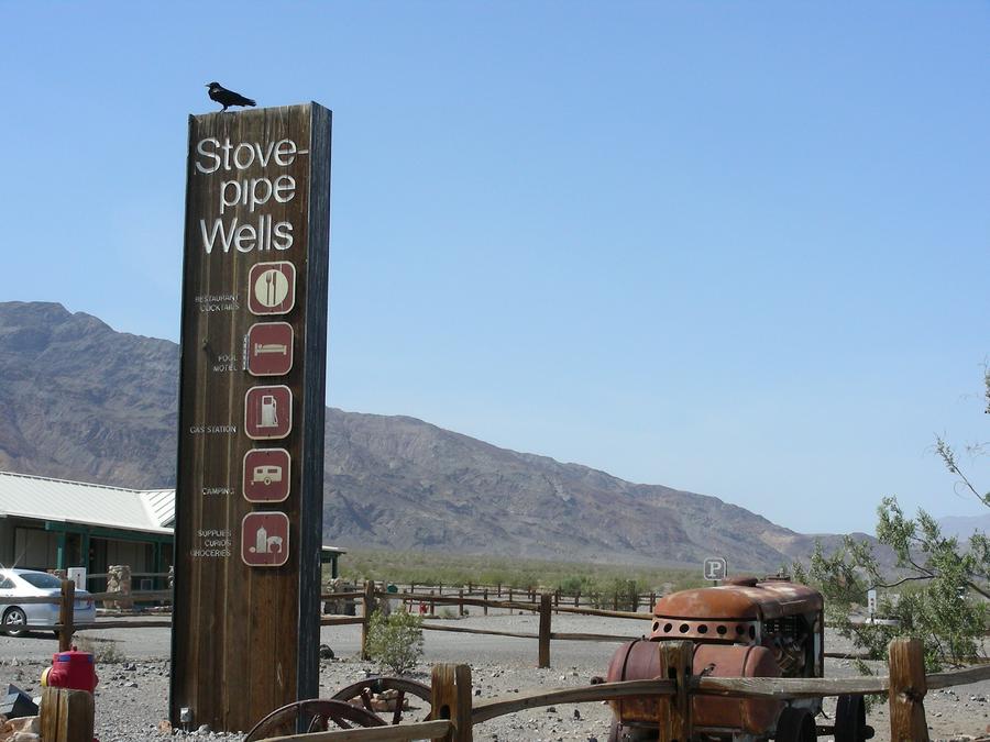
Death Valley |
Stovepipe Wells is has a small motel and grocery store. |
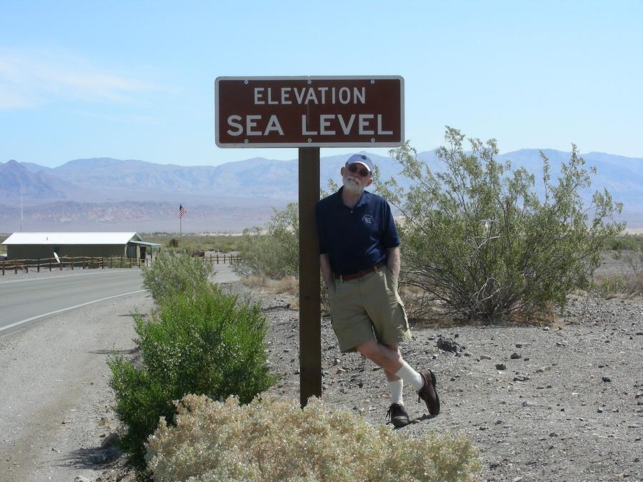
Death Valley |
Here Len is standing at sea level and trying to figure out where the ocean is. |
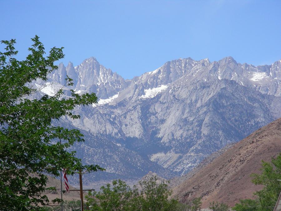
God's Country |
On the California side of Death Valley are the Sierras, my favorite spot in the world. |
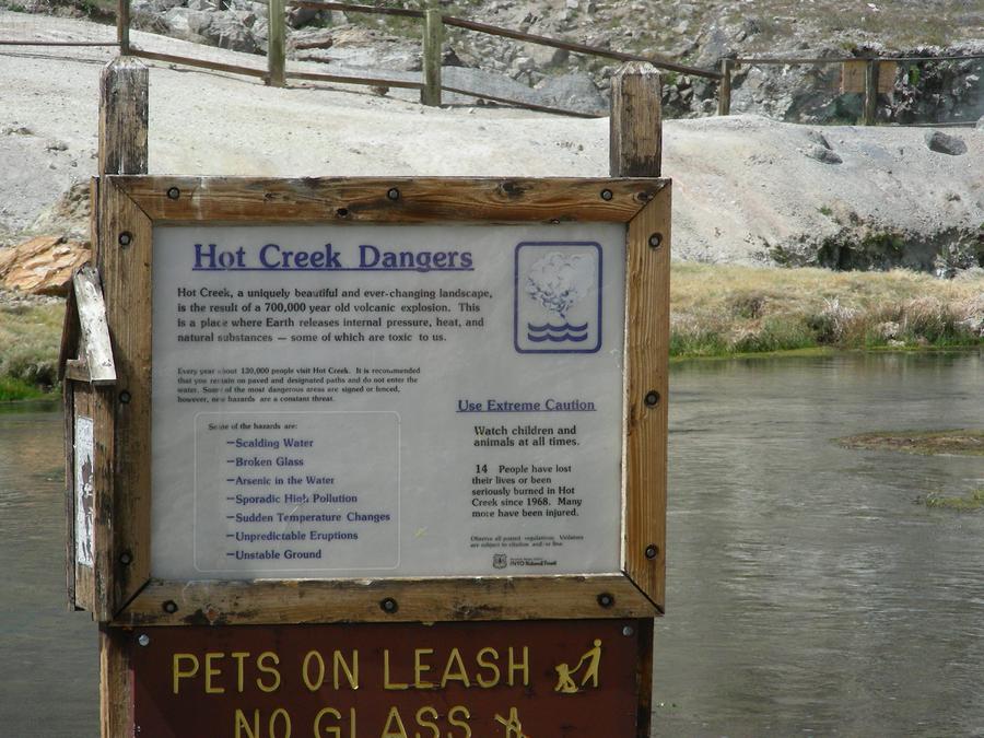
Owens Valley Hot Springs |
These hot springs are located just outside of Mammoth, a popular ski area. |
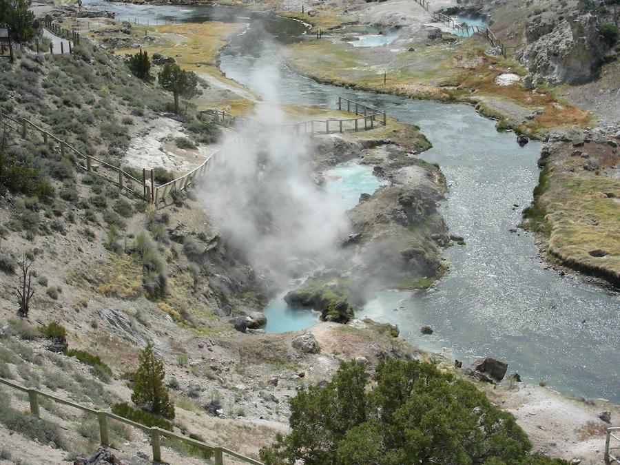
Owens Valley Hot Springs |
This is another shot of the hot springs, and the last picture on a great trip. |

Go To Top