Walking Trip Across Northern England
In about 100 AD, the Roman Emperor, Hadrian, ordered a wall to be built across
the northern part of England close to what is now the Scotland border. The
wall extended for 80 miles, from sea to sea. In 2003 the Hadrian's Wall Path
National Trail was established along the path of the wall.
In 2009 my friend, Len, and I did a walking trip along Hadrian's wall.
We met up in Len's home town, Pittsburgh. I flew into Pittsburgh on May 18 and
spent 2 days there, with Len showing me the sights.
We then left early on May 20, had a plane change in Amsterdam, and arrived in
Newcastle in the mid morning.
We started our walk the next day, and completed it 7 days later on May 27.
The walking trip was for 7 days:
- day 1 - Newcastle to Wylam
- day 2 - Wylam to Chollerford ( staying in Humshaugh )
- day 3 - Chollerford to Once Brewed
- day 4 - Once Brewed to Gilsland
- day 5 - Gilsland to Walton
- day 6 - Walton to Carlisle
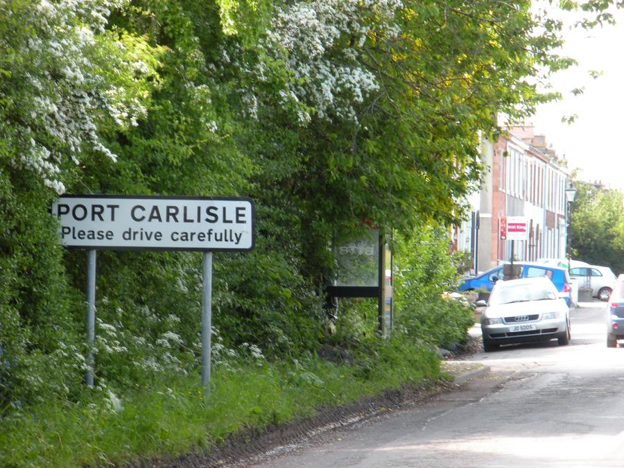
- day 7 - Carlisle to Bowness on Solway ( staying in Port Carlisle )
We then took the bus back to Carlisle, spent a day there, took the train to York, with a train change in Newcastle, spent 2 days in York, took the train to Durham, spent a day there, and finally took the train back to Newcastle and spent 2 days there.
We flew back to Pittsburgh on June 4, and the next day I flew back to California.
Len did a segment on the trip for his paper viewable here. He also wrote up the following article:
ALONG THE HADRIAN'S WALL TRAIL
From Wallsend, known as Segedunum to the Romans, to Bowness-on-Solway -- the route of Hadrian's Wall -- is about 84 miles. The walking path mostly parallels topography chosen by Roman soldiers, who, starting in A.D. 122 built a wall across the northern border of what became England.
The Emperor Hadrian had ordered the wall's construction. Almost 1,900 years later, long sections of it remain, although much restored and much reduced in height.
Cities and villages
The east-west route passes through the centers of two major cities, Newcastle and Carlisle, and through dozens of villages, each one prettier than the last. Much of the route leads walkers through green pastures, occupied by curious horses, indifferent sheep and occasionally hostile cattle. Those fields, some farmed for two millennia, most often are separated by stone fences.
As a result, following Hadrian's Wall Path requires climbing the steps of a hundred stiles and passing through scores of triangular "kissing gates." Both ancient traffic-control devices are designed to allow pedestrians to walk between fields but keep animals from wandering off.
The presence of so much livestock makes it critical for walkers to keep a close eye on where they place their feet. Cow pies and sheep dung were as ubiquitous along much of the wall as goose droppings are in Allegheny County's North Park.
We made our hike in late May, and locals told us the weather could not have been better in northern England. While prevailing winds sweep in from the west all year round -- which meant we were always walking into a headwind -- skies were at least partially sunny six out of seven days. Spring flowers, including yellow gorse and buttercups, wild roses, bluebells and white cow parsley, lined much of the path. Cottage gardens were bright with late daffodils, tulips, lilacs and awnings of purple wisteria.
While there was little rain, the combination of morning temperatures in the high 40s and brisk winds meant we needed gloves, sweaters and stocking caps some days.
The wall was built across the narrowest portion of England, dividing Roman Britannia from the wild north country occupied by the ancestors of the modern-day Scots. Most historians agree that the wall was not designed to stop full-scale invasion, but to discourage raiding parties and control north-south trade and immigration.
Both at Wallsend, near the North Sea, and at Bowness, near the Irish Sea, the countryside is mostly flat. That makes for very easy walking.
Little evidence of the wall remains at either end. Its laboriously cut stones were hauled away centuries ago and reused in churches, castles and houses. In many places the only remaining indication of the wall's construction is the vallum, a wide ditch dug parallel to the wall.
The middle sections of the Hadrian's Wall Path, however, run for mile after mile across rolling hills. The more isolated the area, the more original stonework remains.
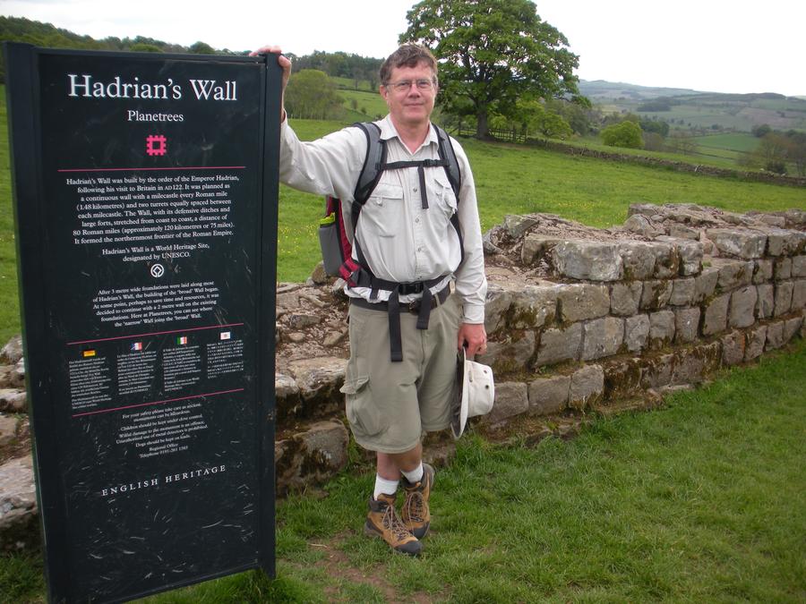
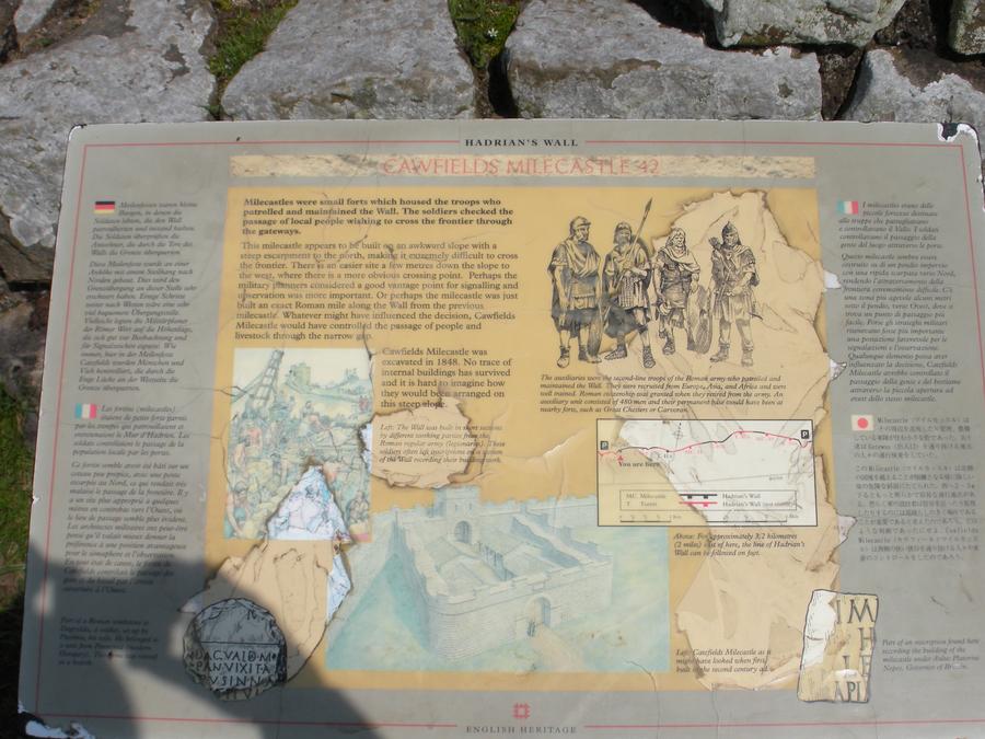
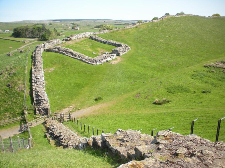
Originally six to 10 feet wide and as much as 18 feet high, Hadrian's Wall was one of the Roman Empire's greatest engineering feats. Along its length walkers can see the ruins of small temples, the foundations of observation turrets and the remains of multi-room "milecastles." Near or along the wall are the ruins of several large fortresses that housed Roman garrisons of as many as 1,000 soldiers.
Several of those fortresses are open to visitors. Our average pace of 12 miles a day gave us sufficient time to visit several of the best preserved, including Housesteads and Birdoswald.
And in a region where farm families live in cottages built centuries before the oldest structures in Pittsburgh, each mile along the Hadrian's Wall Path also offers looks at other eras of English history.
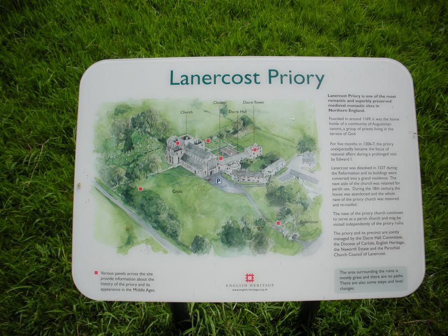
The remains of Lanercost Priory are about a half-mile south of the wall. Its construction dates to 1165, when Hadrian's Wall already had passed its 1,000th birthday. The priory -- home to a religious order -- began its descent into picturesque ruin in 1538, after Henry VIII ordered the dissolution of Roman Catholic monasteries. Only a portion of the complex has retained its roof and still is used as an Anglican parish church.
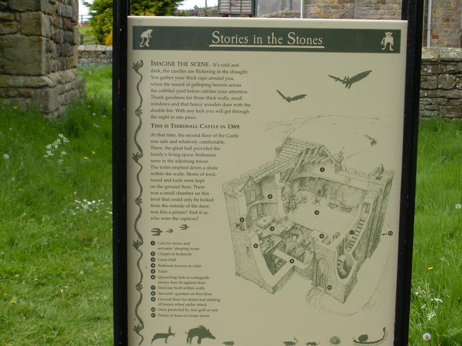
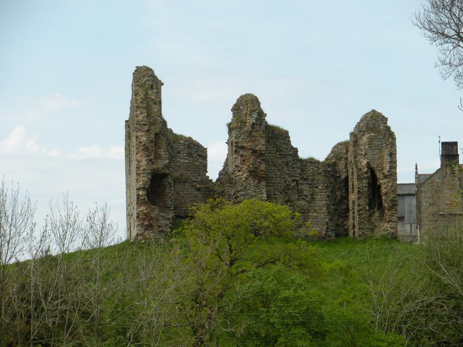
Just a few miles east, right on the route of the Roman wall, is Thirlwall Castle. Built in part with stone taken from Hadrian's Wall, Thirlwall survived as a fortified house until the 18th century.
The ruined building has a link to Richard III, the hunchbacked villain who, in Shakespeare's play, arranged the murder of his young nephews. Sir Percival Thirlwall, a supporter of King Richard, was killed along with his sovereign at the Battle of Bosworth Field in 1485. On the cliffs
For several tiring miles, the remains of the wall stretch across the tops of 100-foot-tall cliffs, or crags. The views from there, north to Scotland and south toward the Lake District, must have made the Roman soldiers -- and make modern-day visitors like us -- feel like kings of the world.
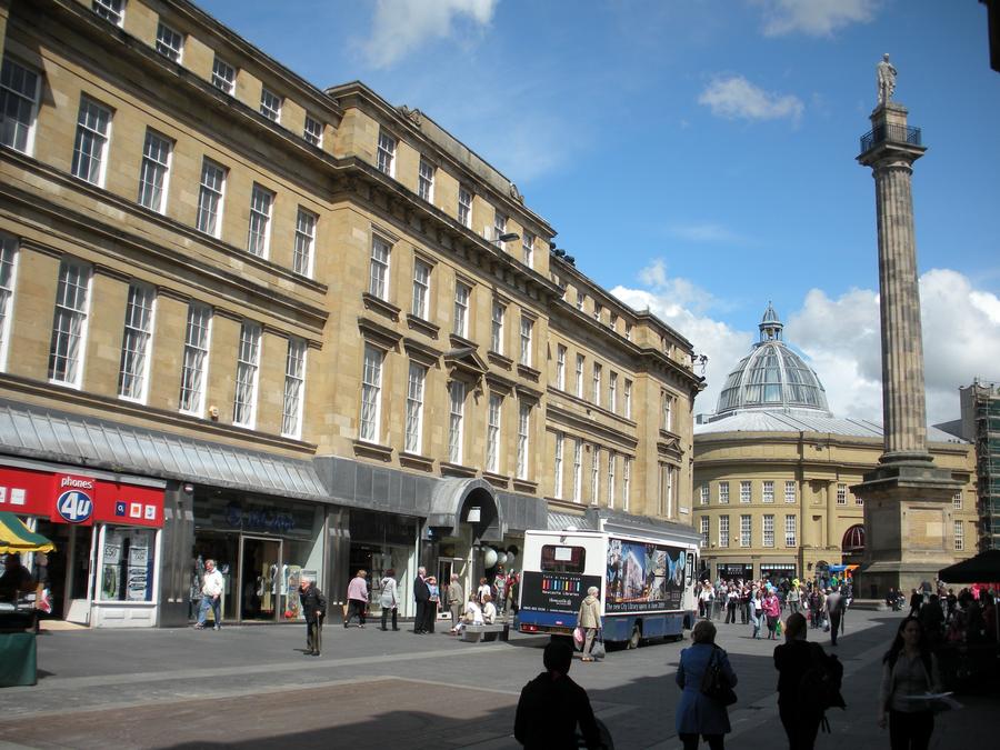
Newcastle On Tyne |
We arrived in Newcastle on May 20 and took the commuter train from the airport to the Hotel Dene. We then spent the rest of the day wandering around down town. |
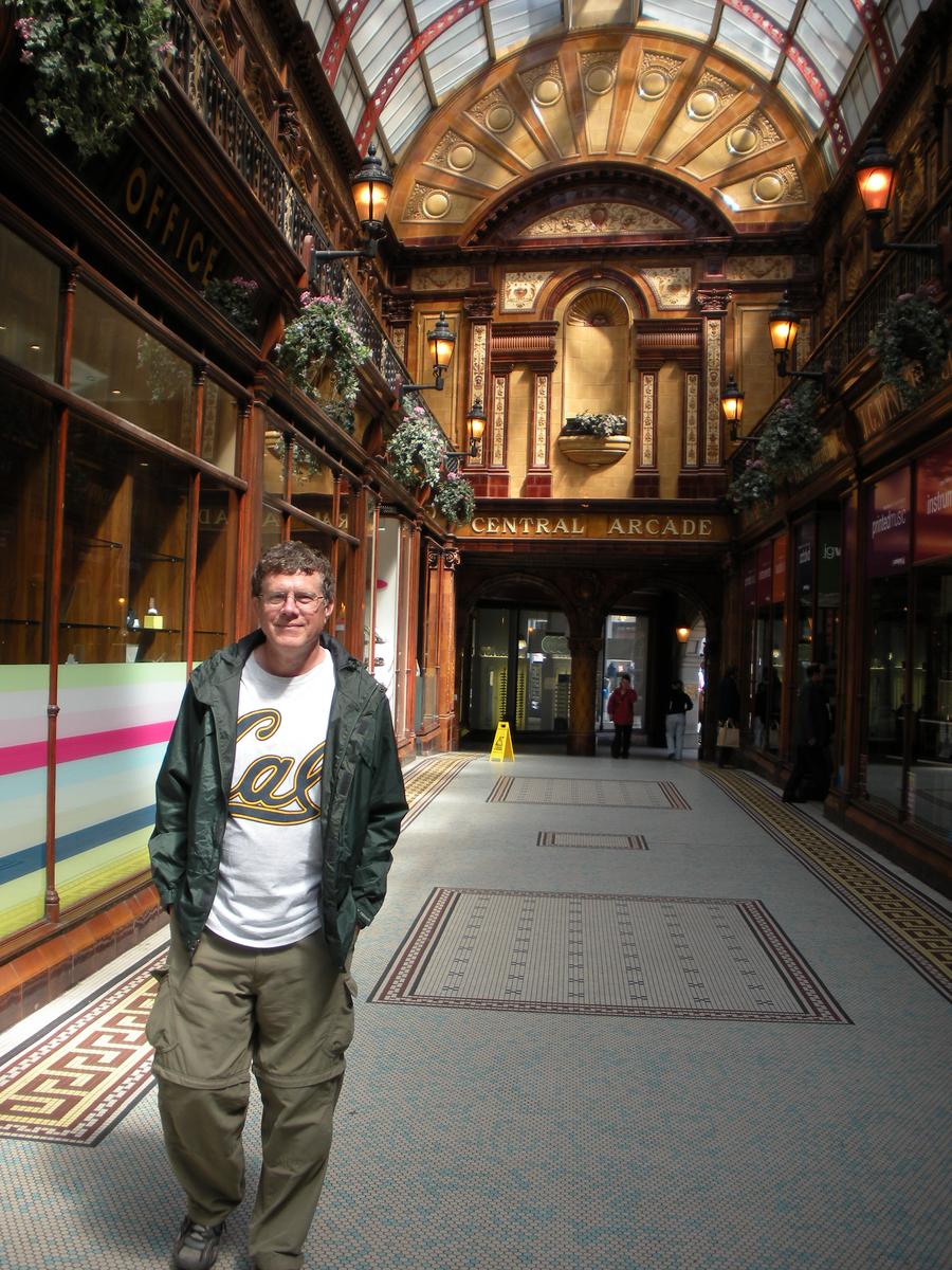
Newcastle On Tyne |
|
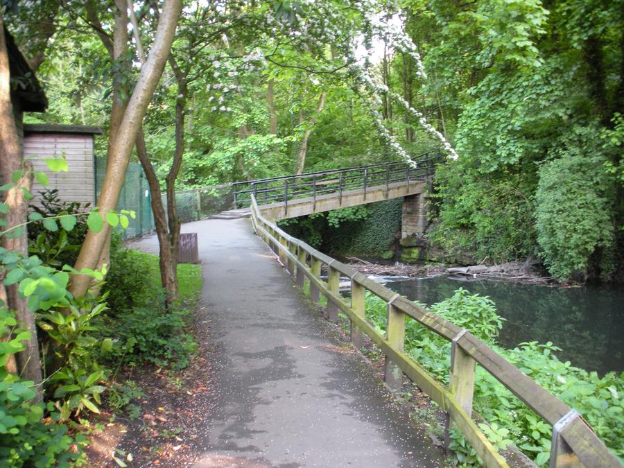
Dene Park in Newcastle |
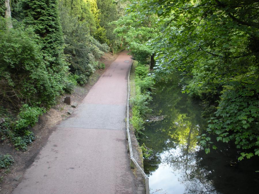
We got back to the hotel in late afternoon. I found a fairly extensive park near the hotel and wandered around it in the early evening. |
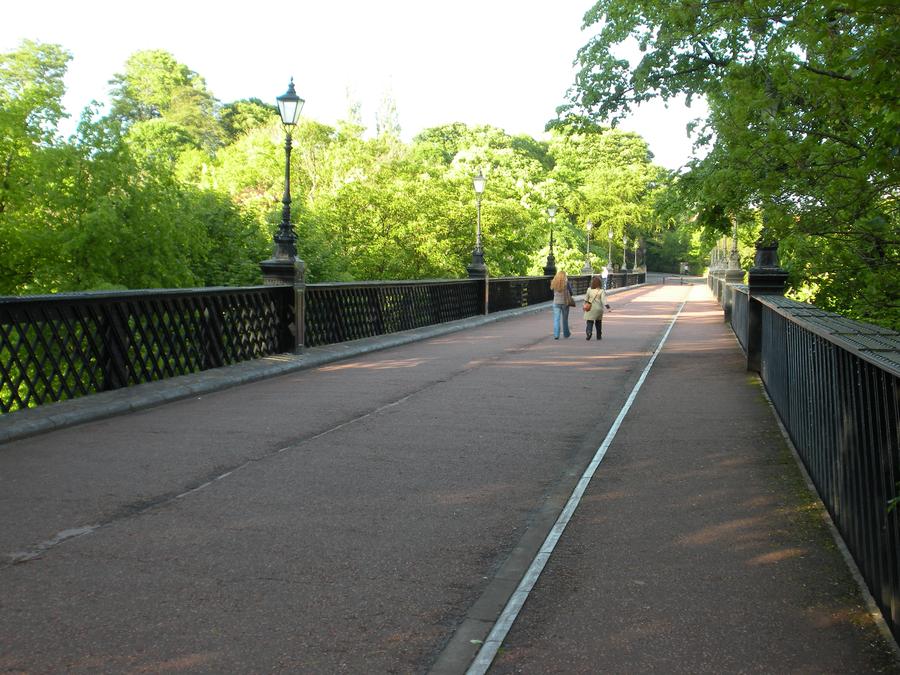
Dene Park in Newcastle |
|
Dene Park in Newcastle |
|
First Day of Walking |
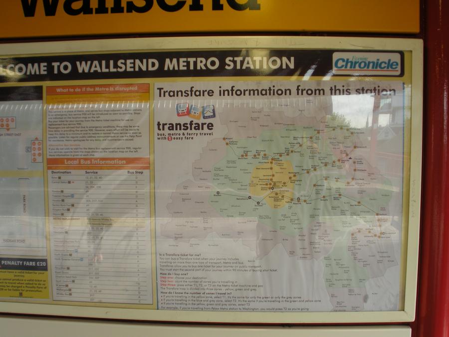
The next morning we took the commuter train to the start of our walk at the Walls End station on the eastern side of Newcastle. |
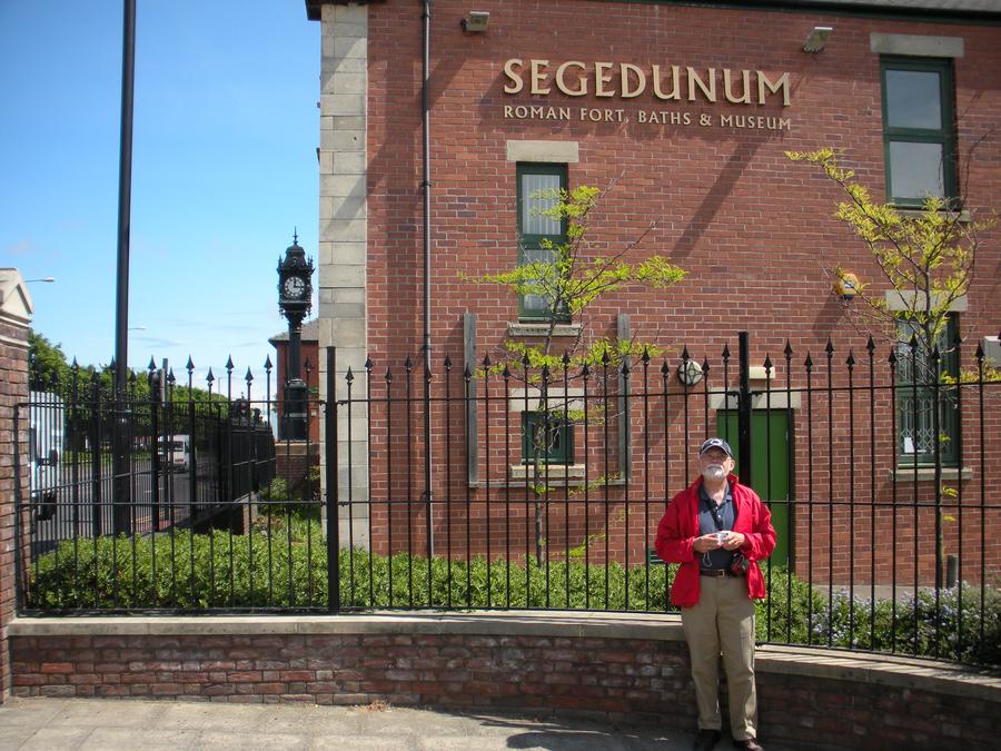
Segedunum at Beginning of Walk |
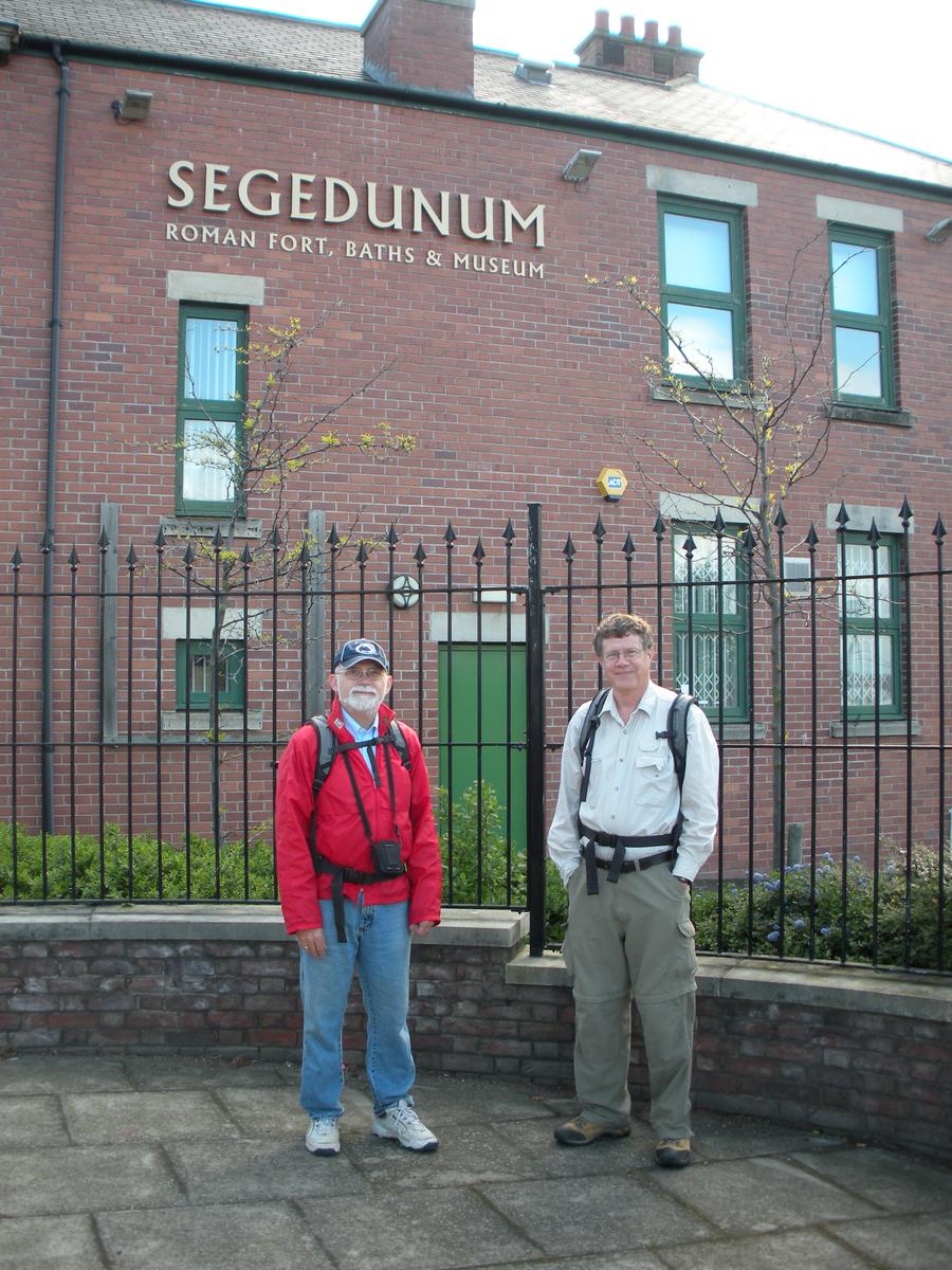
The Romans built forts along the wall. Segedunum was a fort at the start of the wall on its eastern end. Here we are at the Segedunum museum, about to begin our walk. |
First Day of Walking |
|
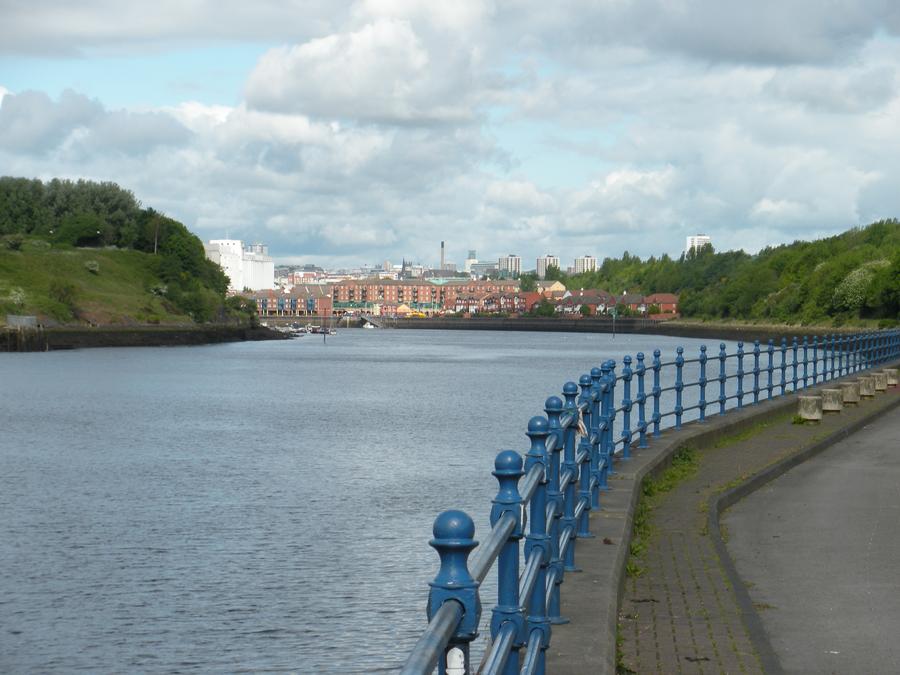
Approaching Downtown Newcastle |
We are approaching downtown from the East. |
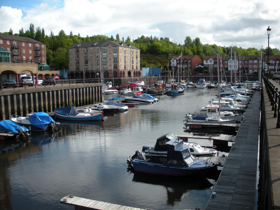
First Day of Walking |
This is a small marina in Newcastle. |
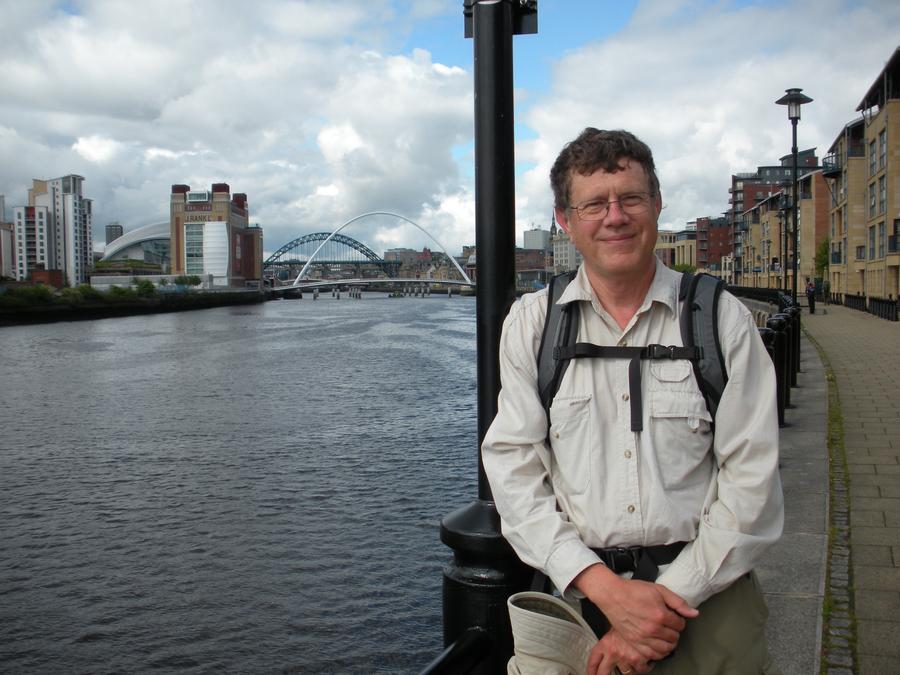
Downtown Newcastle |
|
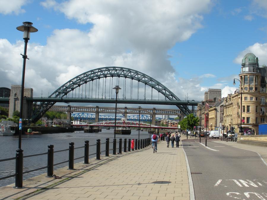
Downtown Newcastle |
|
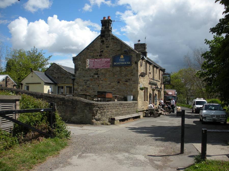
First Day of Walking |
We've passed through Newcastle and are walking through the country side next to the Tyne. This is the first of many small pubs that we will see. |
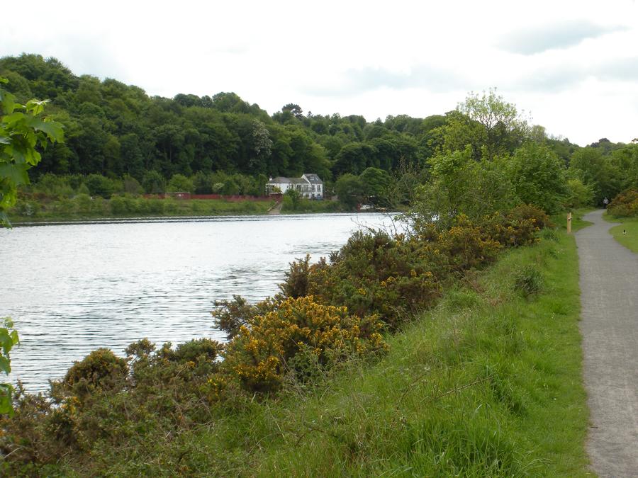
Along the Tyne |
|
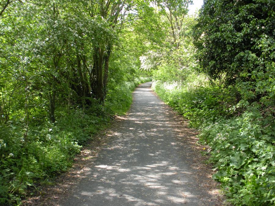
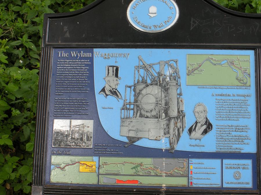
Wylam Wagon Way |
This is a path offset from the Tyne. It was originally the route of one of the first steam train lines. |
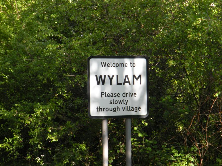
Entering Wylam |
The first day was supposed to end at Heddon On The Wall, but we couldn't get a room there. We stayed in Wylam, which required about a mile detour. |
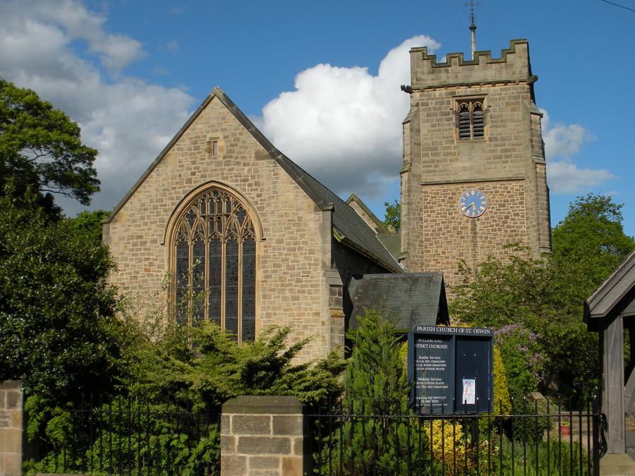
Wylam Church |
|
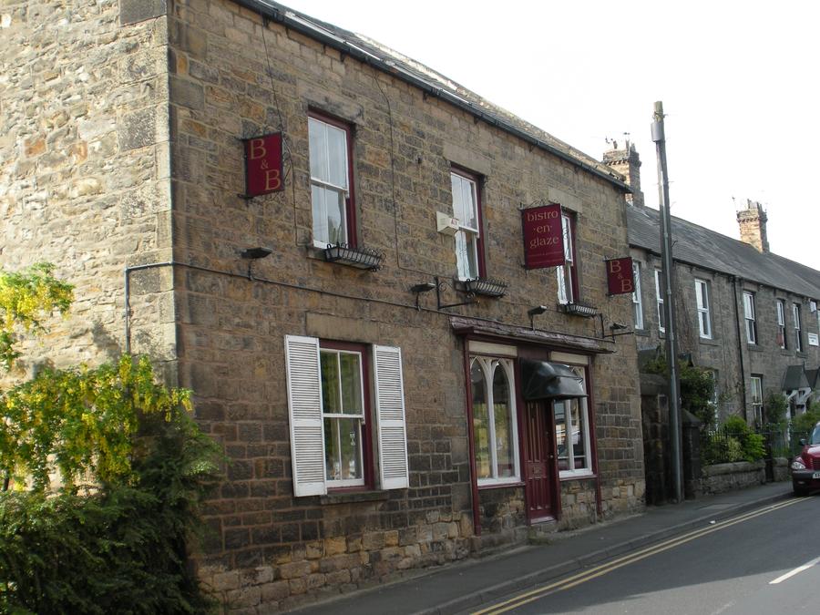
Lodging in Wylam |
This is a small restaurant with bed and breakfast rooms upstairs. Our room was on the upper right. |
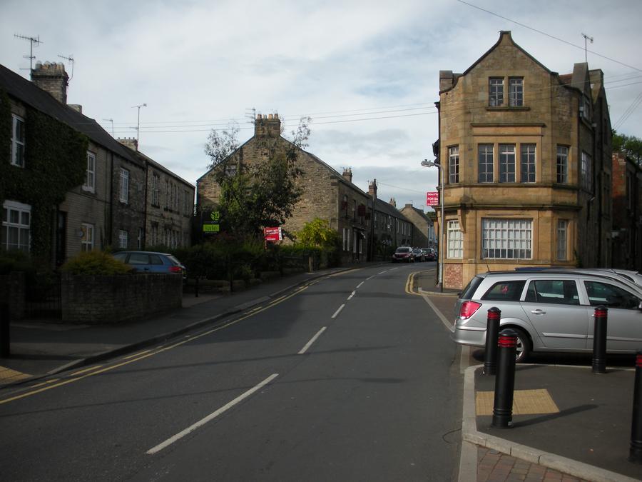
Downtown Wylam |
This is the main drag in Wylam. Our bed and breakfast is at the upper left. |
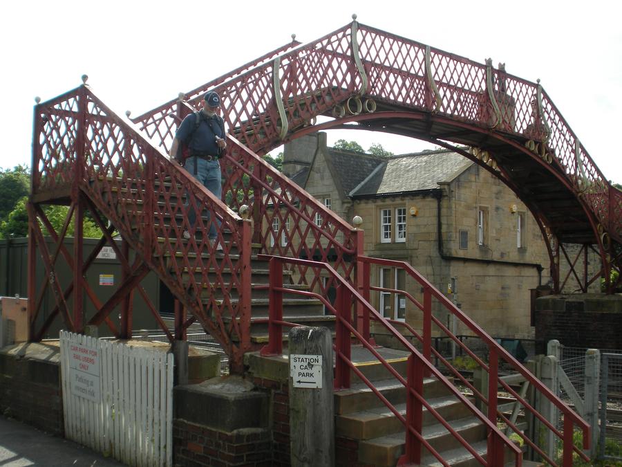
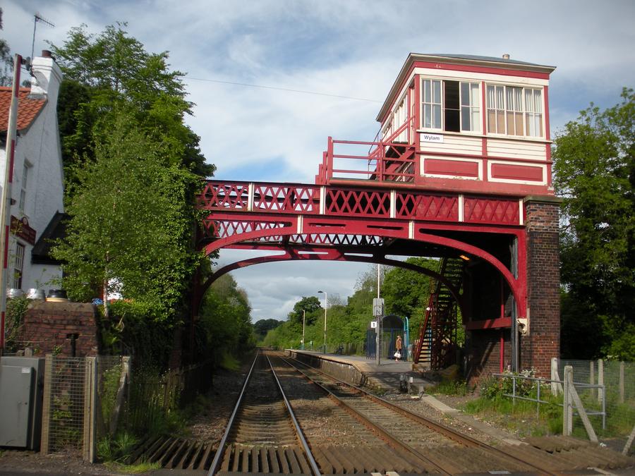
Wylam Train Station |
Wylam is to the South of the Tyne and slightly up hill. The train station is just across the river. After we got situated in our room, we walked down the the station. |
Wylam Train Station |
|
Second Day of Walking |
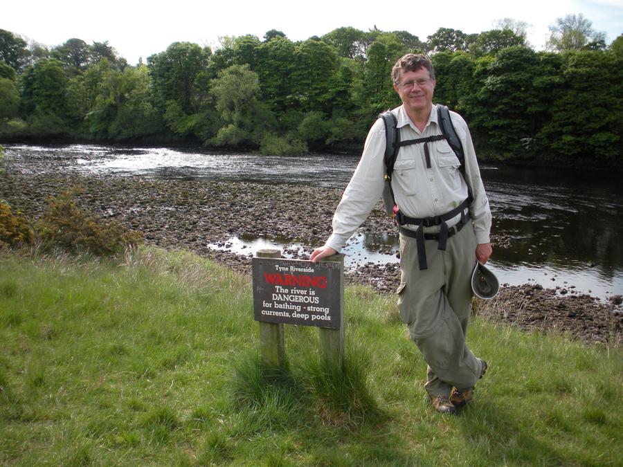
We started out our second day of walking by coming down the hill in Wylam and then following a path along the Tyne. |
George Stephenson House |
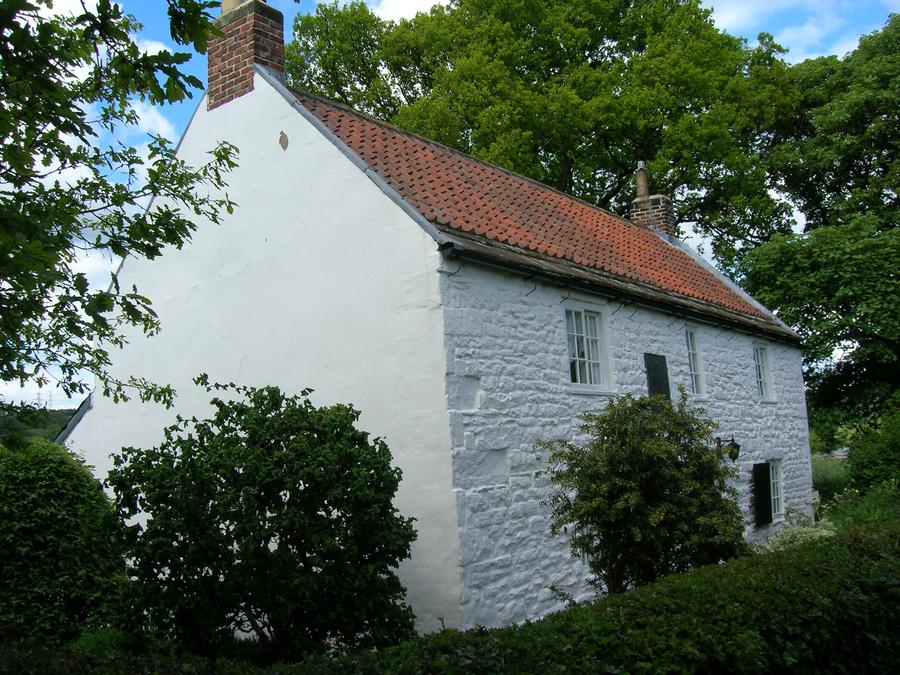
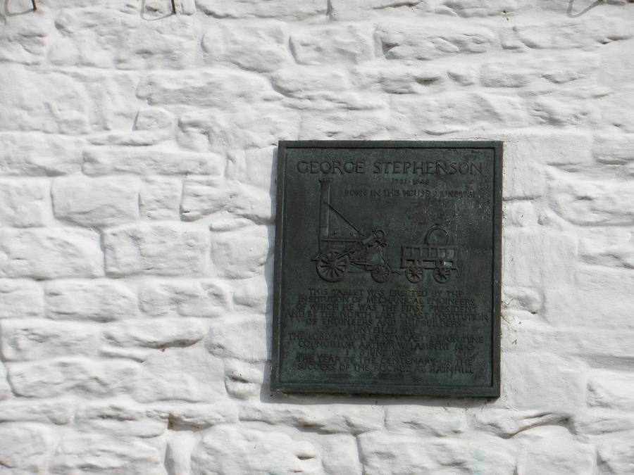
We are backtracking along the Wylam Waggonway to the point where we left the Hadrian's Wall path the previous day. This was the home of George Stephenson, builder of the first steam engine. It is now a museum, and we stopped in briefly. |
Second Day of Walking |
|
Second Day of Walking |
|
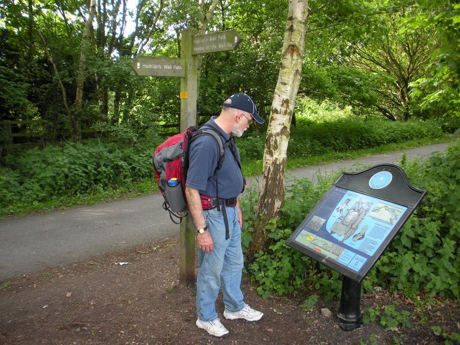
Back to the Trail |
We are back to the Hadrian's Wall trail. |
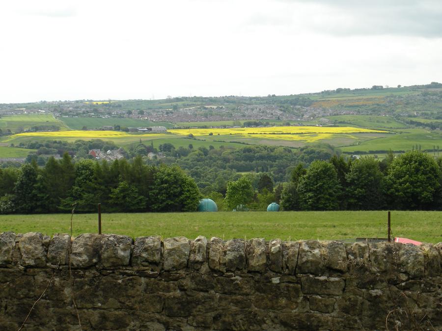
Second Day of Walking |
The trail climbs out of the Tyne River valley. |
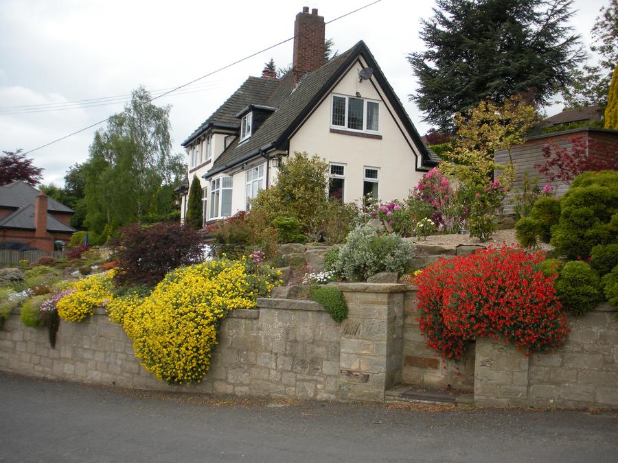
Heddon On The Wall |
We've reached Heddon On The Wall. This is one of many small gardens we saw here. |
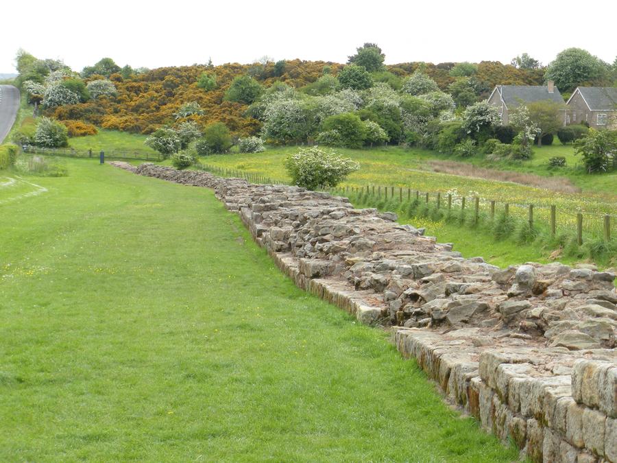
The Wall in Heddon |
Most of the wall that existed above ground was removed over the centuries to be used for building materials. Most of the wall that you now see has been reconstructed. This section in Heddon is claimed to have had fairly little reconstruction. |
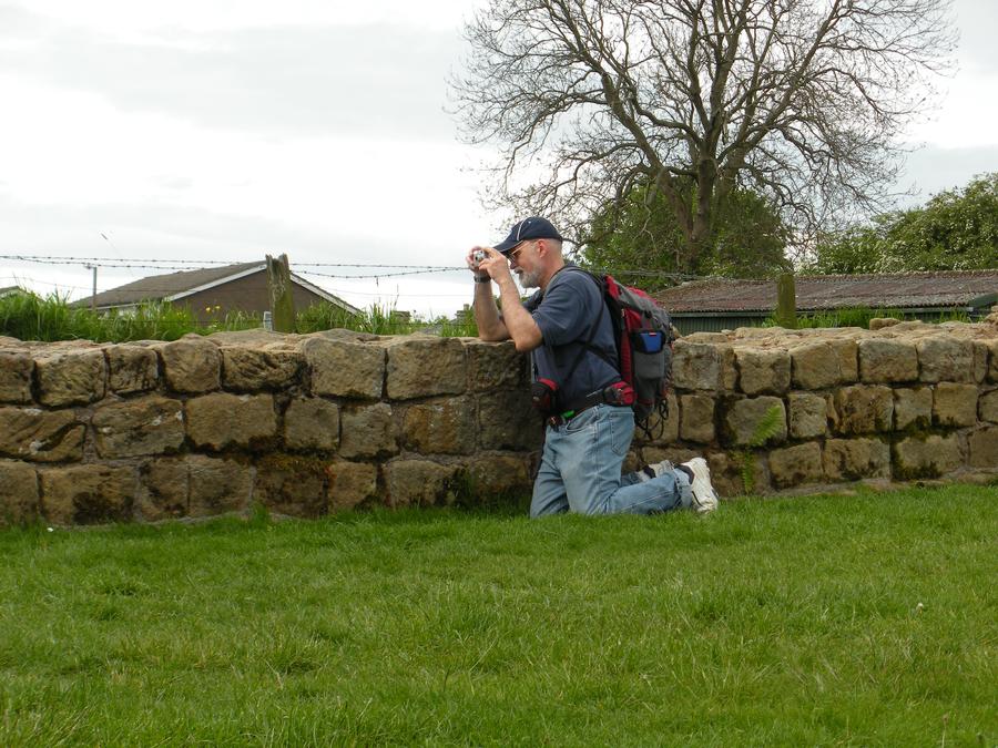
Len at the Wall |
|
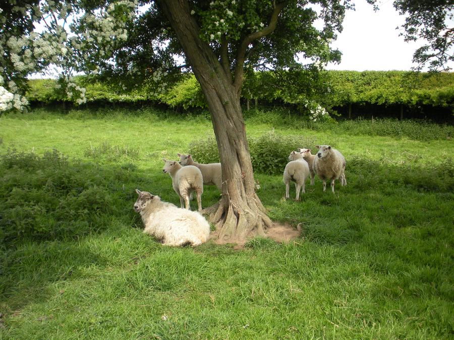
Sheep |
This section of the country has lots of pasture land mostly used for sheep. Large sections of the trail here is through these pastures along side a road that parallels or is on top of the wall remains. We saw relatively little of the wall this day. However, we saw lots and lots of sheep. |
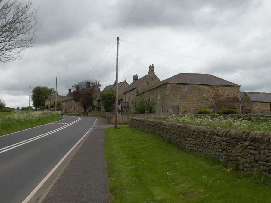
Second Day of Walking |
|
Second Day of Walking |
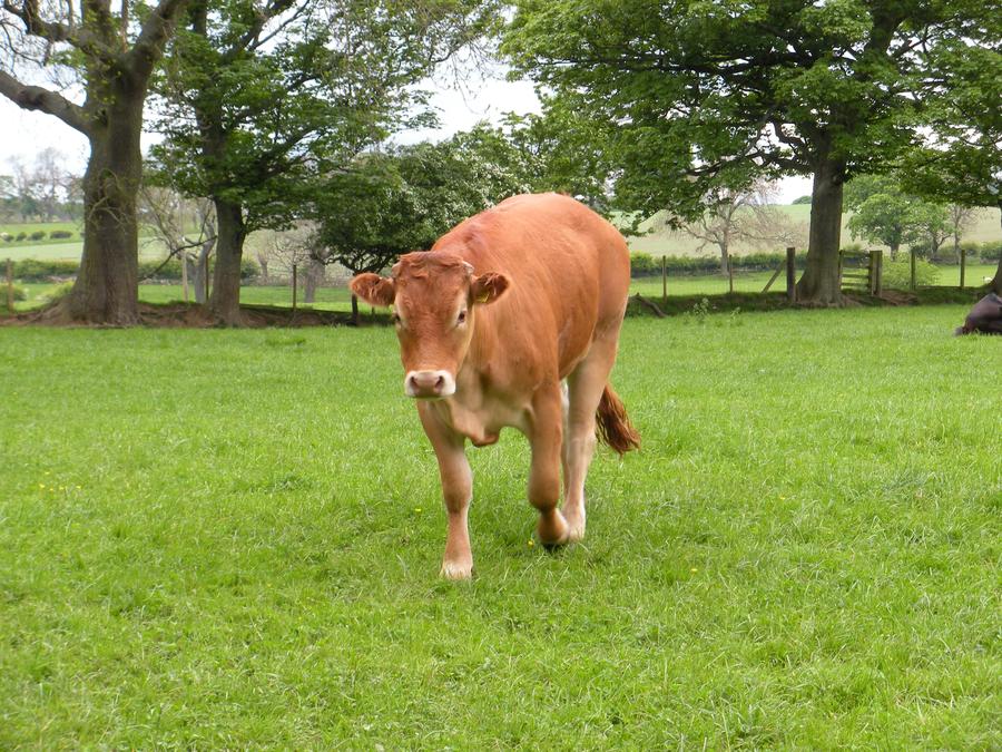
We saw a few cows. |
Second Day of Walking |
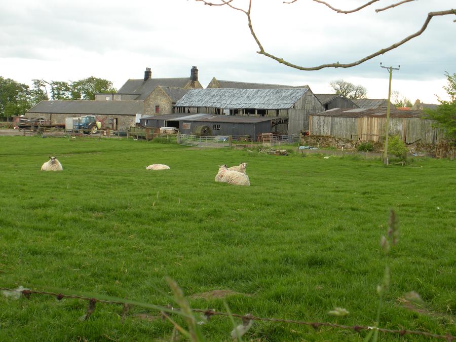
Did I mention that we saw a lot of sheep? |
Second Day of Walking |
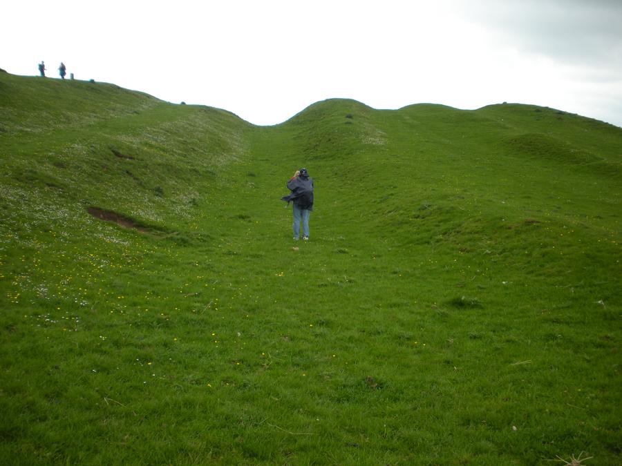
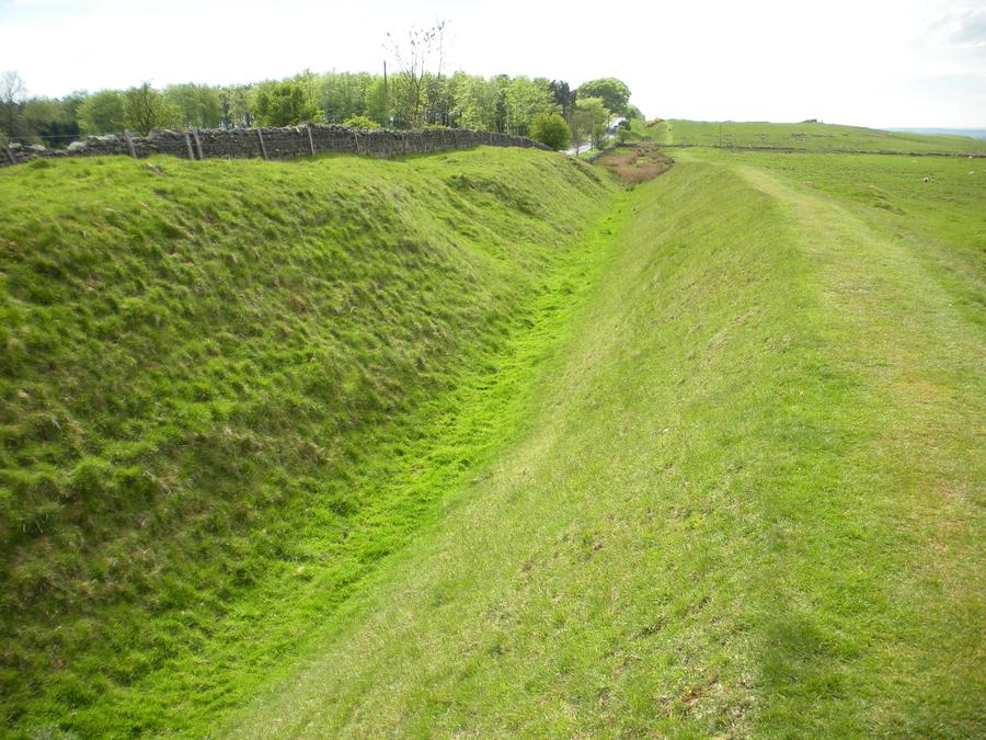
The Romans not only built the wall, but they also dug trenches on both sides of the wall for additional protection. These trenches are actually better preserved than the wall itself along much of the area we walked along today. |
Second Day of Walking |
|
Second Day of Walking |
|
Old Church |
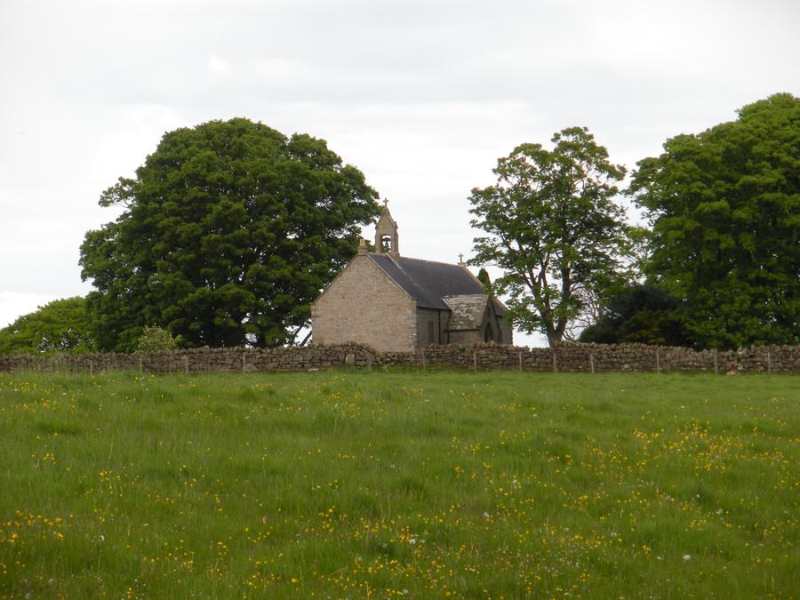
The second day's walk was a long one. We saw this abandoned church across the field, and would have liked to investigate it, but were too tired and still had a way to go. |
Second Day of Walking |
|
Bridge at Chollerford |
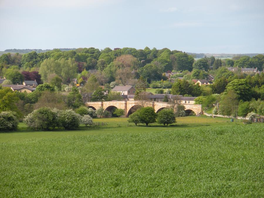
This is a view of the bridge at Chollerford, near the end of our second day's walk. |
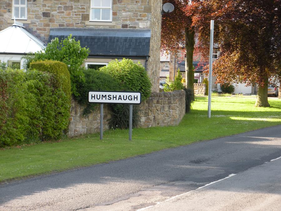
Humshaugh |
We arrived at our destination of Humshaugh at about 6PM after walking from about 9AM. We were telling each other we'd walked over 20 miles, but it was probably closer to 16. We headed immediately for the town pub. |
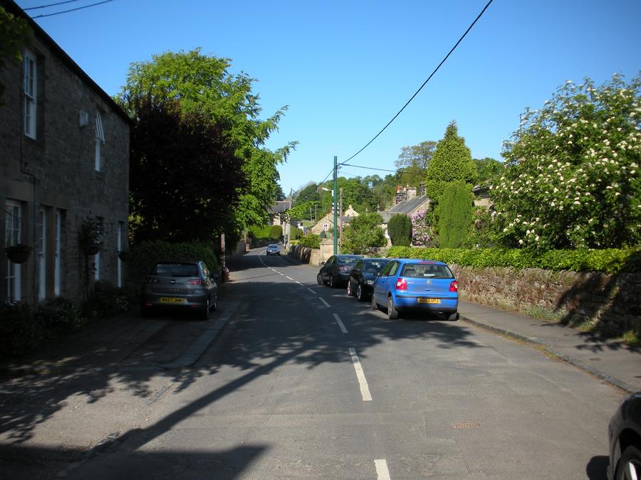
Humshaugh Main Street |
|
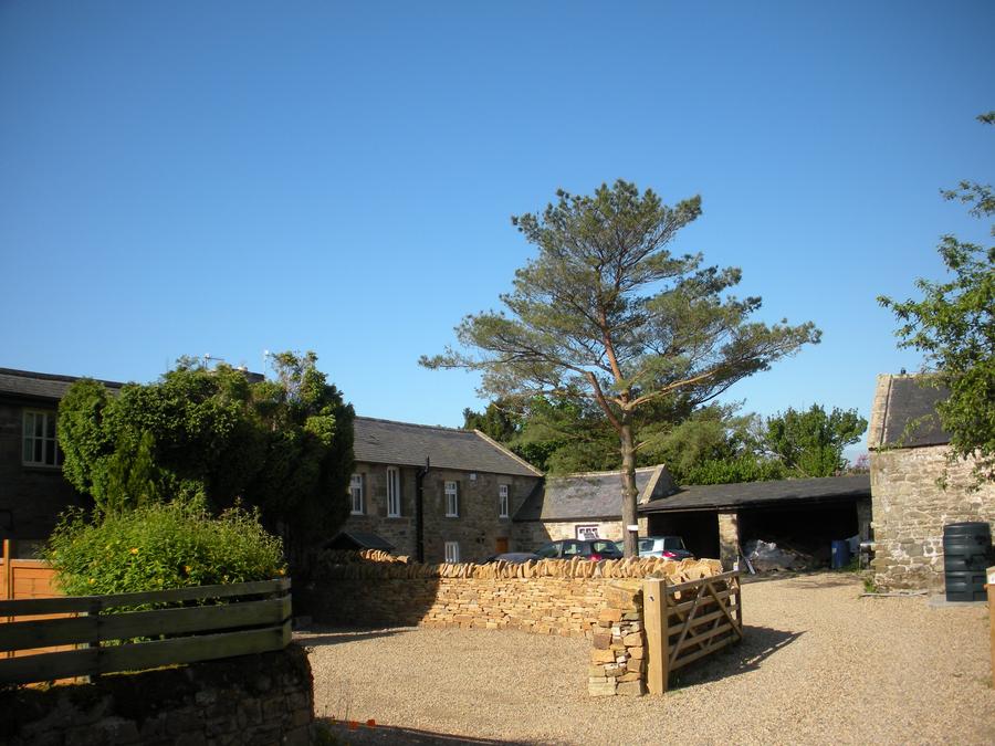
B&B in HumsHaugh |
We stayed at this B&B, which was a converted barn. |
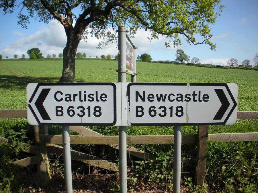
Sign |
This sign pretty much sums up our trip. Had we driven the main road from Newcastle to Carlisle, the trip would have taken a few hours, instead of a week. |
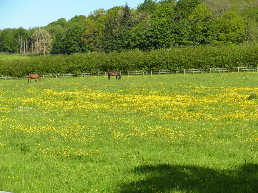
Third Day of Walking |
|
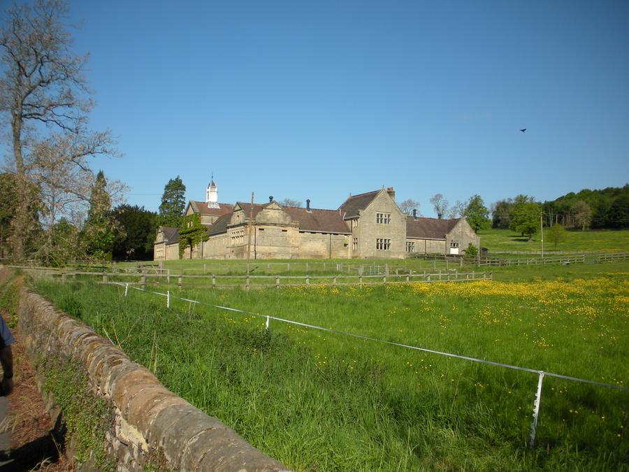
Third Day of Walking |
|
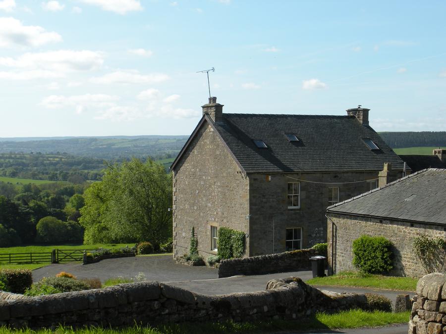
Third Day of Walking |
|
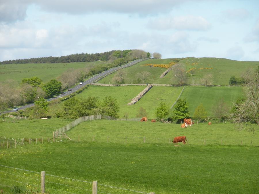
Third Day of Walking |
|
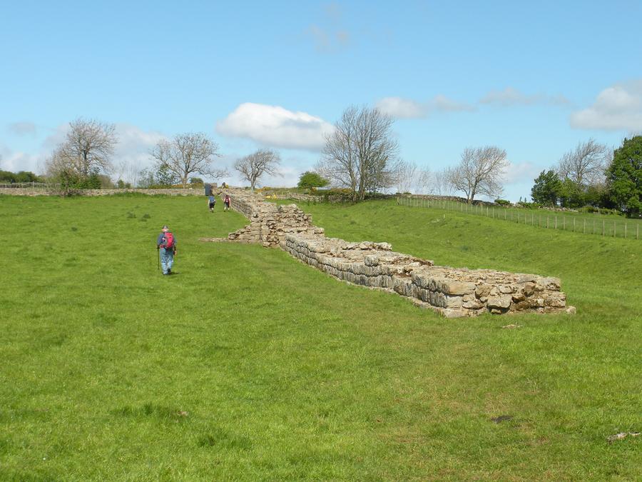
Third Day of Walking |
Here Len is walking along side a reconstructed section of the wall. |
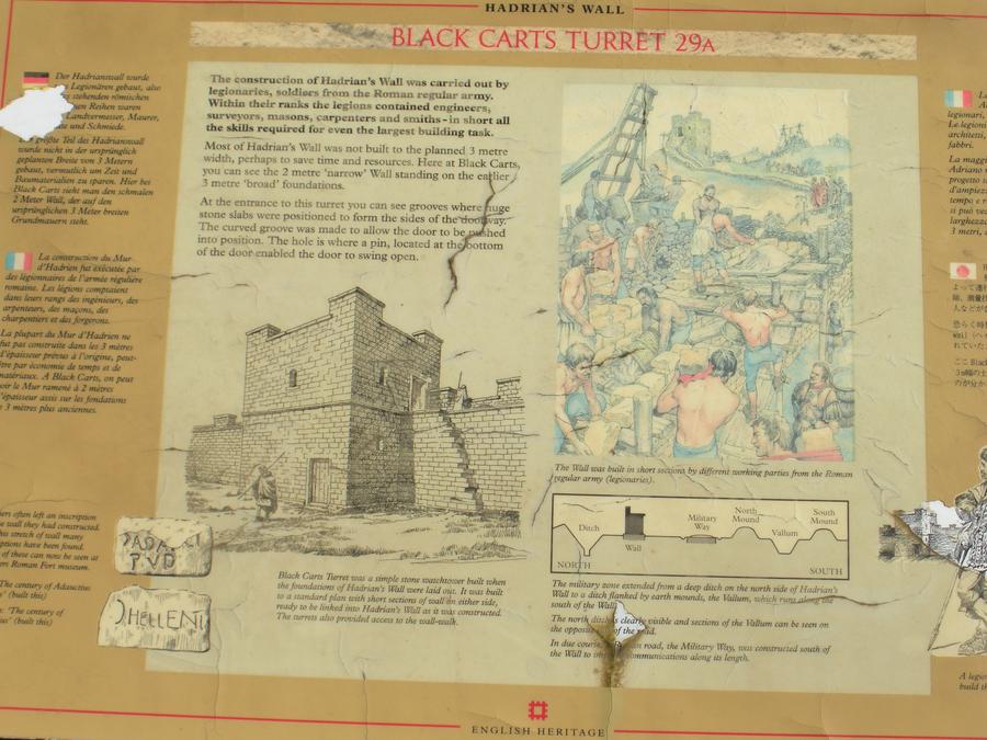
Third Day of Walking |
|
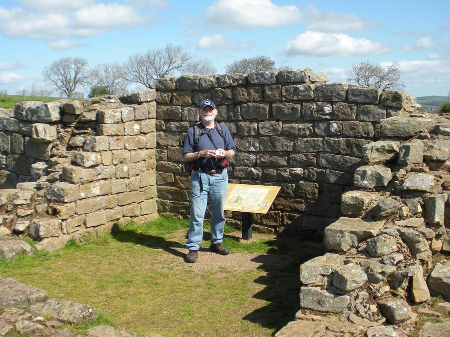
Third Day of Walking |
Len is standing in Black Carts Turrent. These turrets could house only a few men and were built right into the wall between the larger forts called mile castles. |
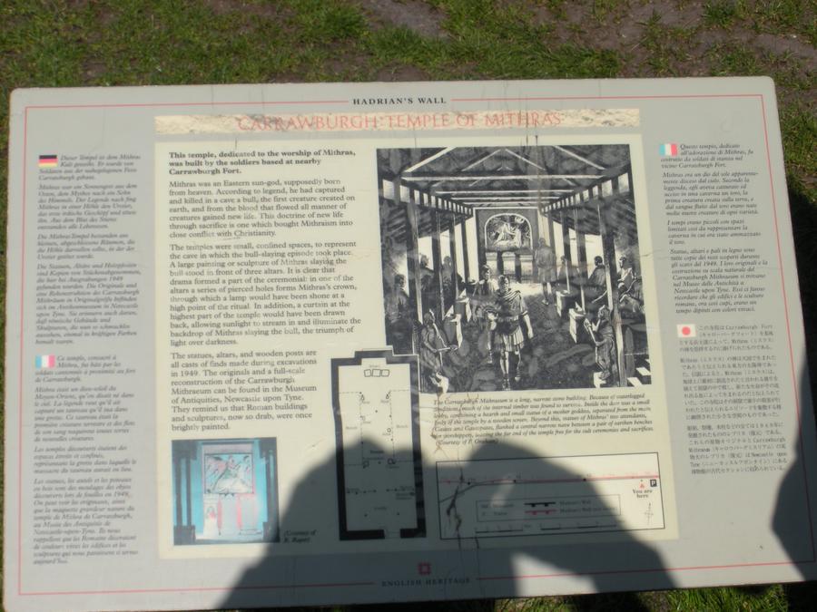
Third Day of Walking |
|
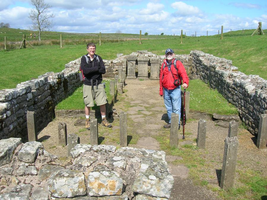
Third Day of Walking |
These are the remains of a Roman temple to some Goddess, standing just a short distance south of the wall; |
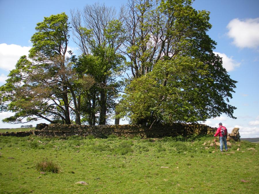
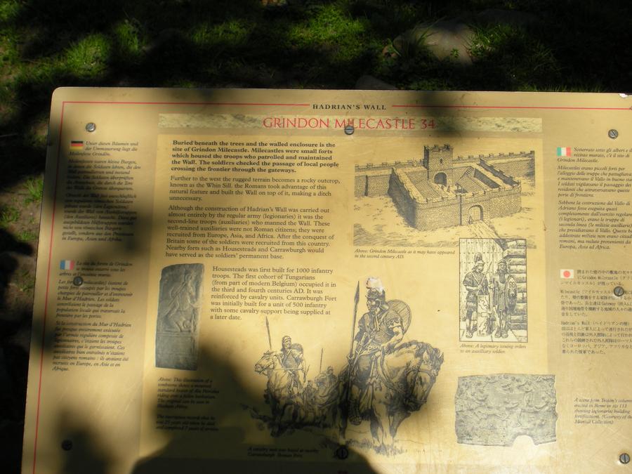
Third Day of Walking |
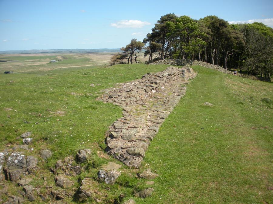
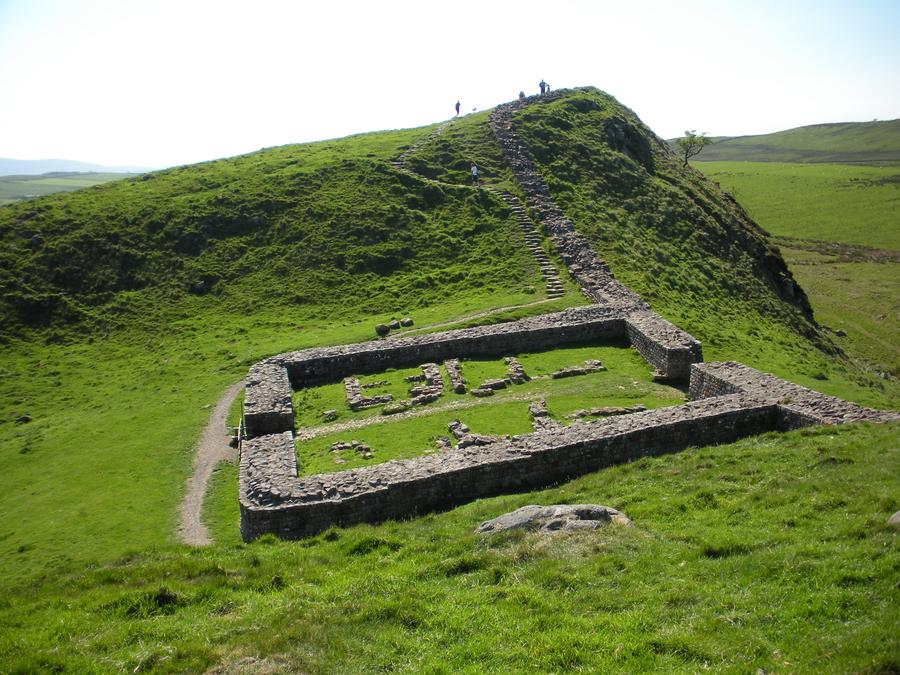
Len is standing infront of the remains of Grindon Milecastle. |
Third Day of Walking |
|
Third Day of Walking |
|
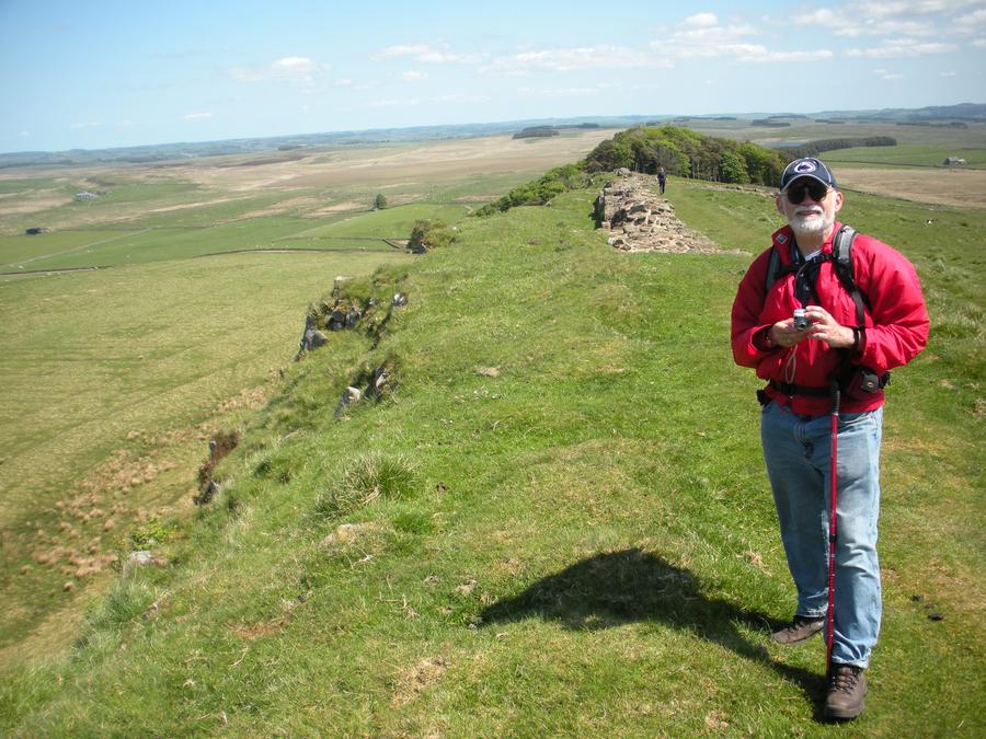
Third Day of Walking |
|
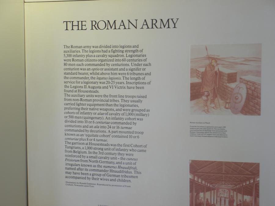
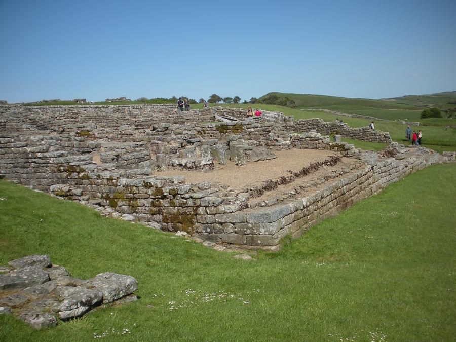
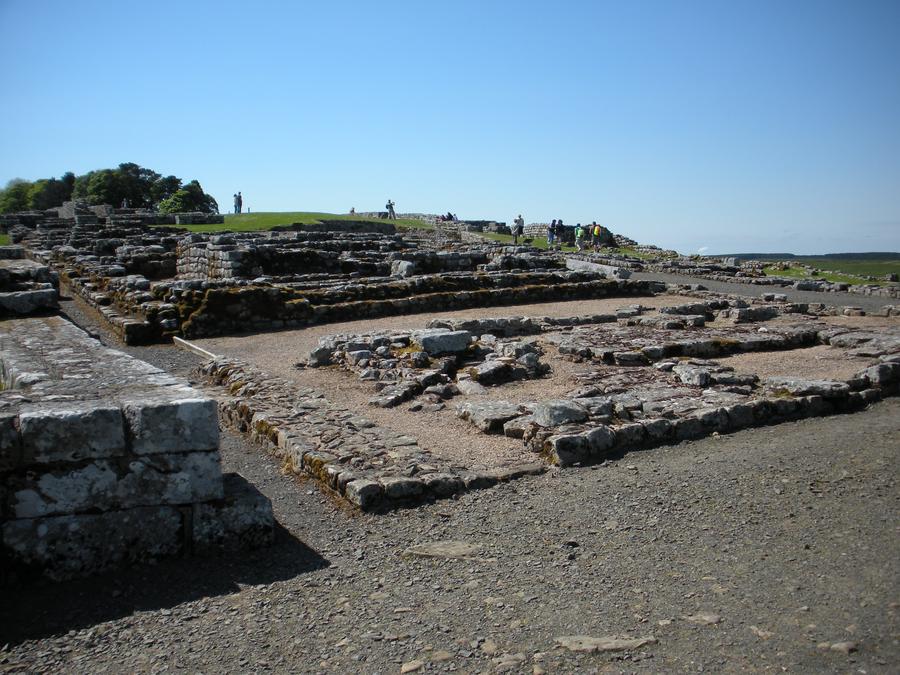
Homestead Fort |
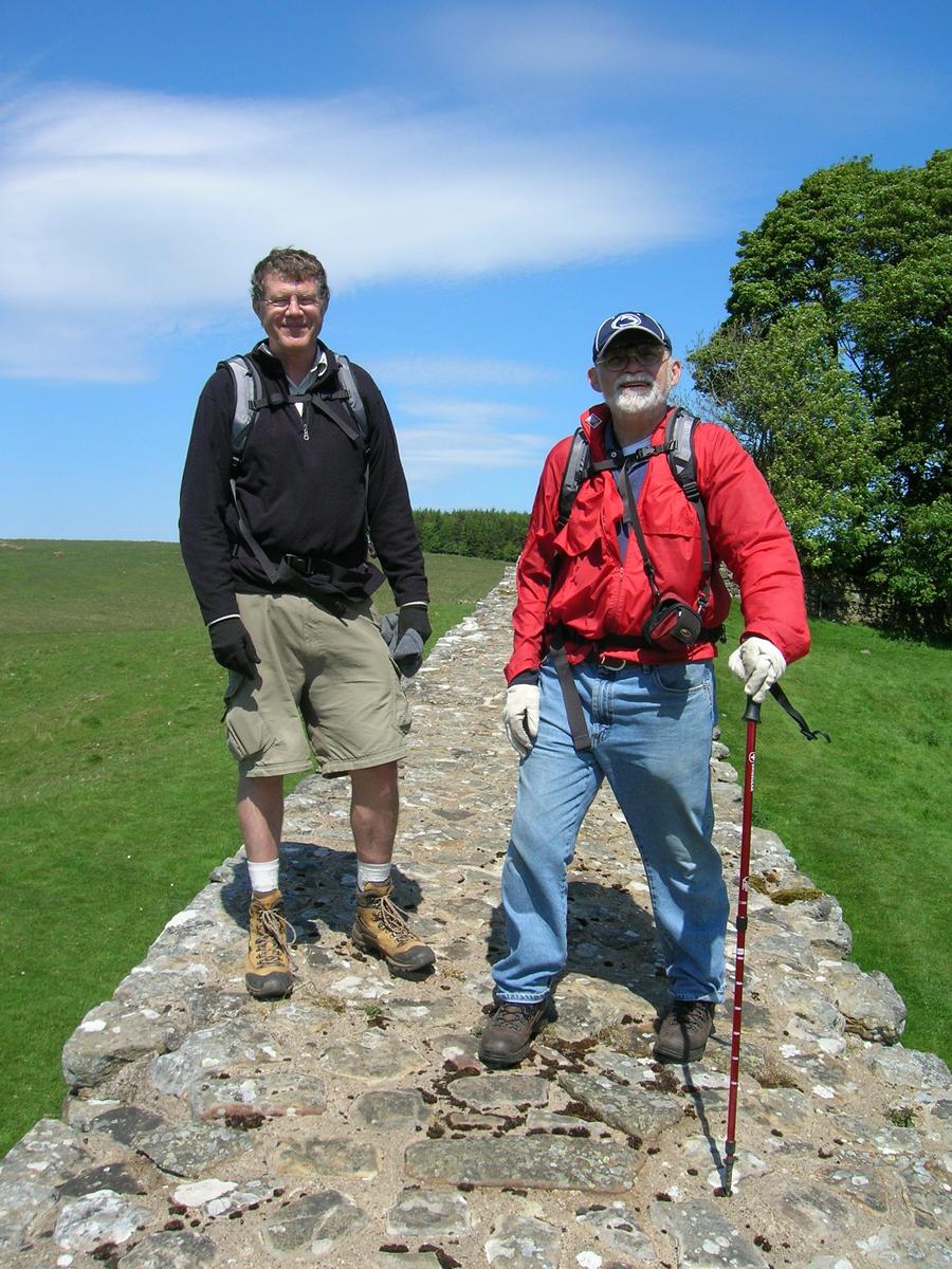
Len and I are standing on a reconstructed section of wall just outside of Homestead Fort |
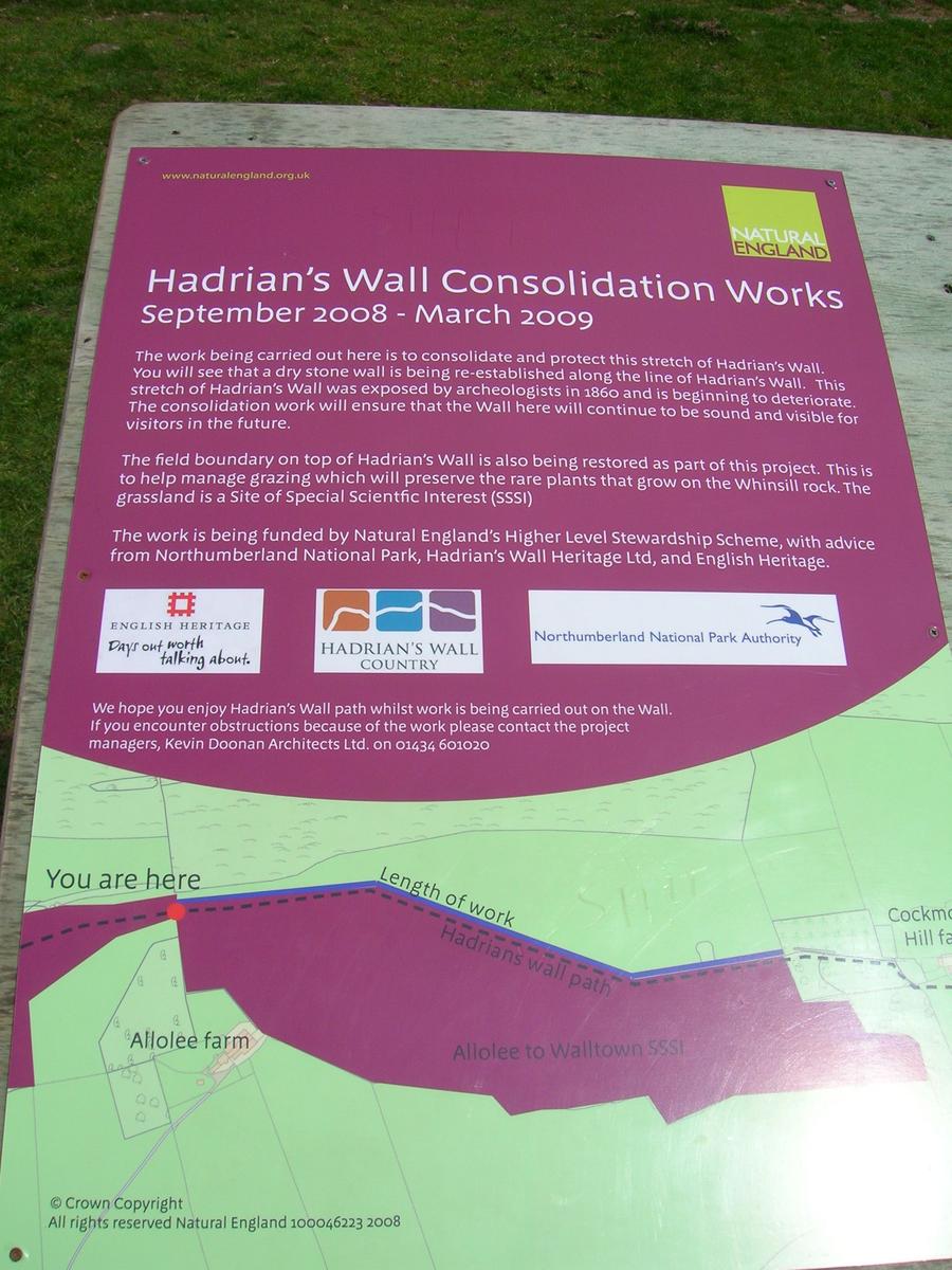
Homestead Fort |
|
Homestead Fort |
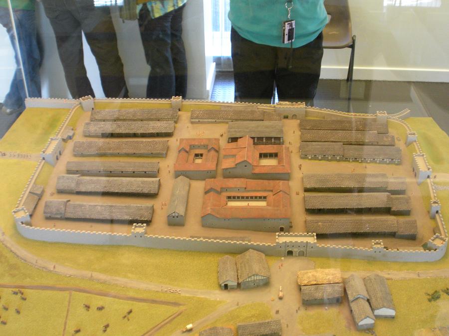
The fort had a small museum which contained this model of what the fort had looked like. You can see that the wall was built right into the fort at the upper end of the model. |
Homestead Fort |
|
Homestead Fort |
|
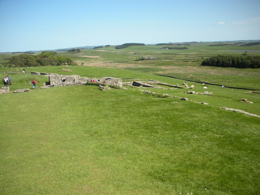
Homestead Fort |
This view looks south from inside the fort. |
Homestead Fort |
|
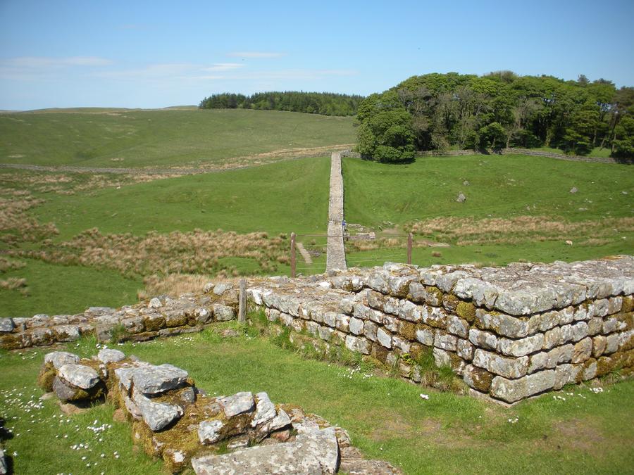
Third Day of Walking |
|
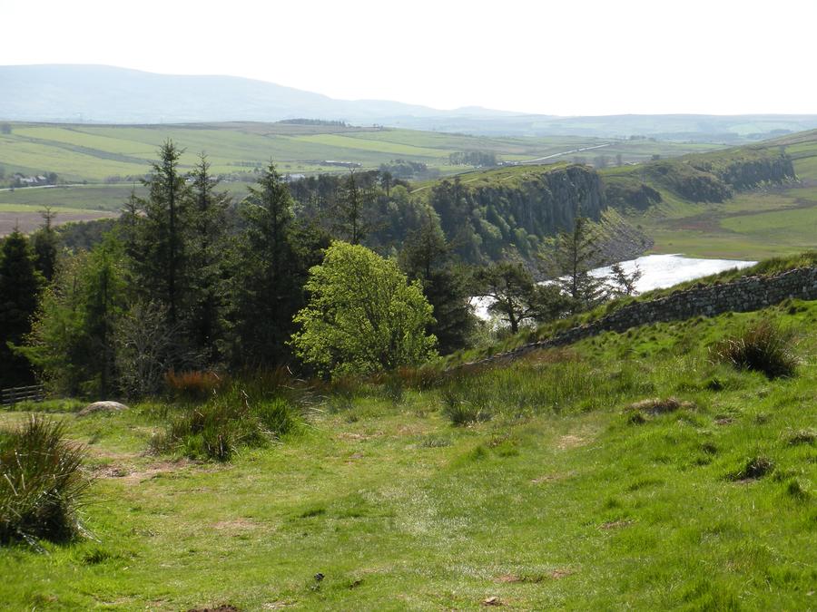
The Crags |
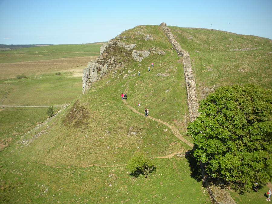
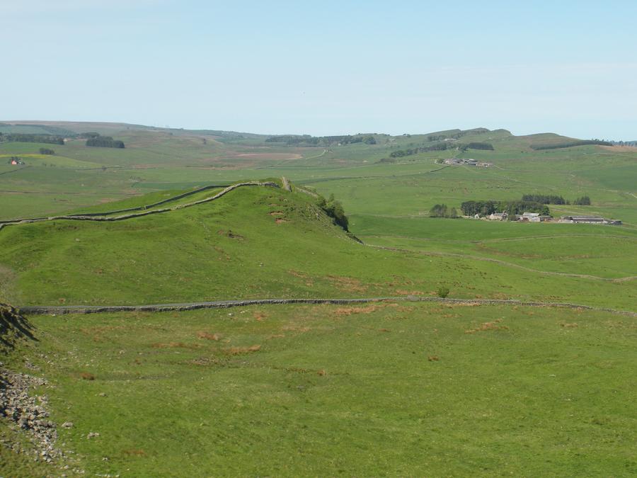
This is perhaps the prettiest part of the walk. The land uplifted along this section of the wall, presenting a steep hill when approaching from the south, but also presenting cliffs when approaching from the north. This is ideal country, when you want to stop the Northern barbarians. |
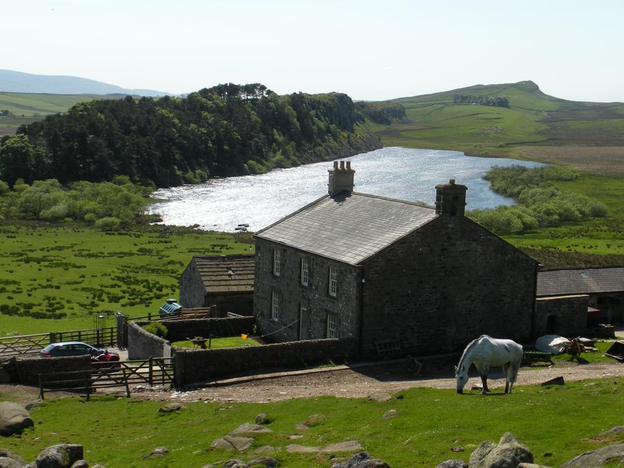
Farm Along the Wall |
|
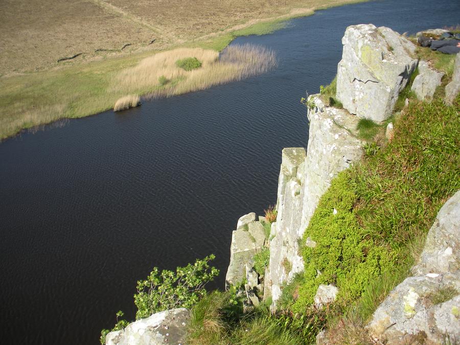
Highshield Crags |
|
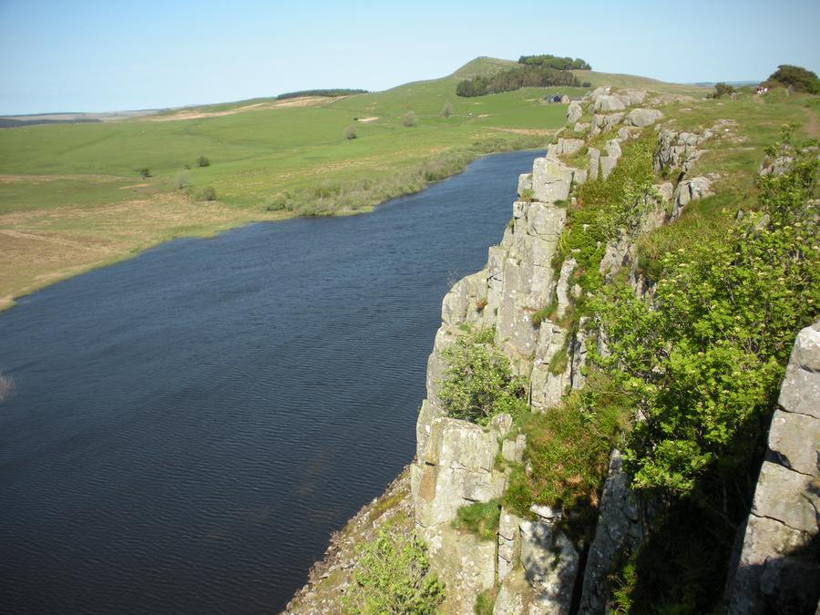
Highshield Crags |
This shot looks to the northeast from on top of the Crag. |
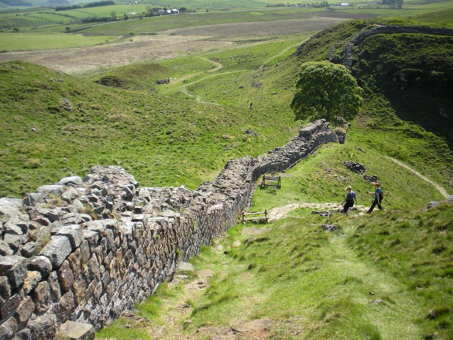
Third Day of Walking |
|
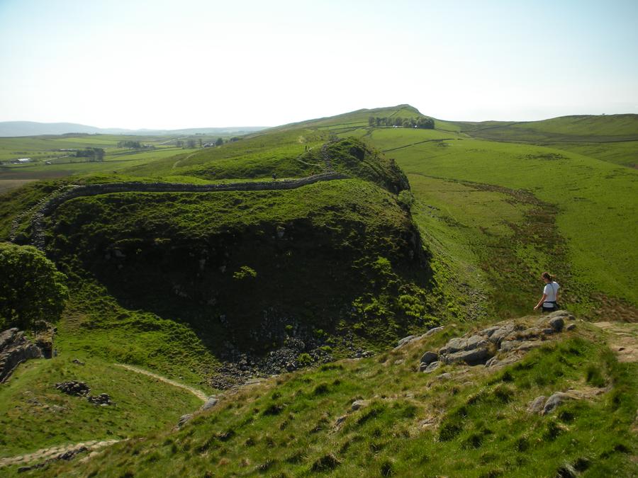
Third Day of Walking |
|
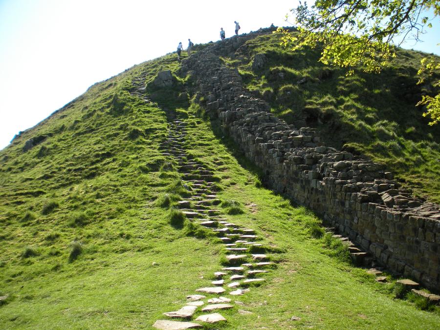
Third Day of Walking |
|
Third Day of Walking |
|
Third Day of Walking |
|
Gibbs Hill Farm |
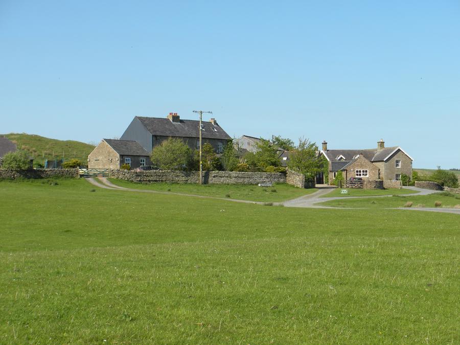
We stayed at Gibbs Hill Farm bed and breakfast, which is a few miles north of the wall. |
Gibbs Hill Farm |
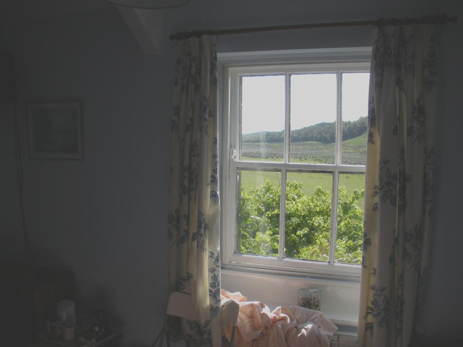
This is a shot from our room for the night. |
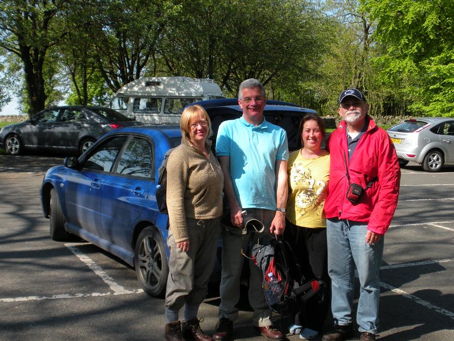
Fourth Day of Walking |
We are starting out on our 4th day. From left to right are Sandra and Steve, a couple we met the night before, our hostes from Gibbs Hill, and Len. We ran into Sandra and Steve for the rest of our walk. |
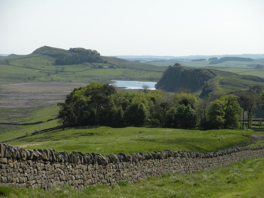
Fourth Day of Walking |
|
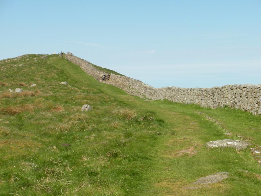
Fourth Day of Walking |
|
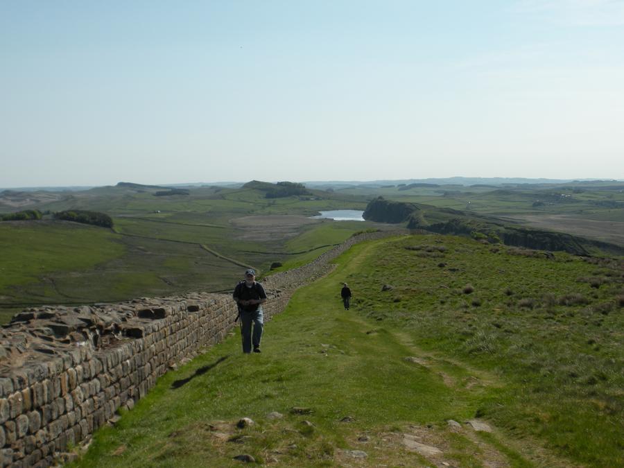
Fourth Day of Walking |
|
Fourth Day of Walking |
|
Fourth Day of Walking |
|
Cawfields Milecastle |
|
Fourth Day of Walking |
|
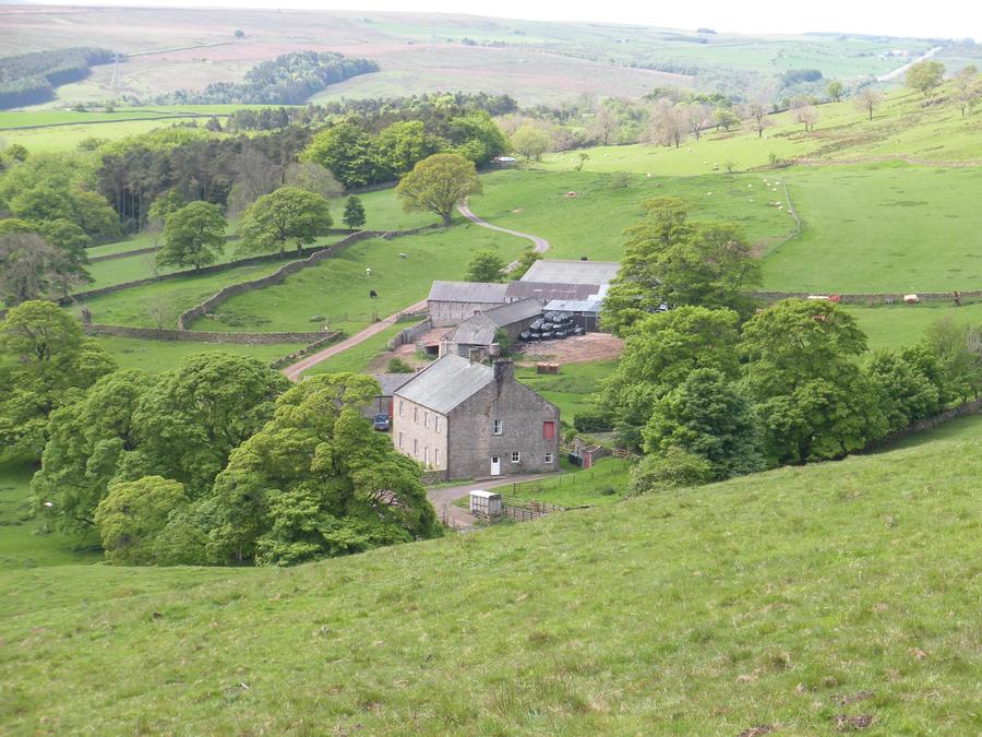
Fourth Day of Walking |
|
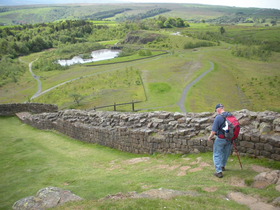
Walltown Quarry Country Park |
Len is walking toward Walltown Quarry Park. We stopped here briefly to buy some drinks, then visited the Cavoran Roman Army Museum, just south of the wall. |
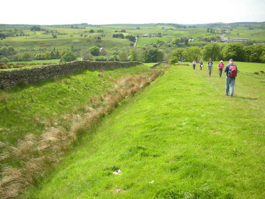
Fourth Day of Walking |
|
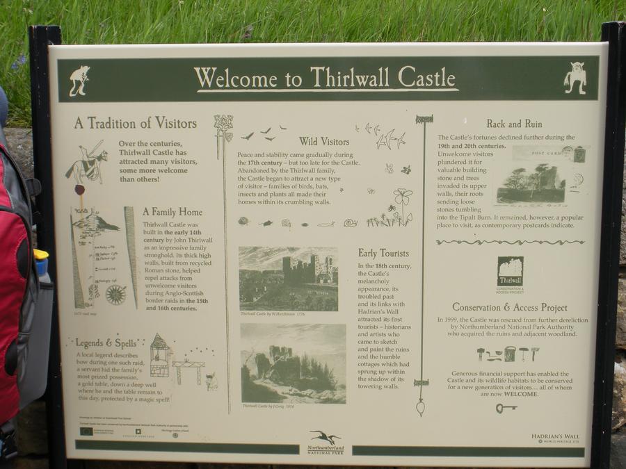
Thirlwall Castle |
|
Thirlwall Castle |
|
Thirlwall Castle |
Thirlwall Castle was built in the early 14th century, using material from the wall. Not much remains of the Castle. |
Fourth Day of Walking |
|
Bush Nook Bead and Breakfast |
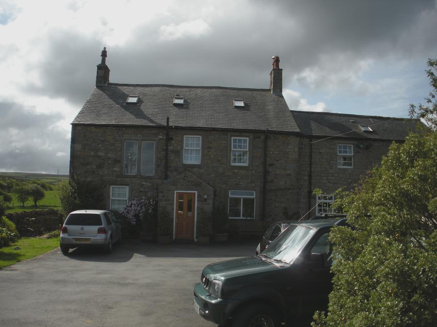
We spent our fourth night at Bush Nook about 2 miles south of the wall and the small town of Gilsland. |
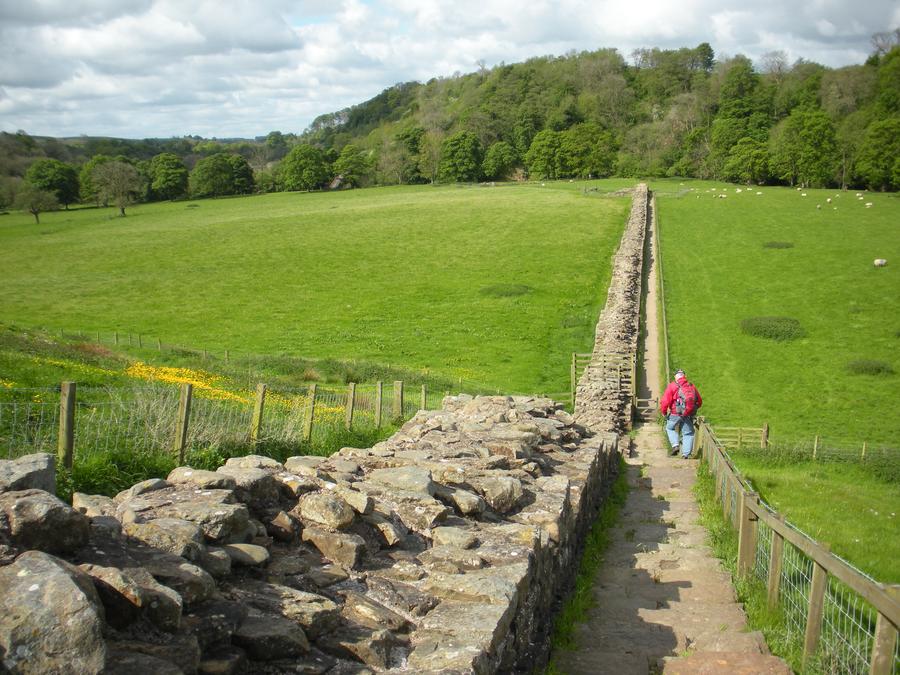
Fifth Day of Walking |
Here Len is on the morning of the fifth day. |
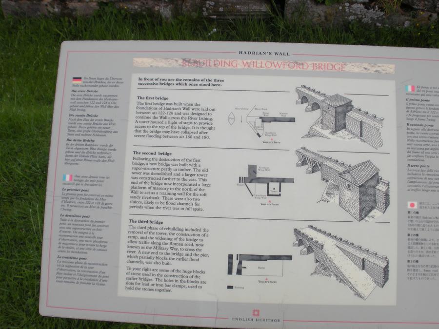
Willowford Bridge |
|
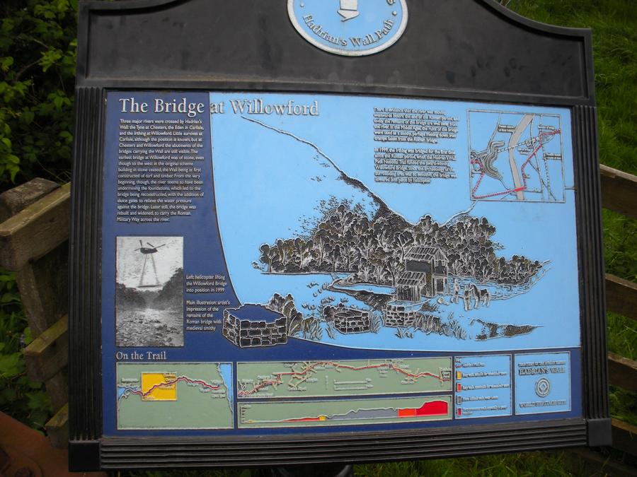
Willowford Bridge |
|
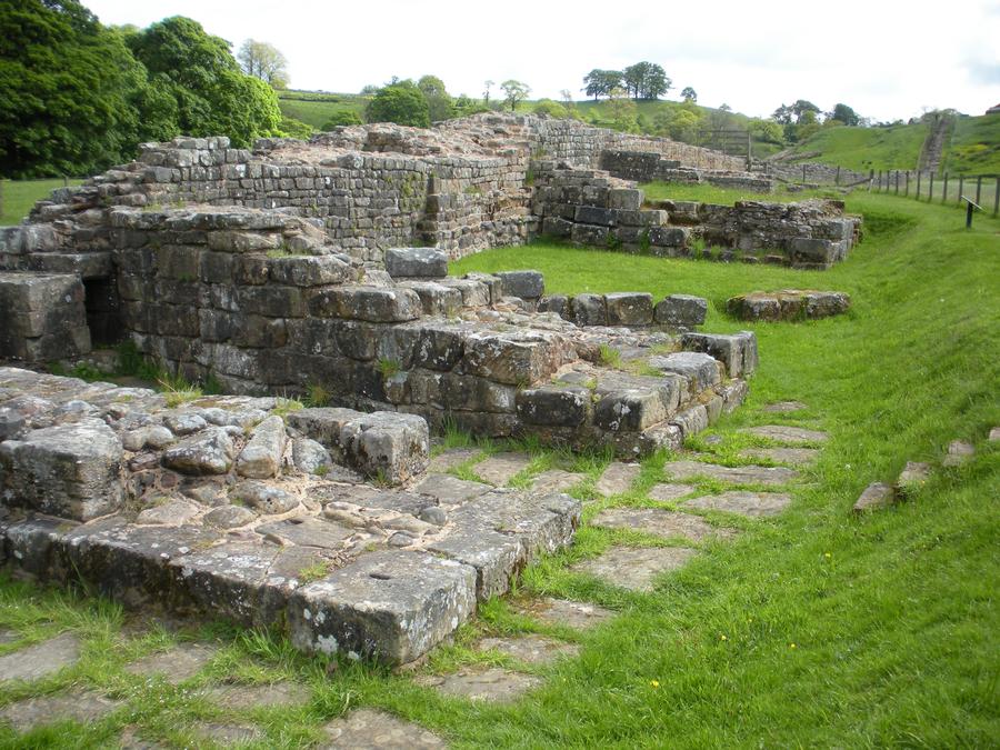
Willowford Bridge |
These are the ruins of the eastern side of the bridge section of the wall crossing Willowford creek. Ironically enough, it is no longer next to the creek which shifted to the west a few hundred feet. |
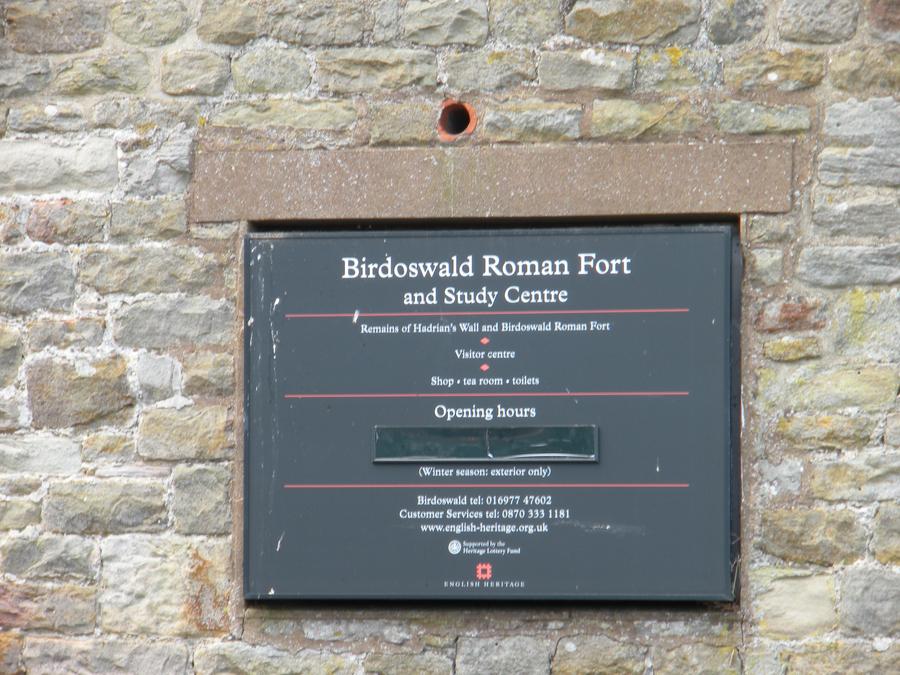
Birdoswald Fort |
|
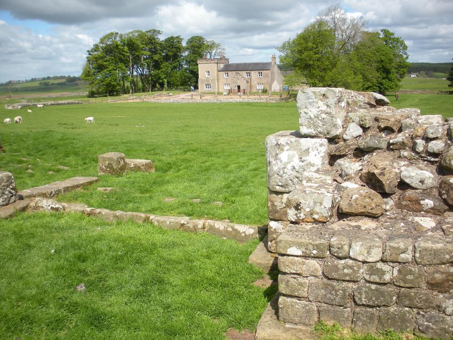
Birdoswald Fort |
Birdoswald was another Roman fort built along the wall. Here, I'm standing in the remains of the fort looking north toward the English manor standing on the north fort boundary. |
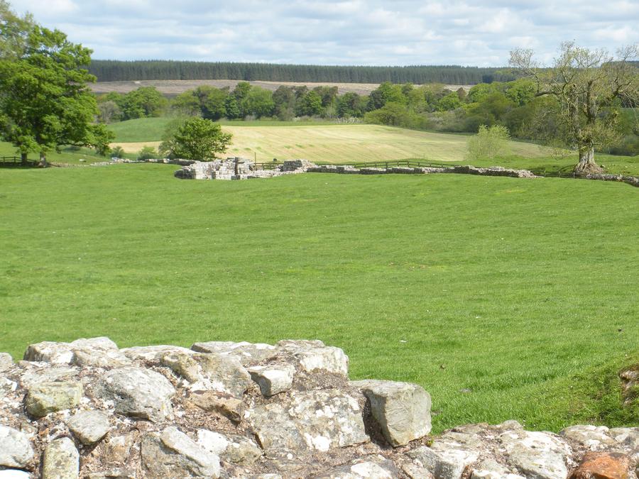
Birdoswald Fort |
This is a view south from inside the remains of the fort. |
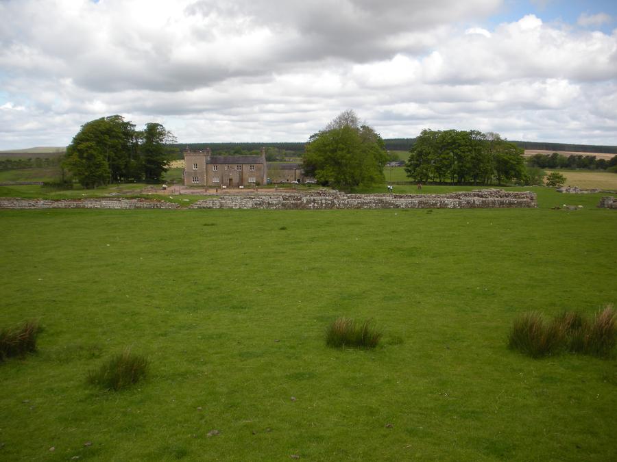
Birdoswald Fort |
This is a view of the southern wall of the fort and the English manor behind it. |
Birdoswald Fort |
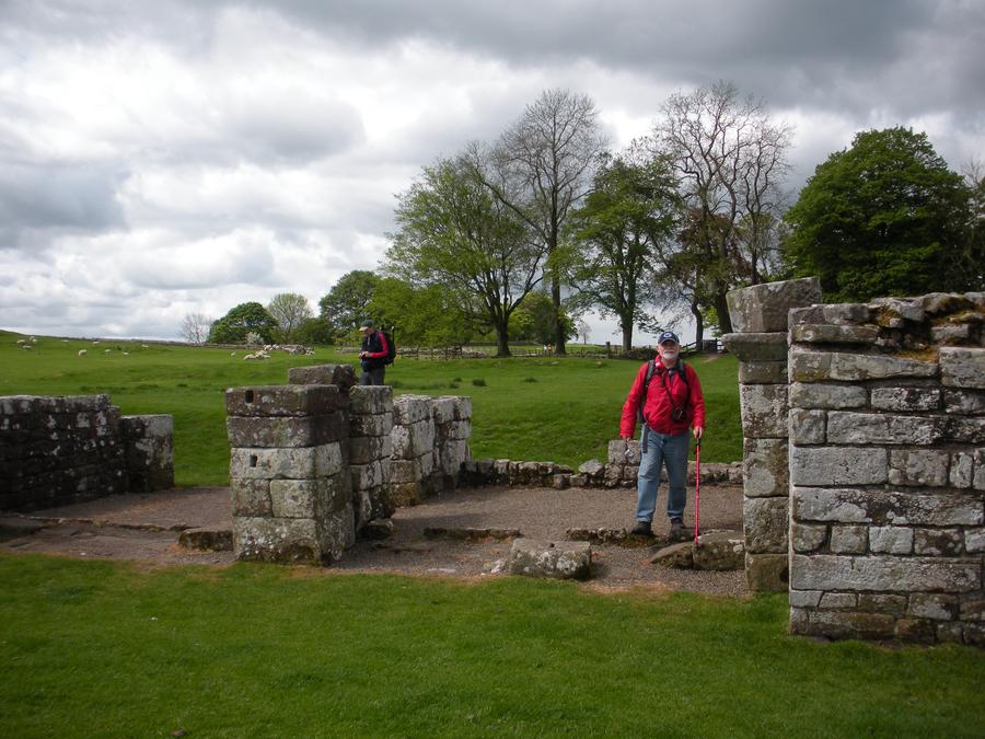
Here Len is standing at the remains of the eastern gate to the fort. |
Fifth Day of Walking |
|
Lanercost Priory |
|
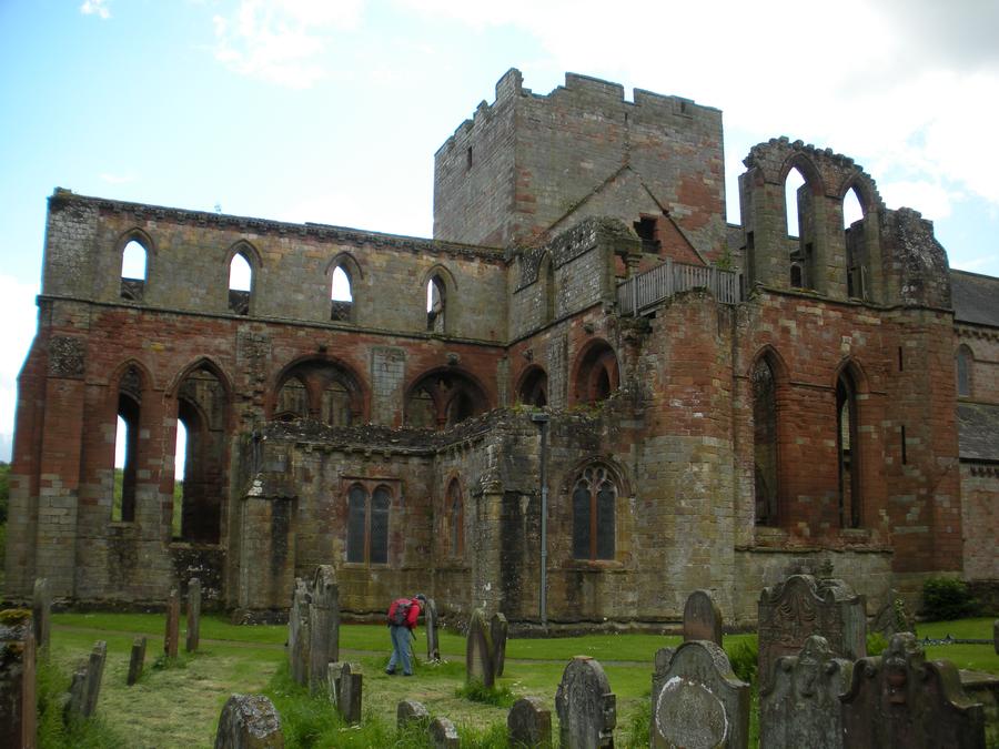
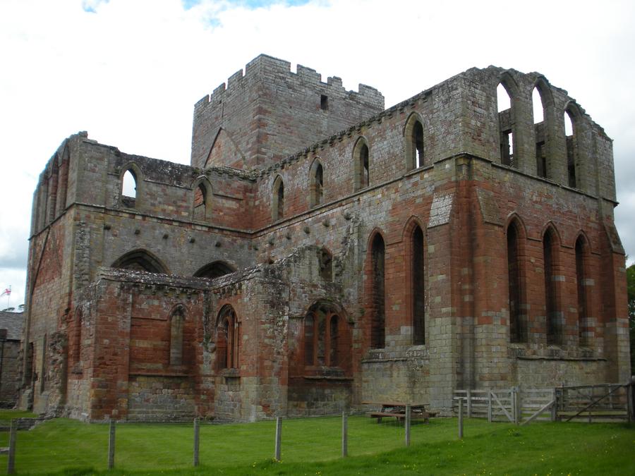
Lanercost Priory |
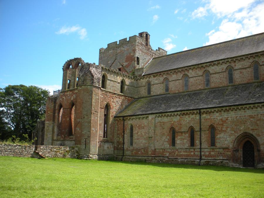
Lanercost Priory lies about a mile south of the wall. Part of the structure is maintained as a fully functional present day church and the rest has been allowed to go into ruin. |
Lanercost Priory |
|
Lanercost Priory |
|
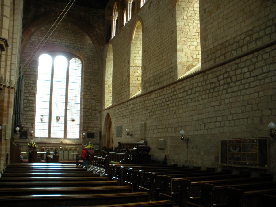
Lanercost Priory |
This is a view of the interior of the present day church. |
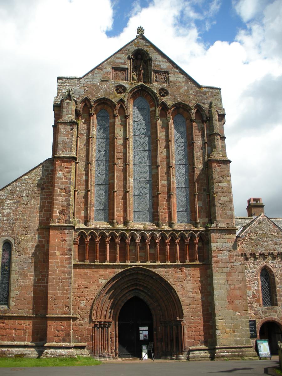
Lanercost Priory |
This is the front view of the church. The back end of the church connects to the ruins of the older larger sturcture. |
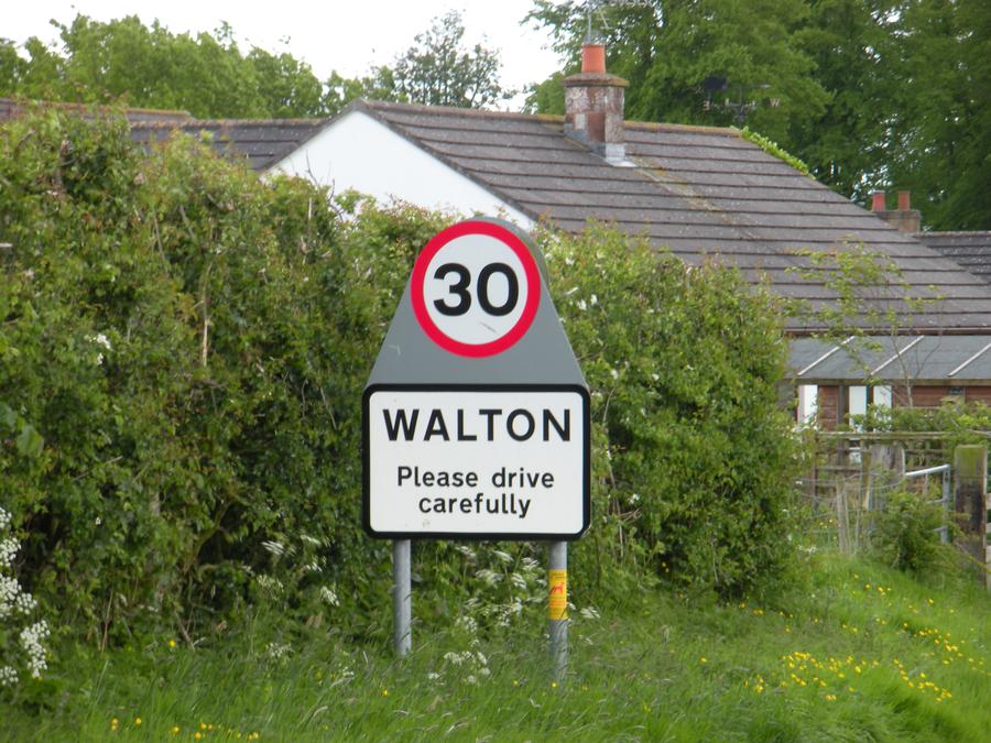
Walton |
We ended our 5th day of walking at Walton. |
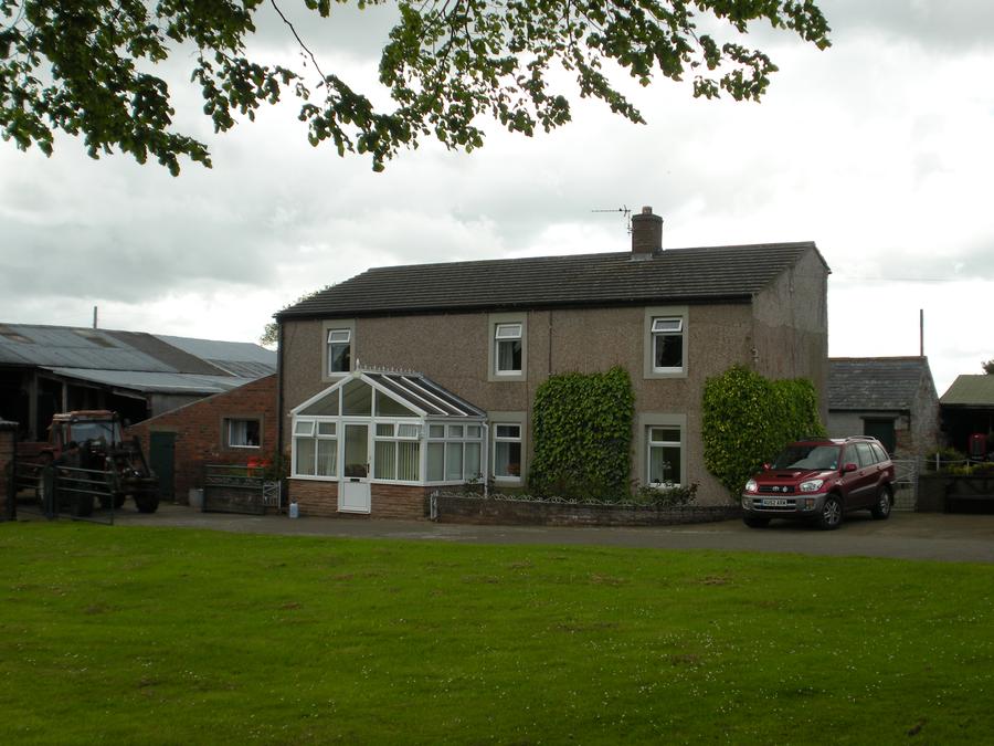
Walton B&B |
We stayed the night at the Town Head Farm B&B. |
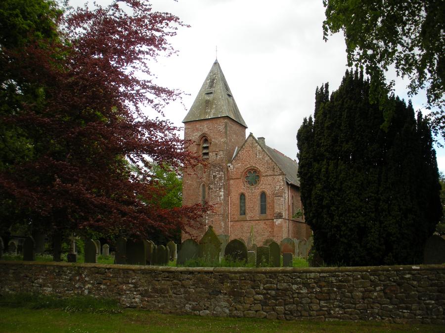
Walton Church |
|
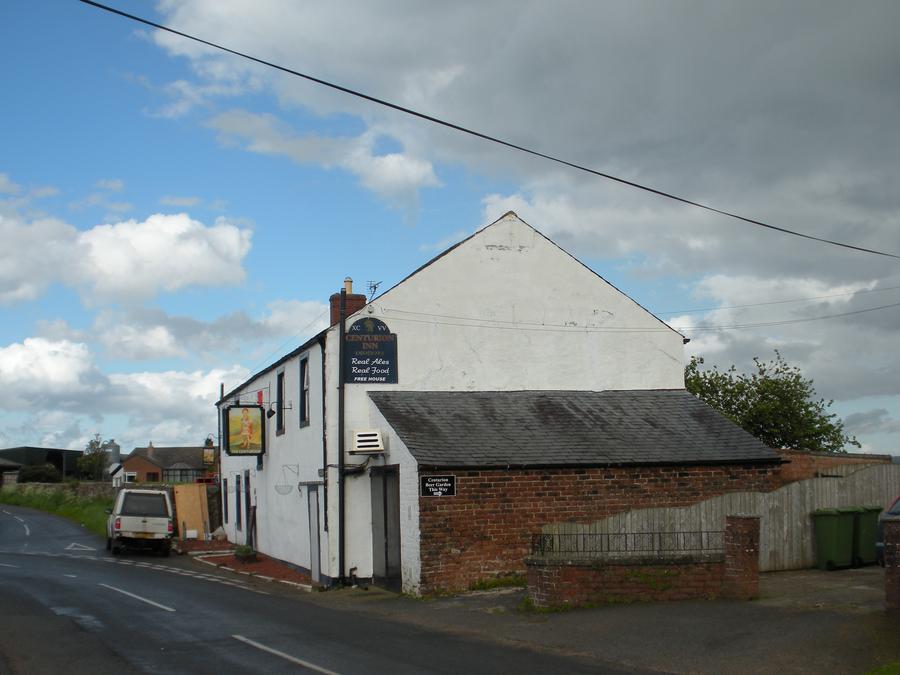
Walton Pub |
|
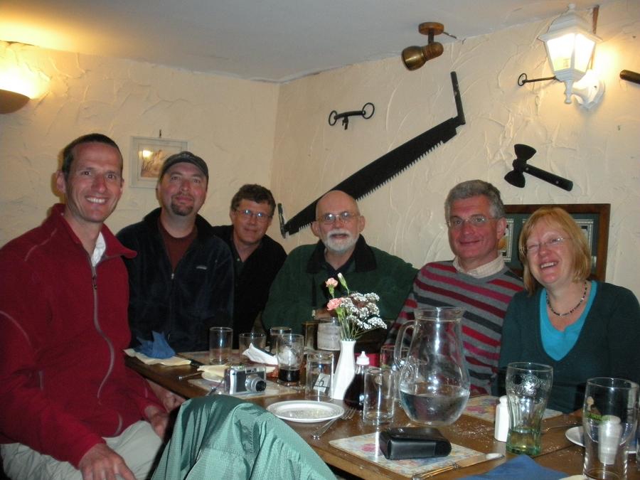
Walton Pub |
We had dinner at the Walton Pub with a number of people we'd met on the trail. |
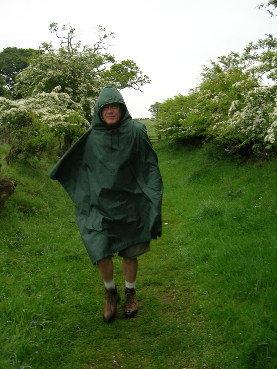
Sixth Day of Walking |
The sixth day it rained a slow drizzle most of the day. This was really the only day of bad weather we had. Apparently, we got really lucky on the weather. |
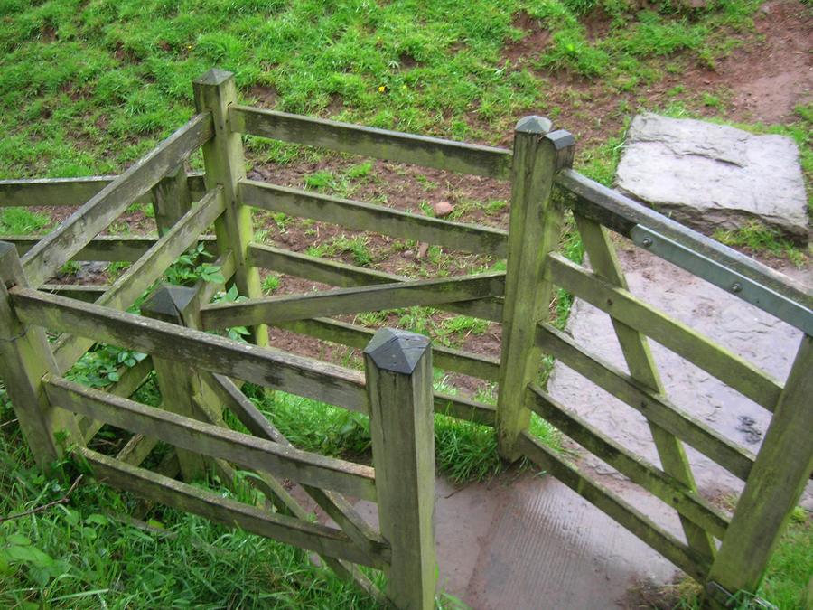
Sixth Day of Walking |
This is a gate to keep livestock in the field. It's referred to as a "kissing gate". |
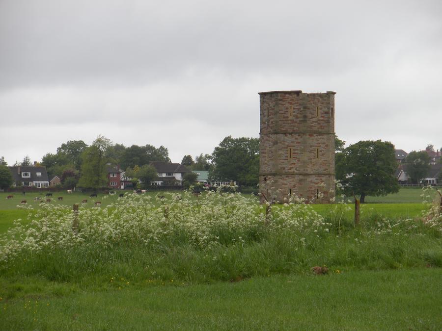
Carlisle |
This tower is at the Carlisle city limit. |
Carlisle |
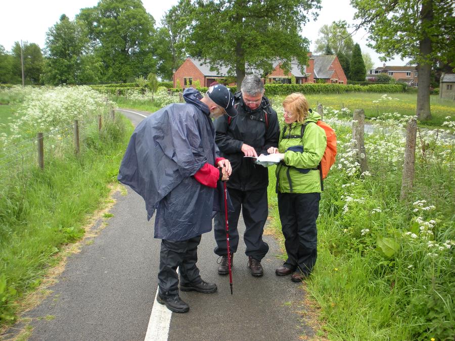
We again ran into Steven and Sandra. |
Carlisle |
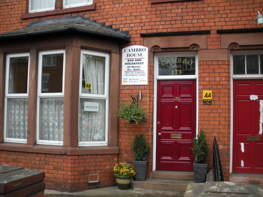
We stayed at the Cambro House B&B about a quarter mile from down town Carlisle. |
Carlisle Center City Plaza |
|
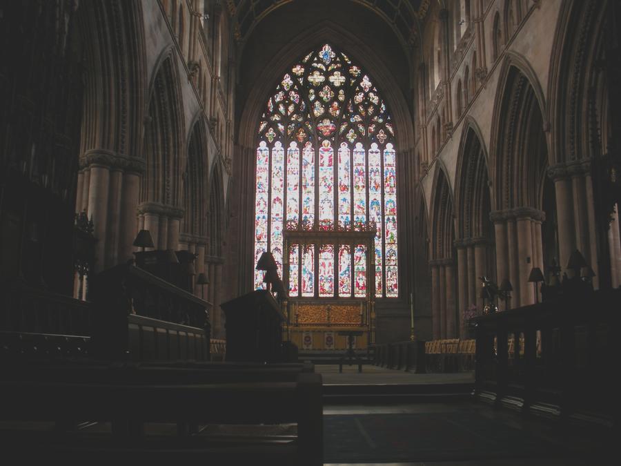
Carlisle Cathedral |
|
Carlisle Cathedral |
|
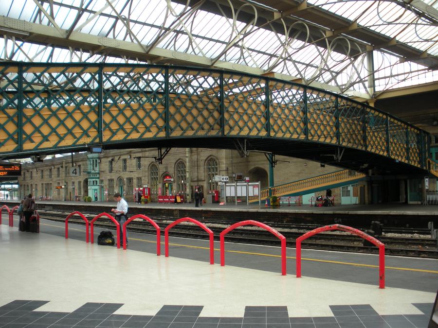
Carlisle Train Station |
|
Seventh Day of Walking |
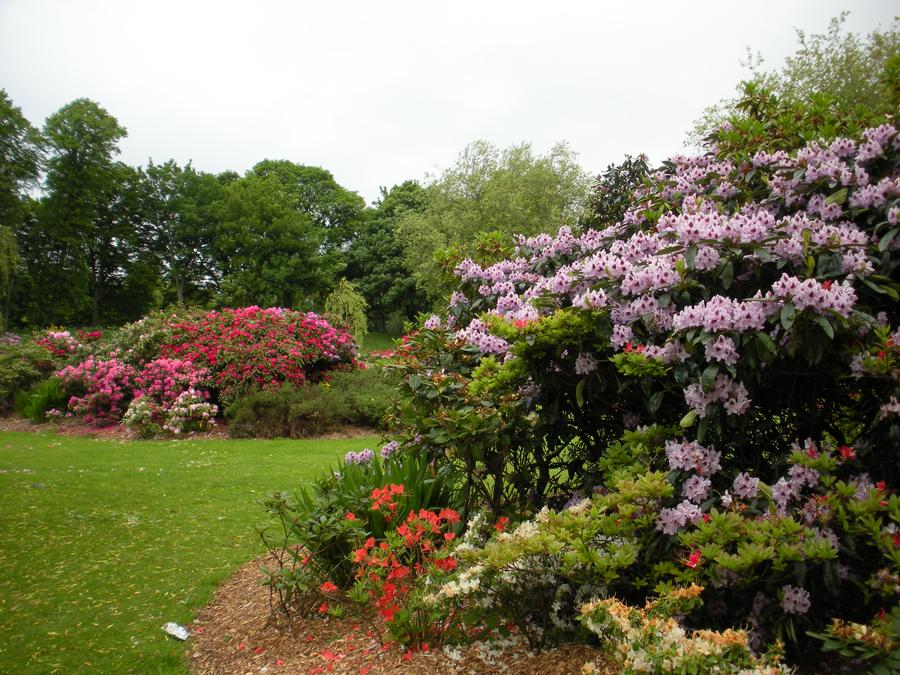
We started our final day of walking by passing through Bitts Park, on the outskirts of Carlisle. |
Seventh Day of Walking |
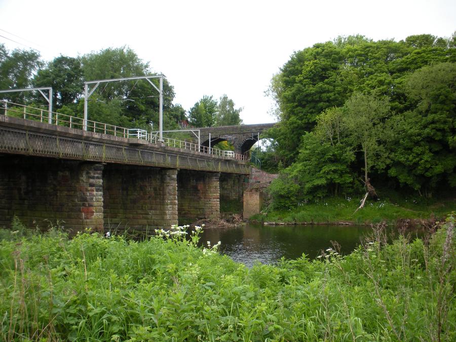
We followed the River Eden towards Solway Firth (bay). |
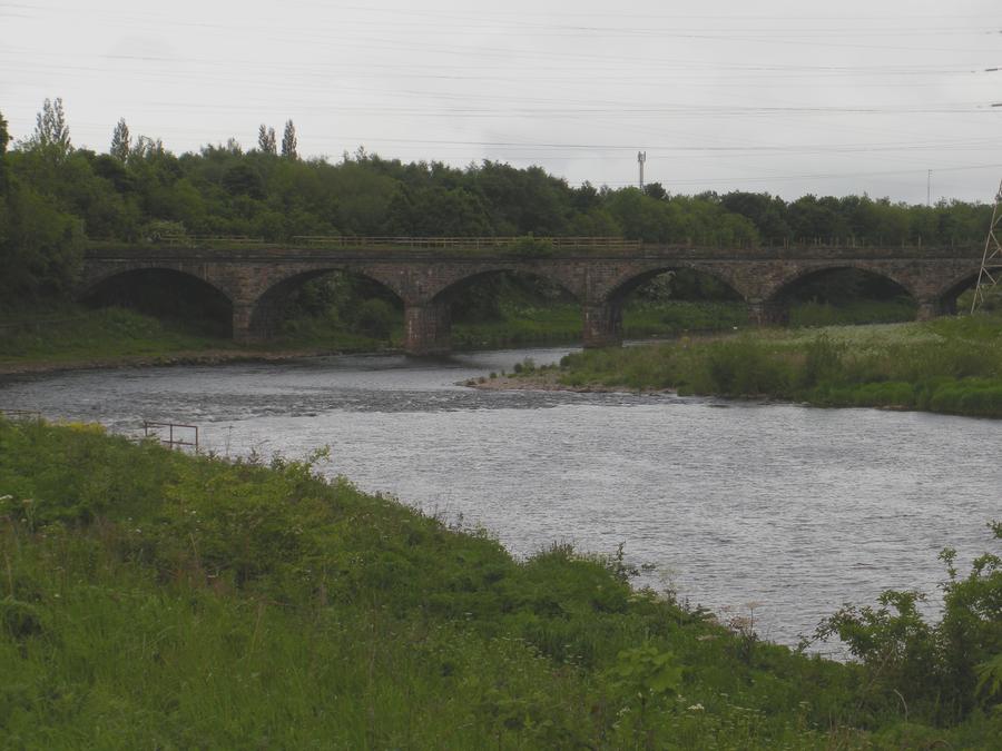
Seventh Day of Walking |
|
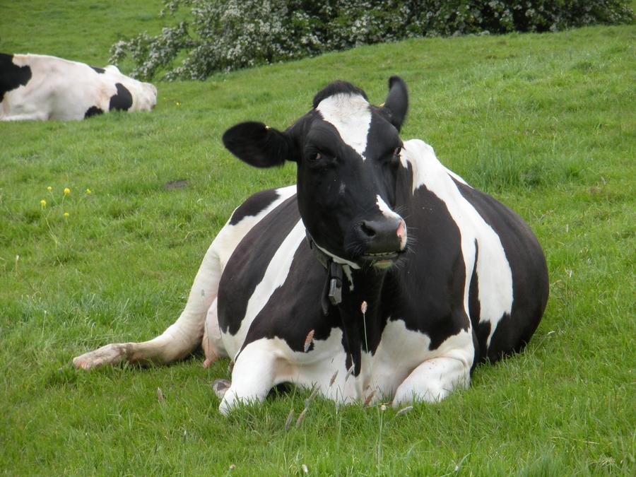
Seventh Day of Walking |
|
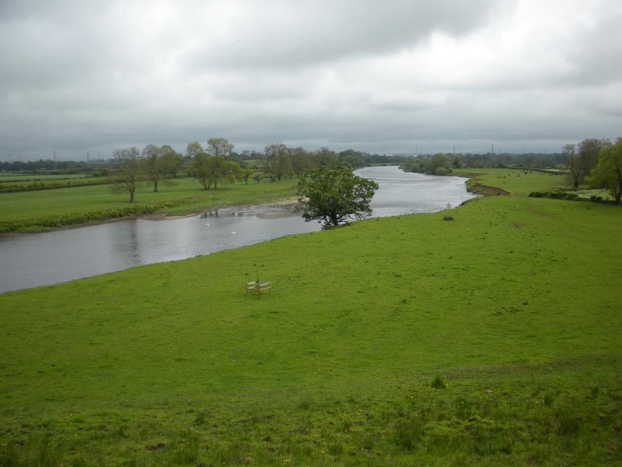
Seventh Day of Walking |
|
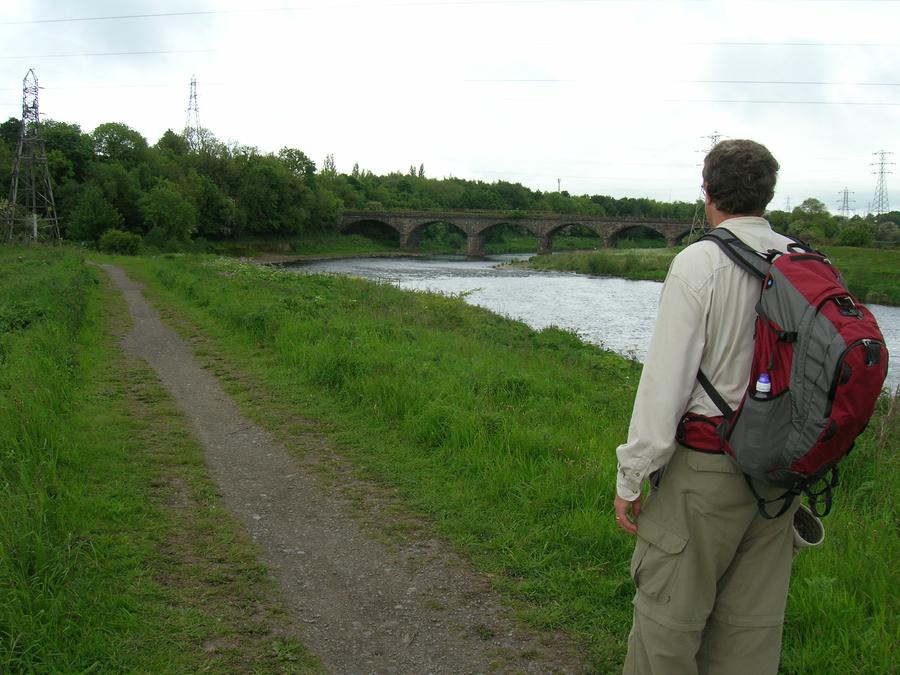
Seventh Day of Walking |
|
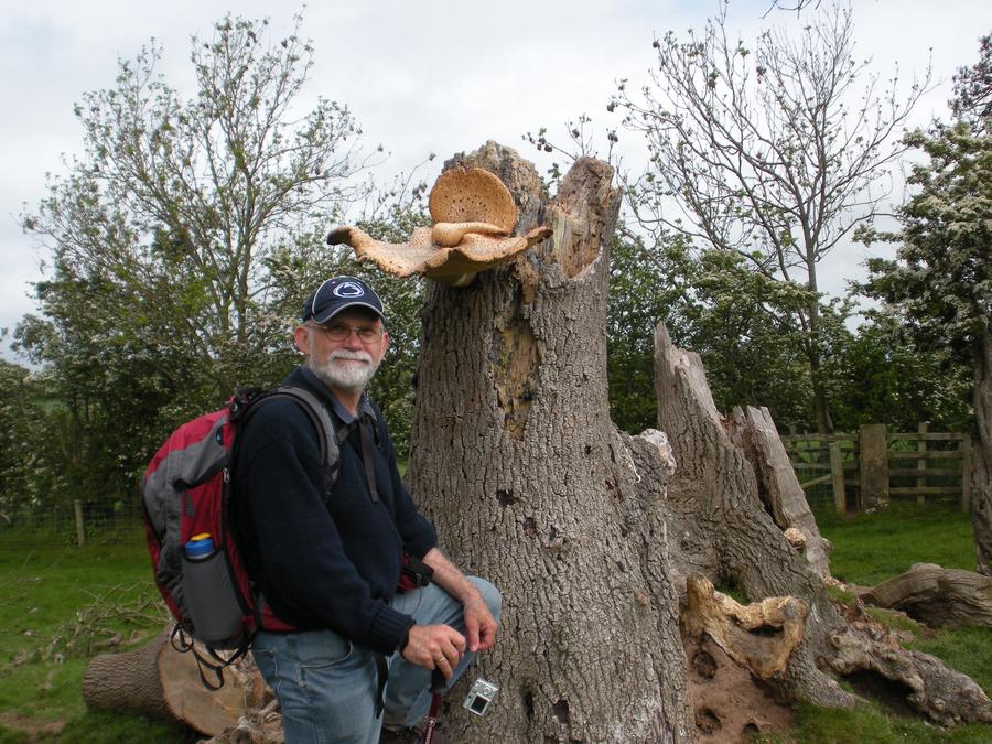
Seventh Day of Walking |
|
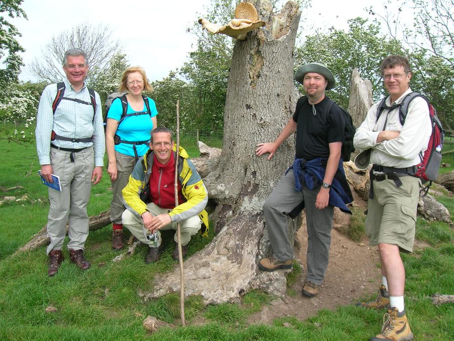
Seventh Day of Walking |
We again ran into the people we'd met several days before. |
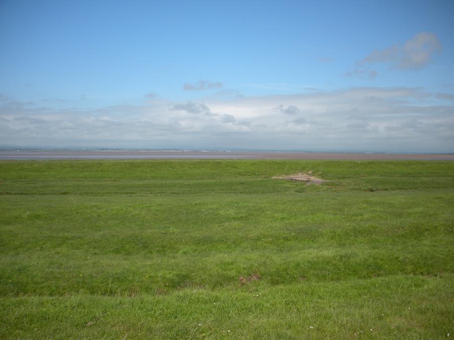
Solway Firth |
|
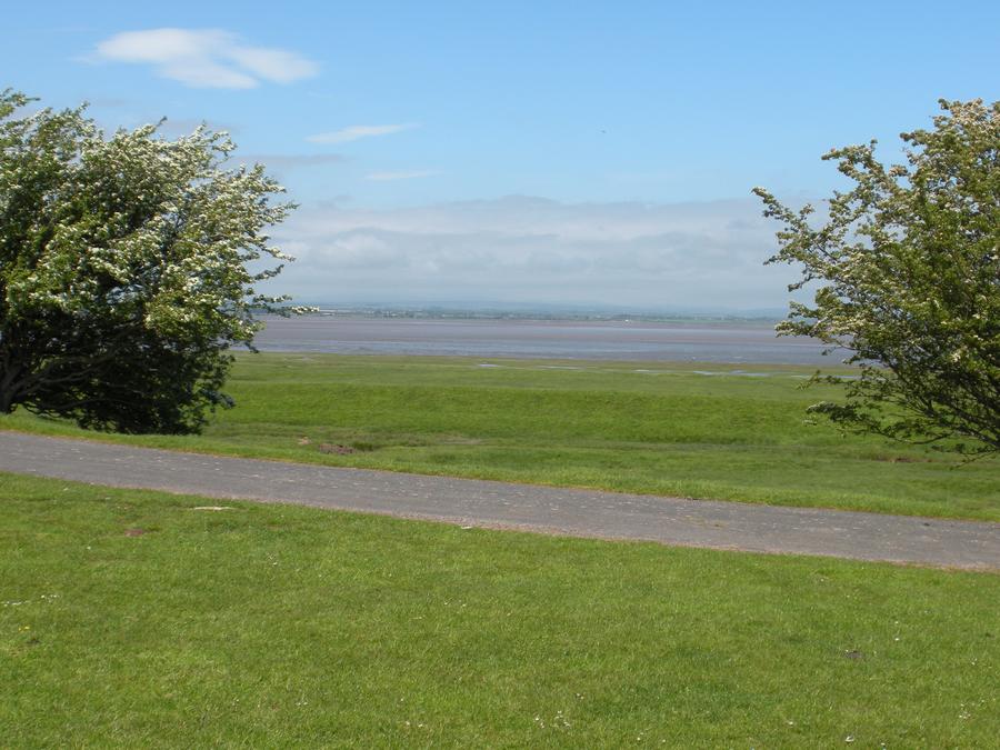
Solway Firth |
|
Port Carlisle |
|
Port Carlisle |
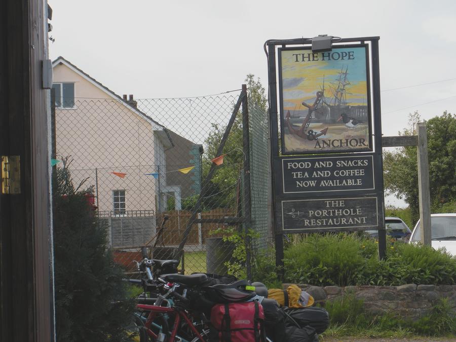
We stopped at the Hope & Anchor Pub for a drink. |
Bowness and the End of the Trail |
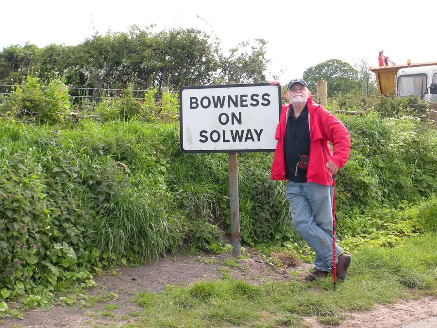
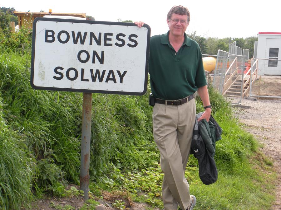
We made it to the end. |
Bowness and the End of the Trail |
|
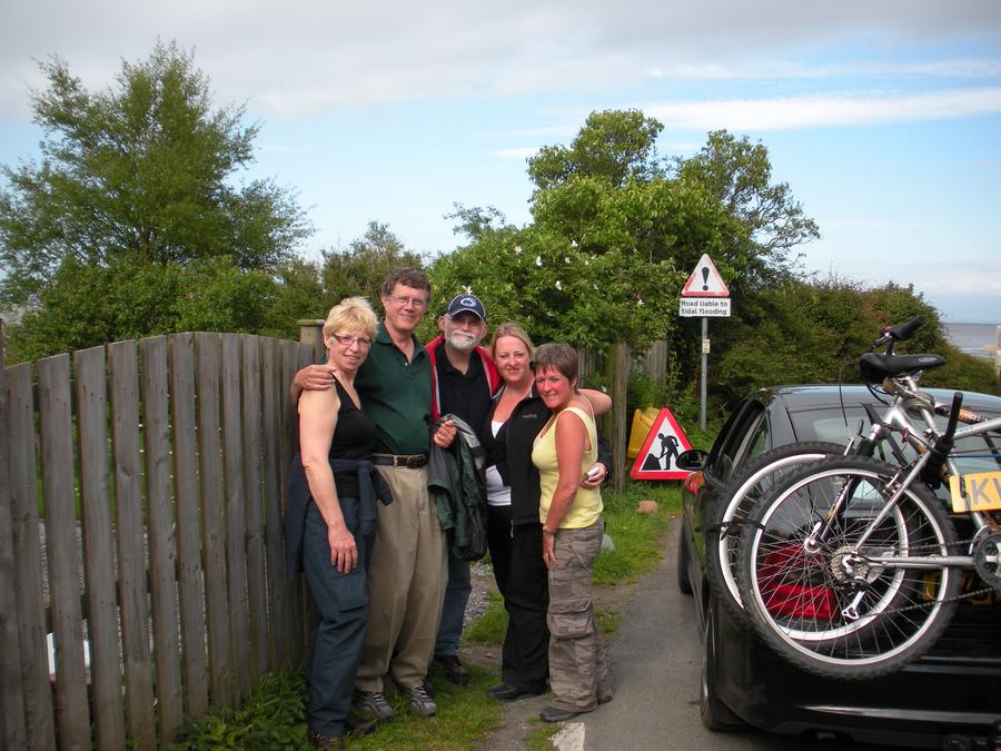
Bowness and the End of the Trail |
We were almost at the end of our trail when 2 cars came racing down the road with their horns blairing. I though we'd offended someone be violating some obscure British custom. But no, 3 ladies we'd met on the trail wanted to get a picture with us. |
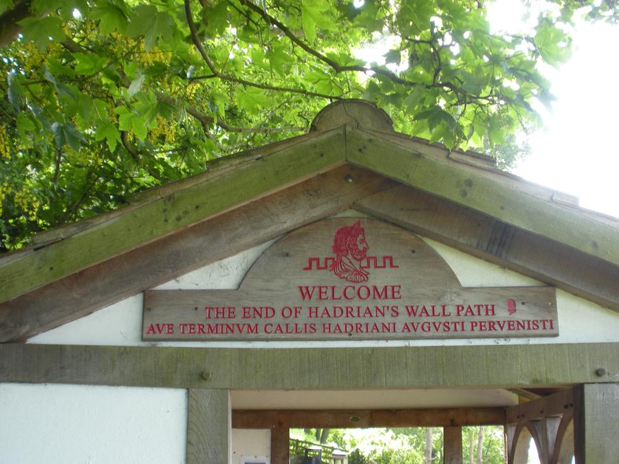
Bowness and the End of the Trail |
This is the "official" end of the trail sign in Bowness. |
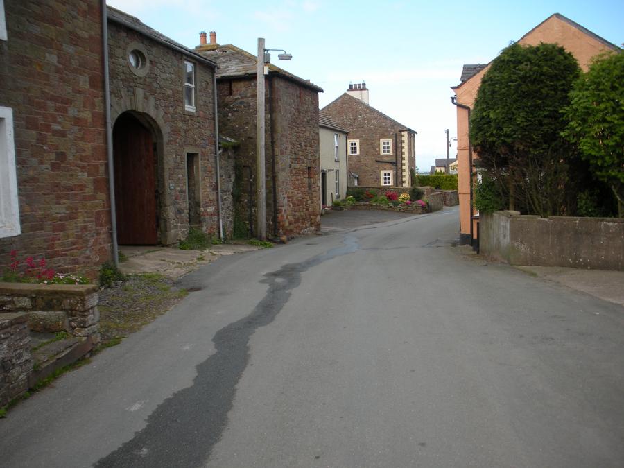
Bowness and the End of the Trail |
|
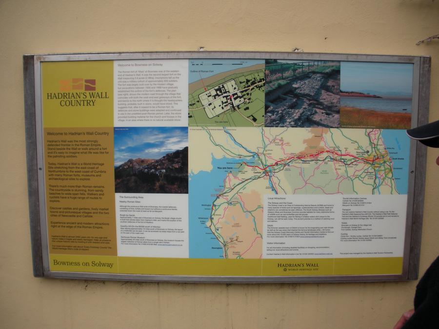
Bowness and the End of the Trail |
We had a drink at the Bowness pub then backtracked about a mile to our B&B in Port Carlisle. |
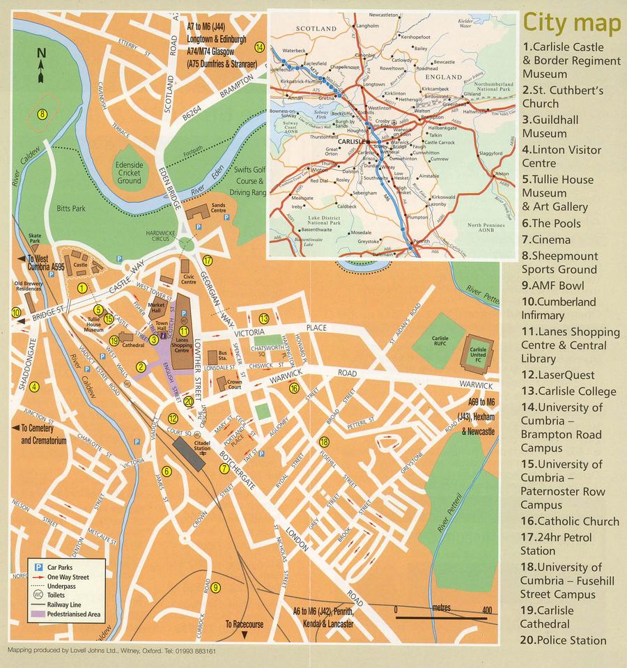
Carlisle Map |
The next morining we took the bus from Port Carlisle back to Carlisle. |
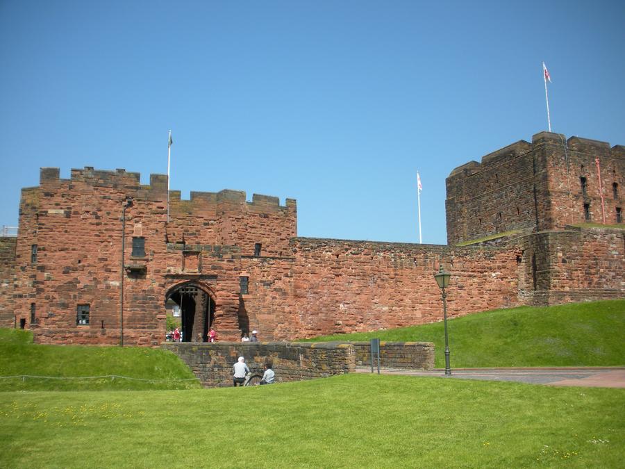
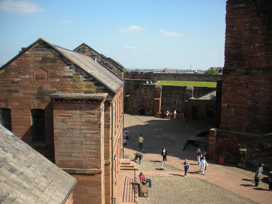
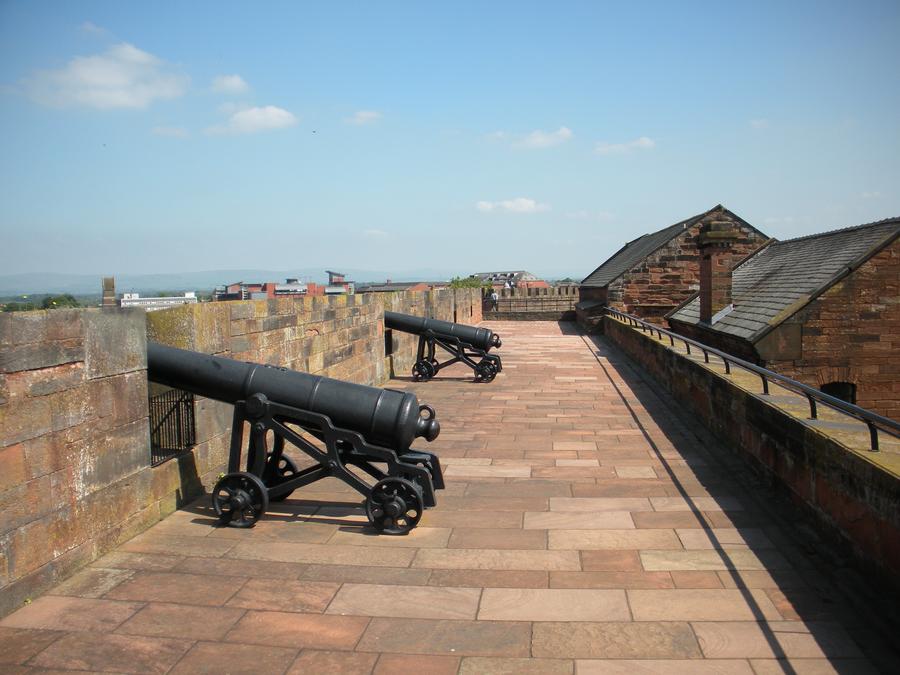
Carlisle Castle |
After checking in to the B&B, we headed for Carlisle Castle. |
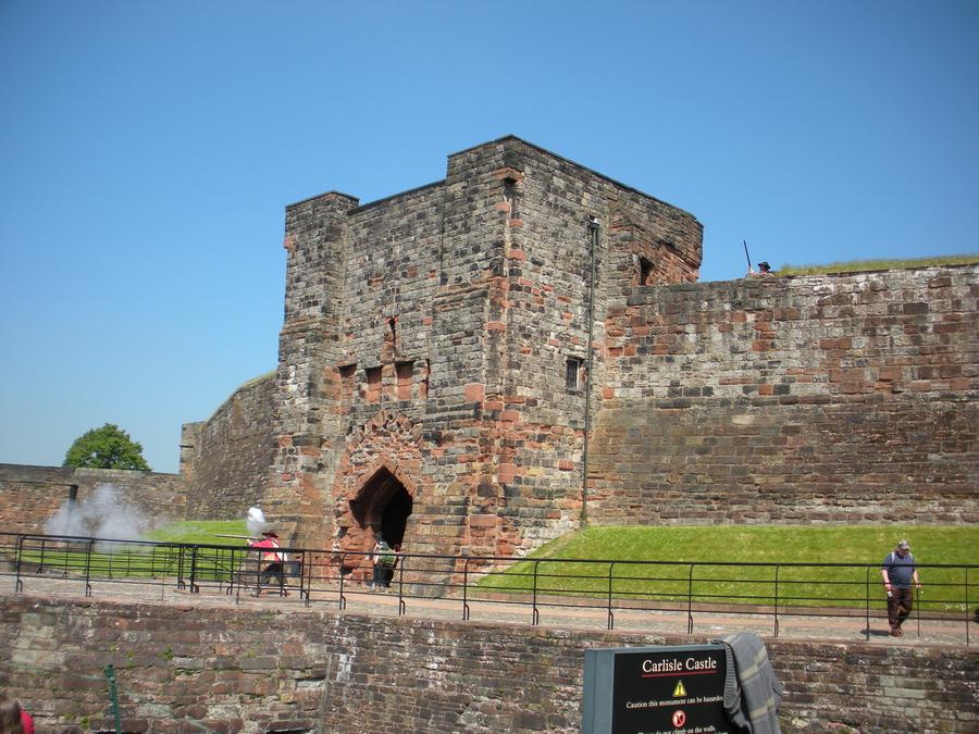
Carlisle Castle |
|
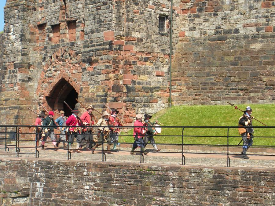
Carlisle Castle |
|
Carlisle Castle |
|
Carlisle Castle |
|
Carlisle Castle |
|
Carlisle Town Square |
|
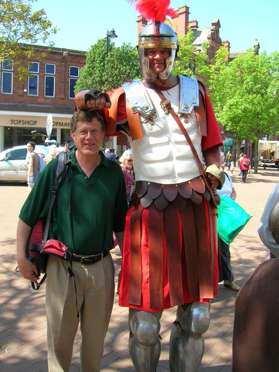
Carlisle Town Square |
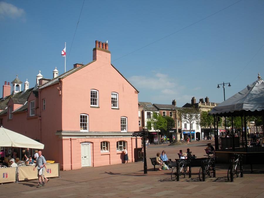
In the town square, we ran into a rather tall Roman. |
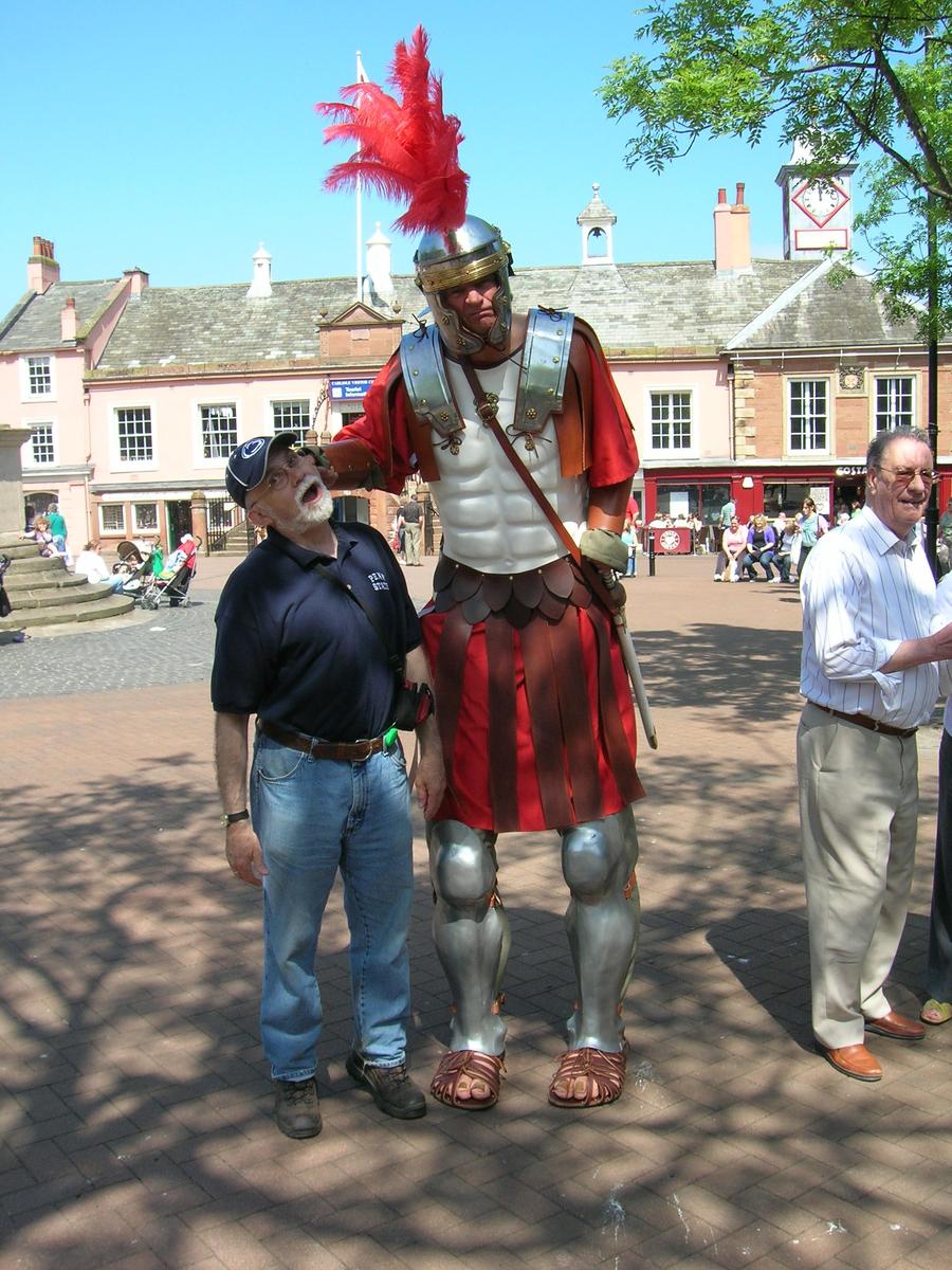
Carlisle Town Square |
|
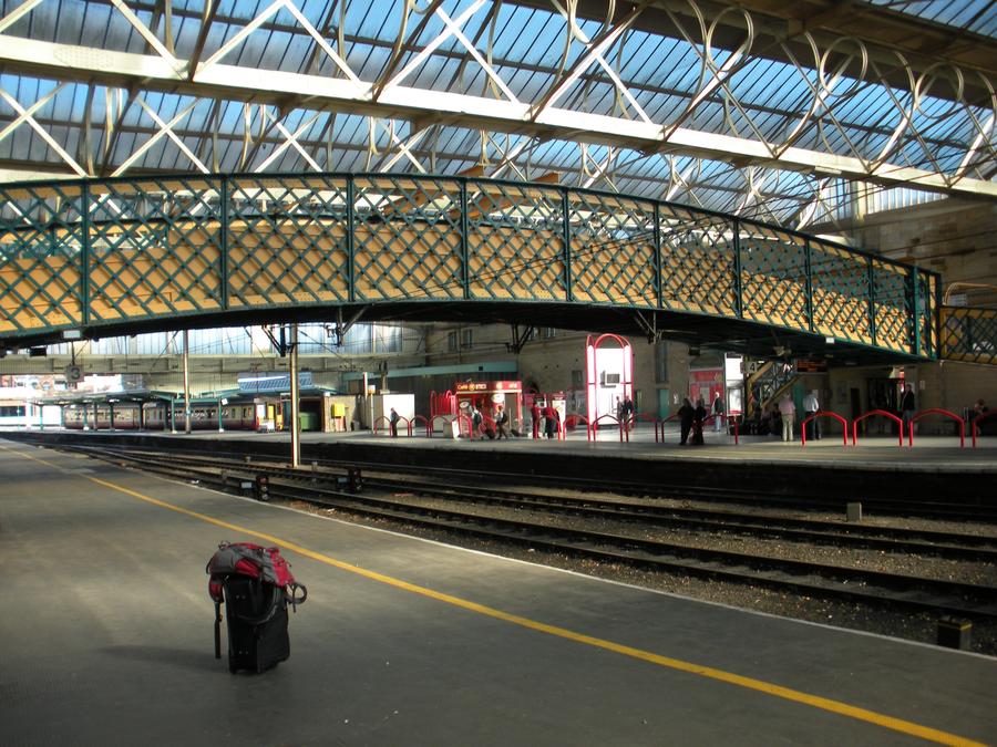
Carlisle Train Station |
That evening we again stayed in the Cambro House B&B. The next morning we took the train to York via Newcastle. |
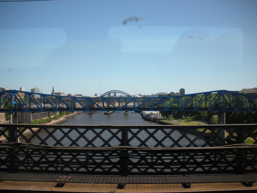
Back to Newcastle |
We arrived at Newcastle, passing over the river Tyne and the path we had started our walk on. |
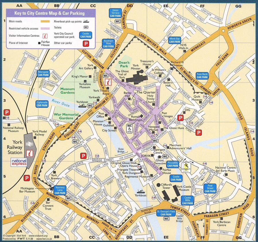
York Map |
We switched trains and headed for York, where we spent the next 2 days. |
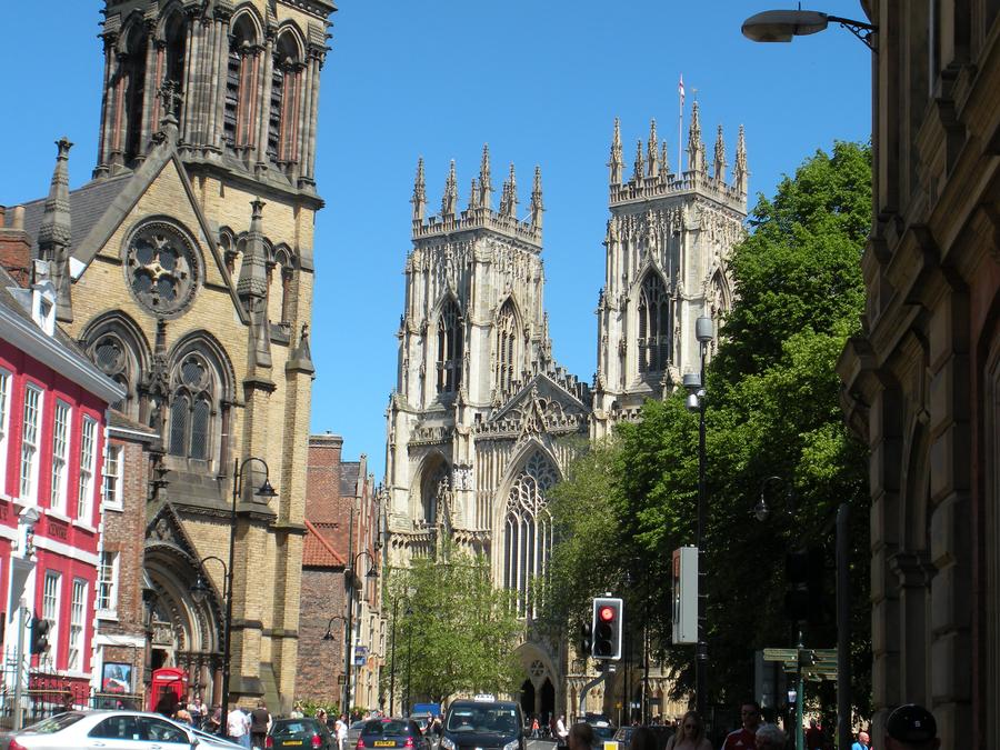
York |
The York Minster, on the left, is visible throuth out York. |
York |
|
York Minster |
|
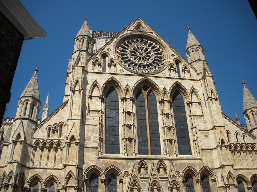
York Minster |
|
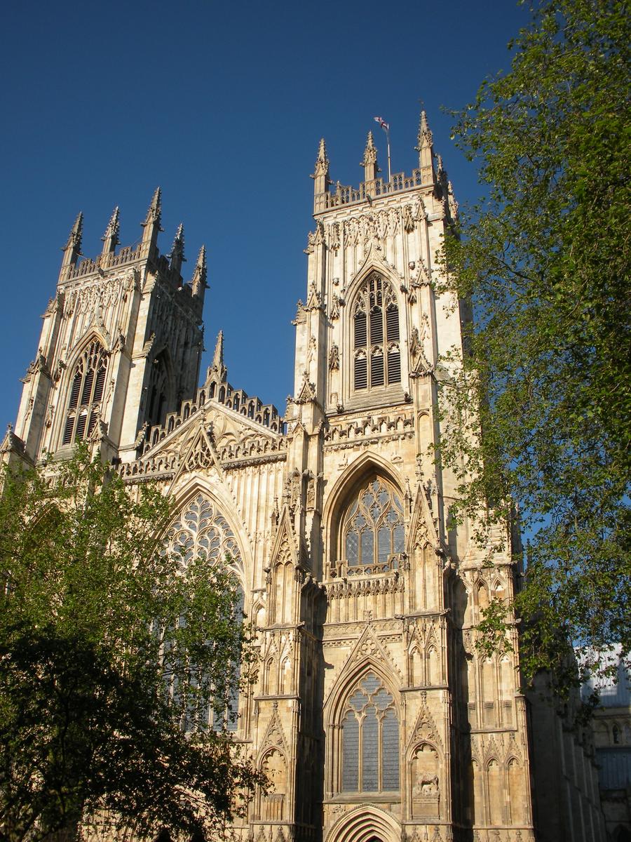
York Minster |
|
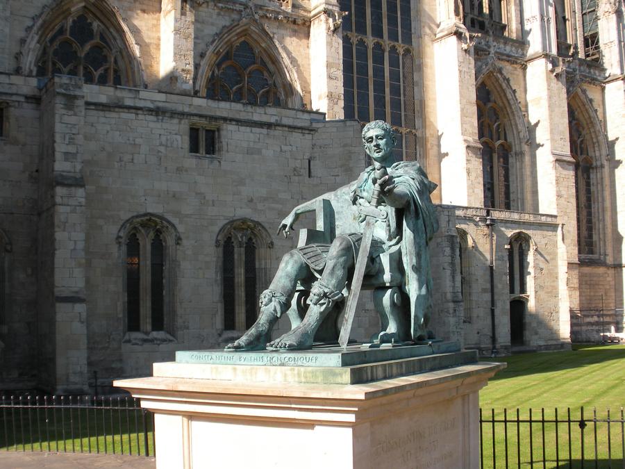
York Minster |
This is some Roman Emperor dude sitting outside the Minster. |
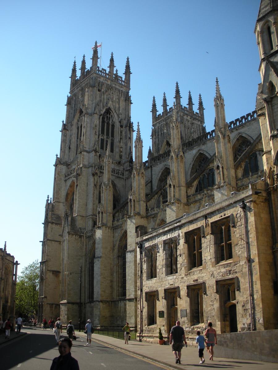
York Minster |
|
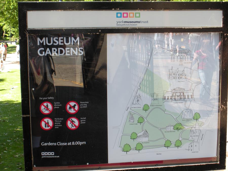
Museum Gardens |
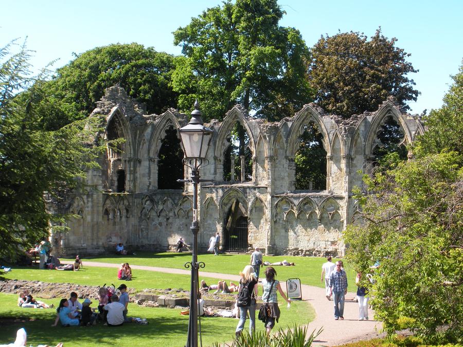
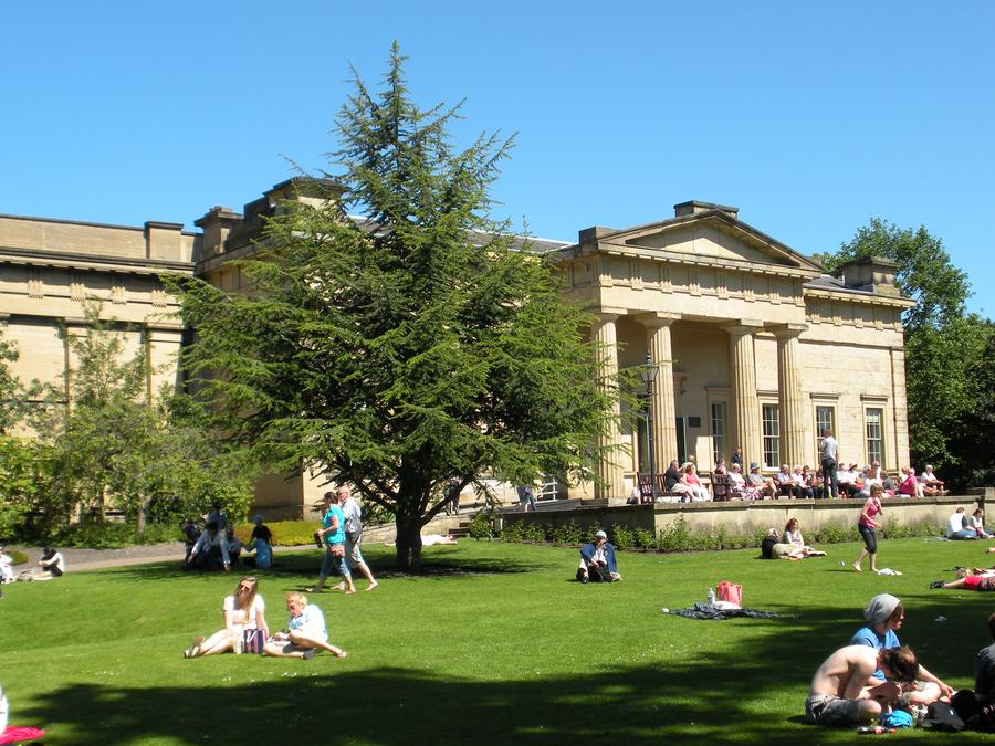
York started out as a Roman fort and then morphed into a medieval town surrounded by a wall expanded from the Roman fort. Museum gardens has a little of both, in addition to some museums we didn't have the time to visit. |
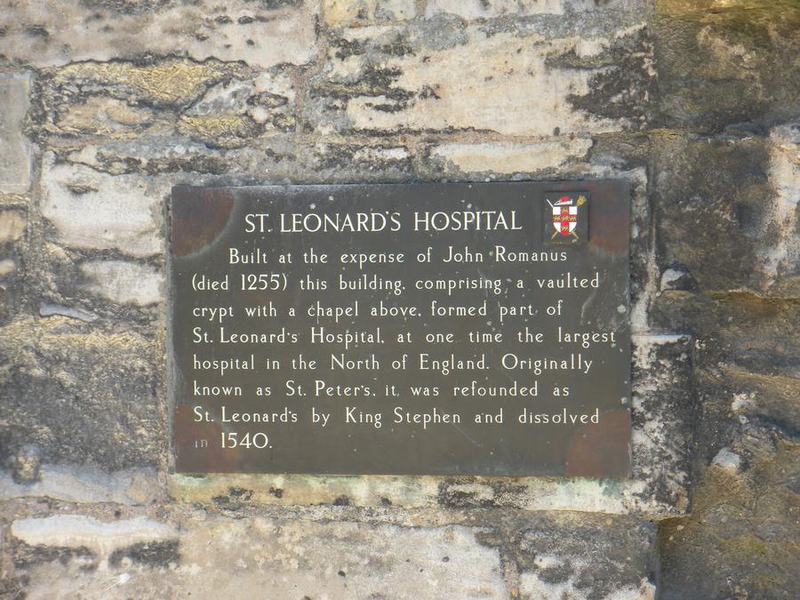
St. Leonard's Hospital in Museum Gardens |
|
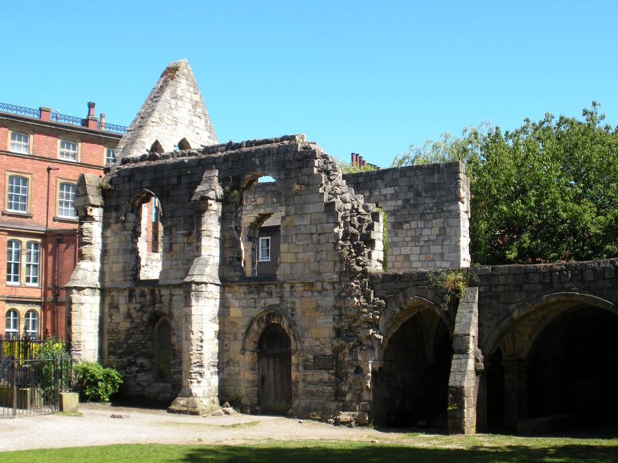
St. Leonard's Hospital in Museum Gardens |
|
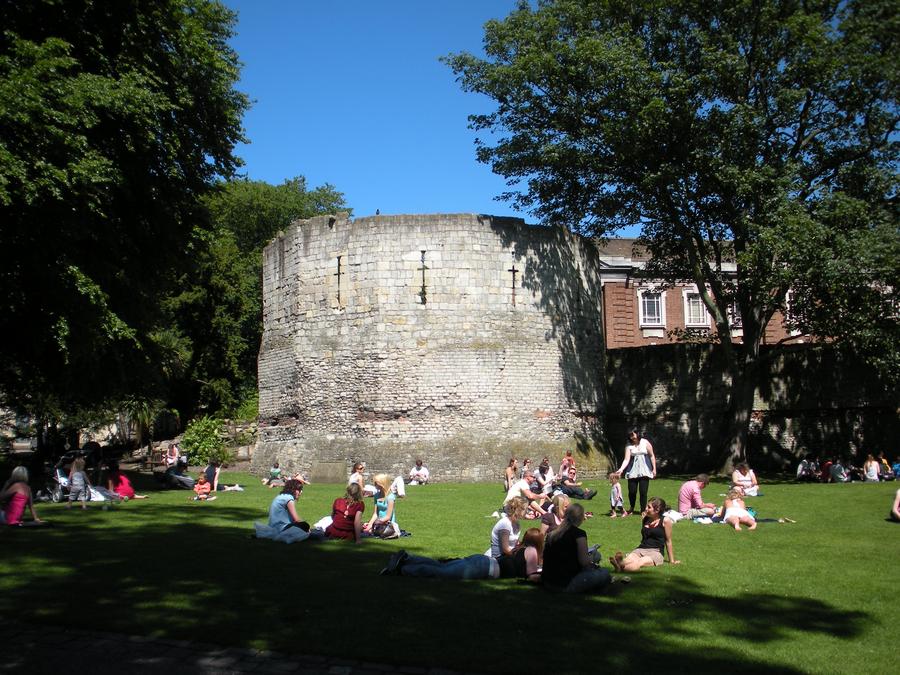
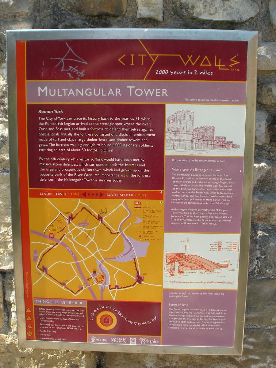
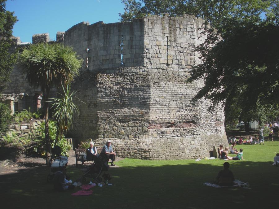
Multangular Tower in Museum Gardens |
The Multangular Tower started out as part of the Roman fort wall. The medieval town wall was built on top of the Roman fort wall ruins. |
Multangular Tower in Museum Gardens |
|
Multangular Tower in Museum Gardens |
|
Abby Ruins in Museum Gardens |
|
Yorkshire Museum in Museum Gardens |
|
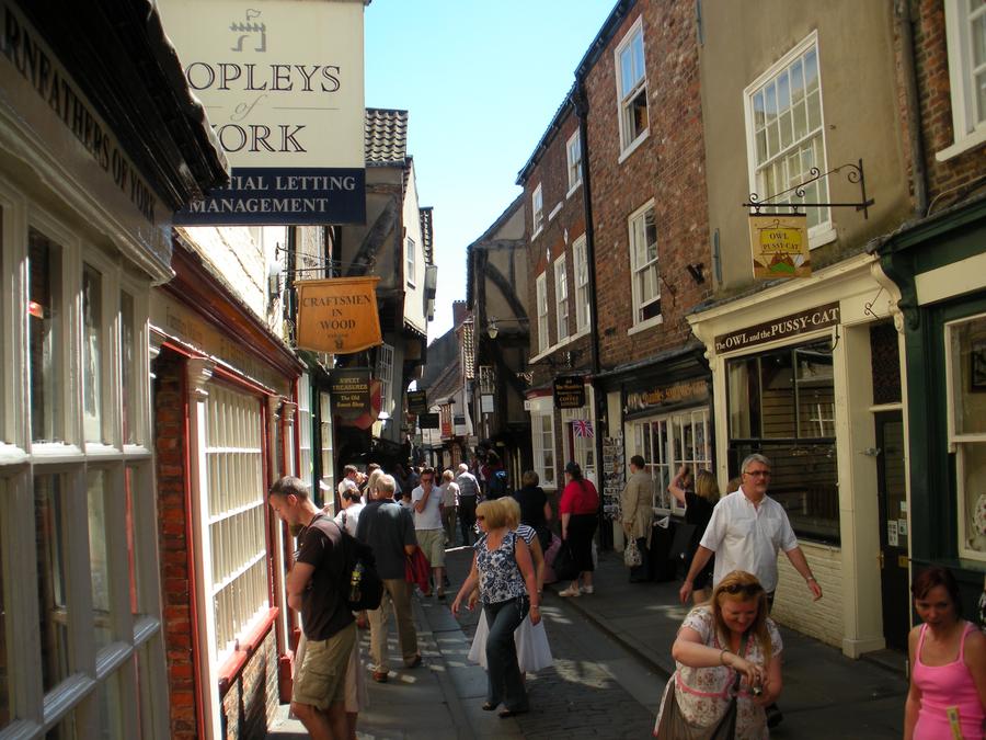
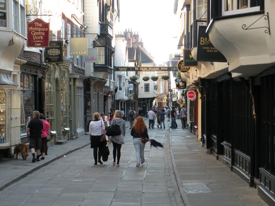
York Old Town |
York has an extensive old town. |
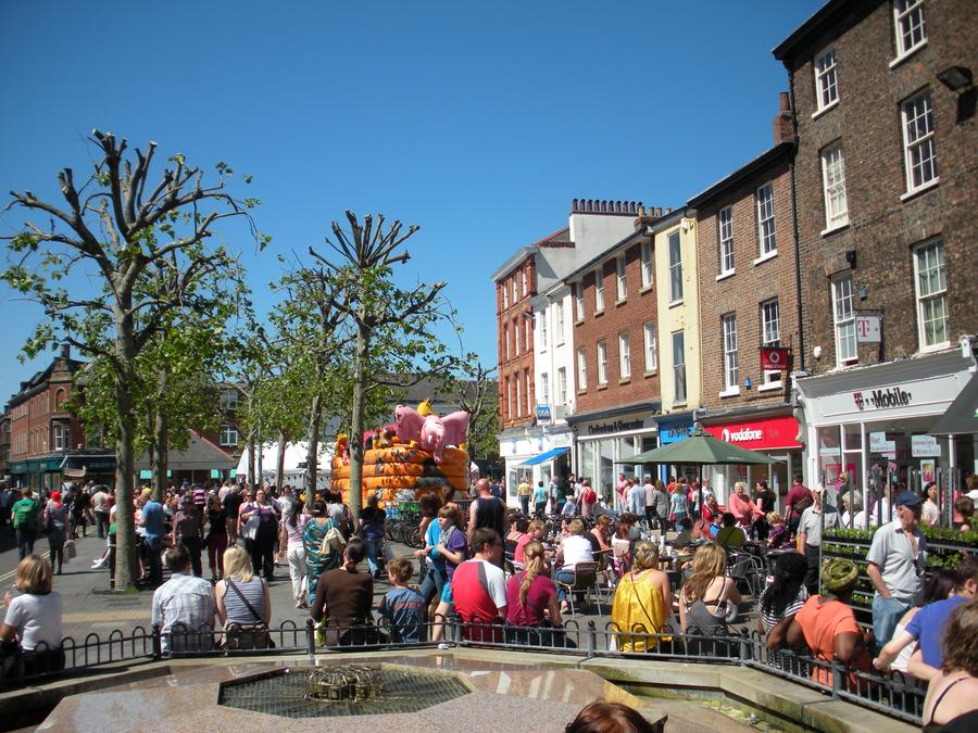
York Old Town Square |
|
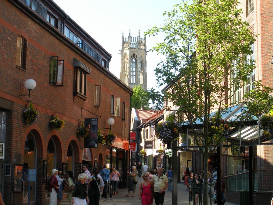
York Old Town |
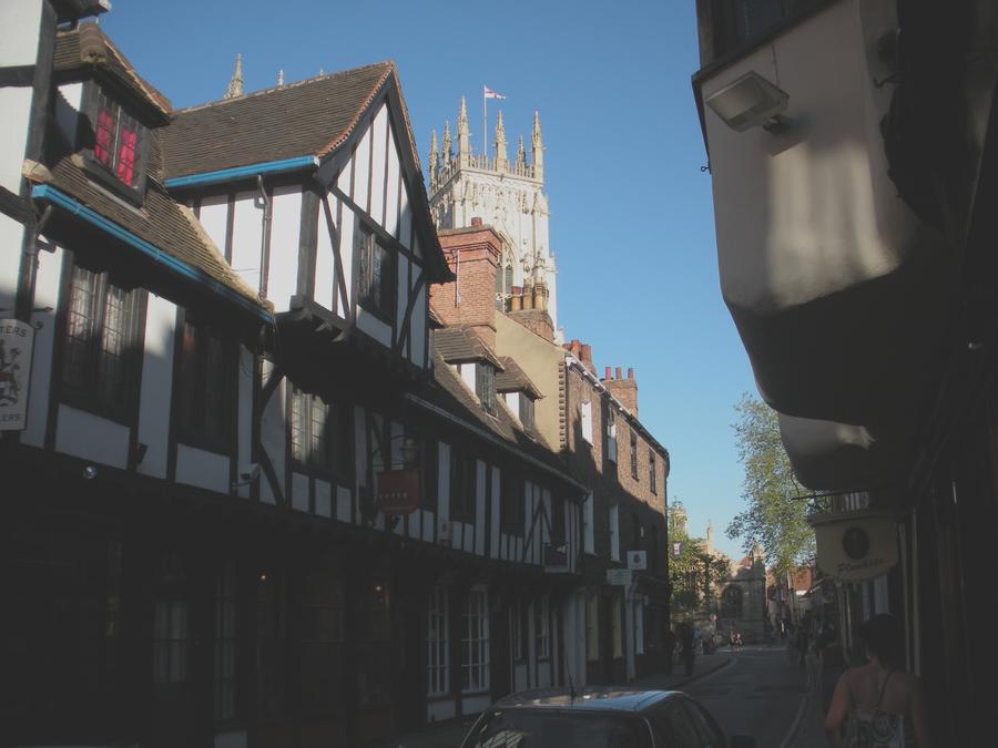
This is another old town street with a tower of the York Minster in the back ground. |
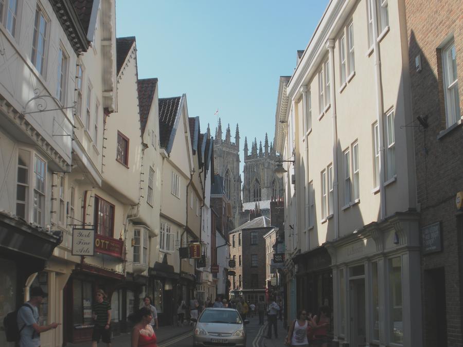
York Old Town |
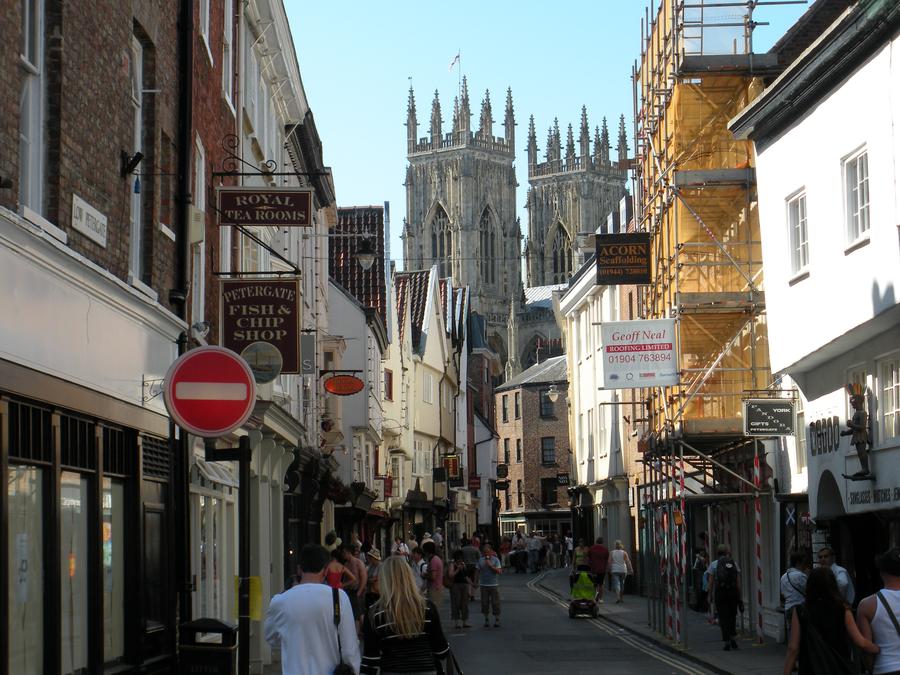
This is another old town streen with a different set of towers of the York Minster. |
York Old Town |
|
York Old Town |
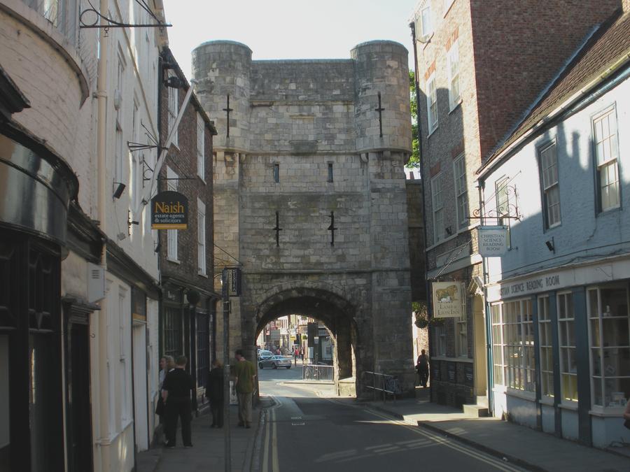
This is one of many gates in the medieval wall leading out of old town. |
York Old Town |
|
York Old Town |
|
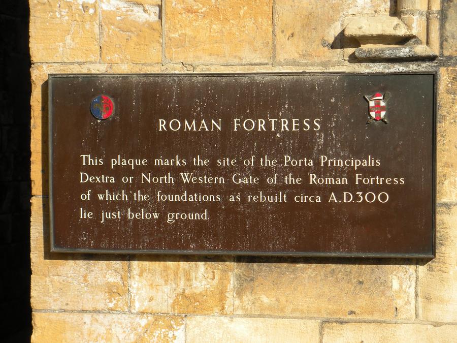
York Old Town Gate |
|
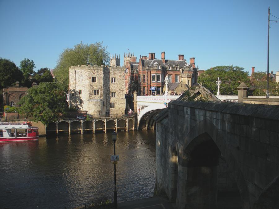
River Ouse at York |
York sits at the junction of the River Ouse and the smaller river Foss. |
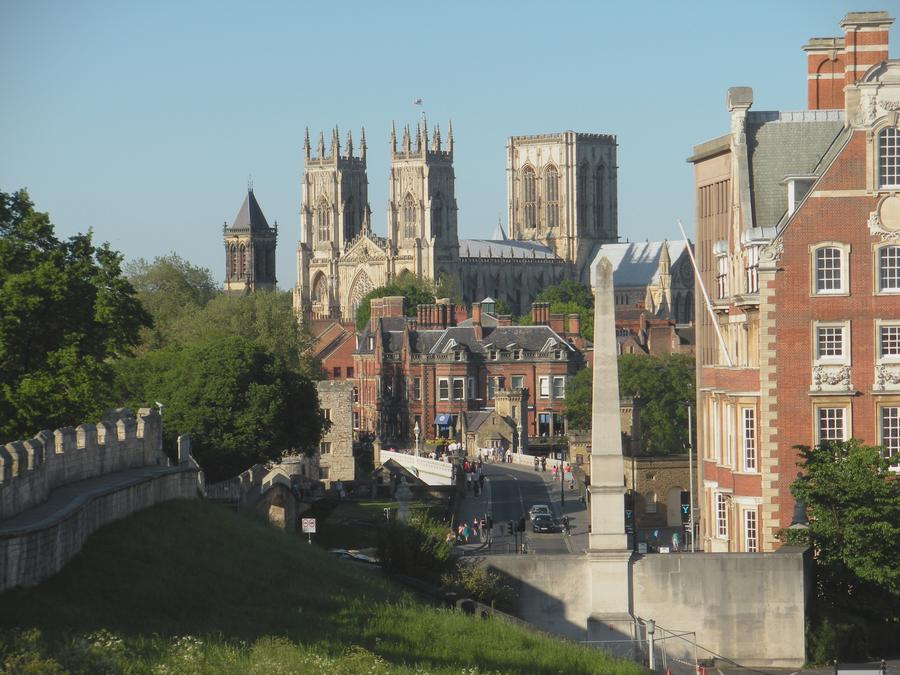
York Medieval Town Wall |
About half of the medieval town wall has been maintained, with a walkway on top. Here is another view of the York Minster from a section of wall on the southern end of town. |
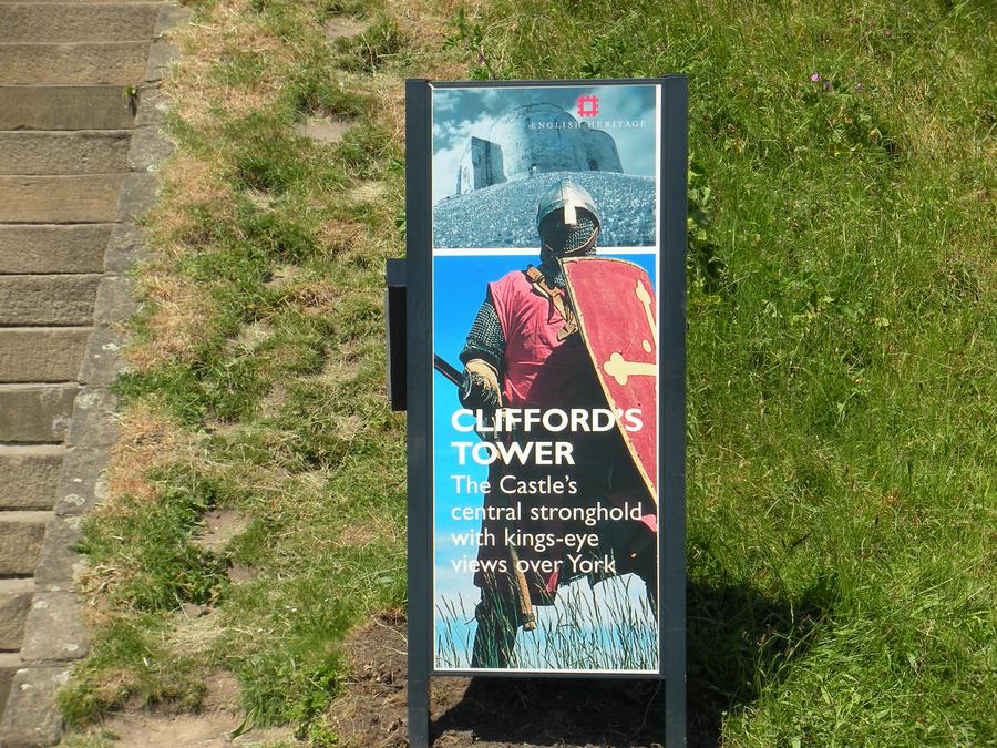
Clifford's Tower in York |
|
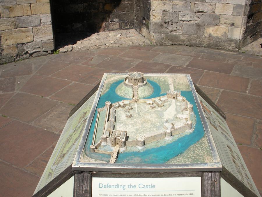
Clifford's Tower in York |
This model shows the medieval castle tower sitting on a man made hill next to a small town, all surrounded by a mote. Only the tower survives today. |

Clifford's Tower in York |
|
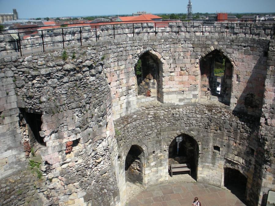
Clifford's Tower in York |
This shot looks down into the interior of the tower from the top of the wall. |
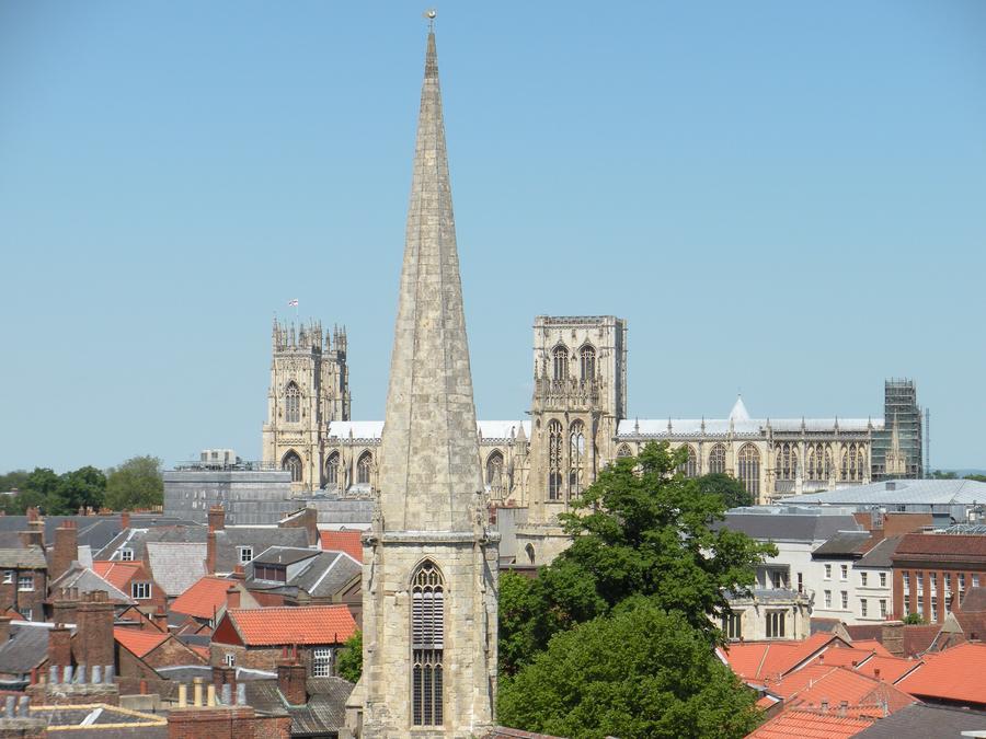
Clifford's Tower in York |
This is another view of the York Minster from the top of Clifford's Tower. Although, you can't tell, old town lies directly between. |
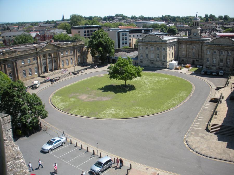
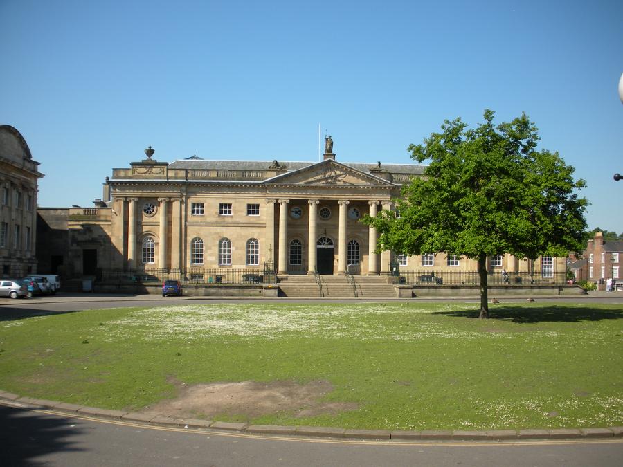
Clifford's Tower Museum |
This is a shot of Clifford's Tower Museum from the top of Clifford's Tower. |
Clifford's Tower Museum |
|
Clifford's Tower Museum |
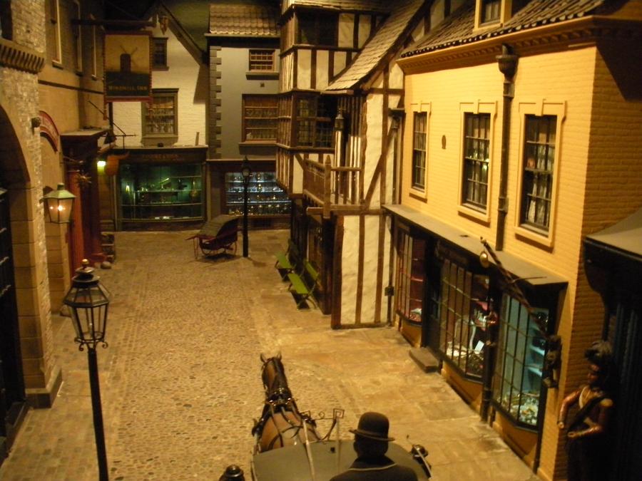
We visited the Museum, which is dedicated to British history. Here is a reproduction of an Elizabethan Street. |
Clifford's Tower Museum |
|
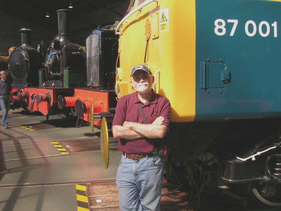
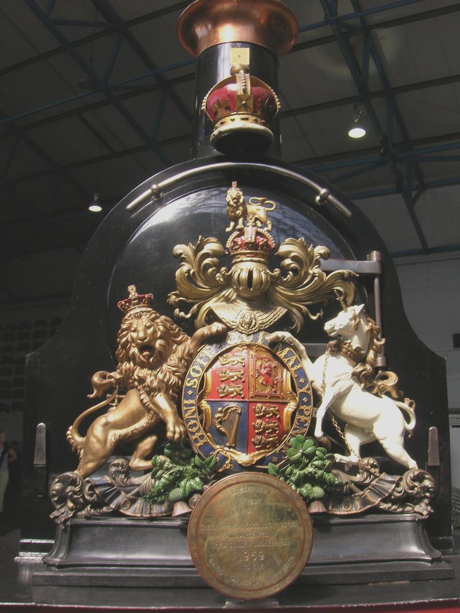
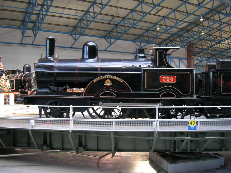
York Train Museum |
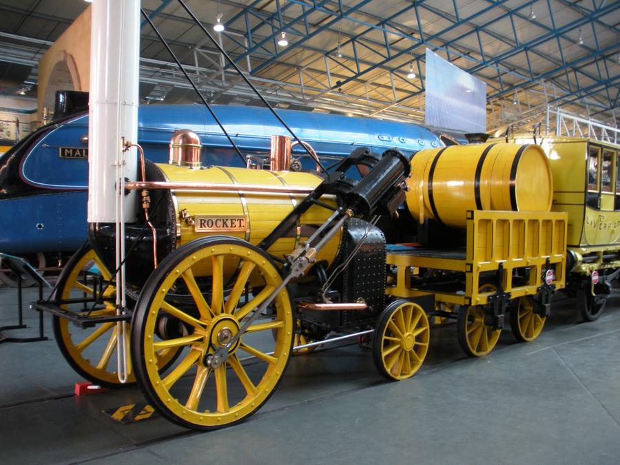
On our second day, we visited the train museum. Len stayed quite a while, and I went out to again wander around the town. |
York Train Museum |
|
York Train Museum |
|
York Train Museum |
|
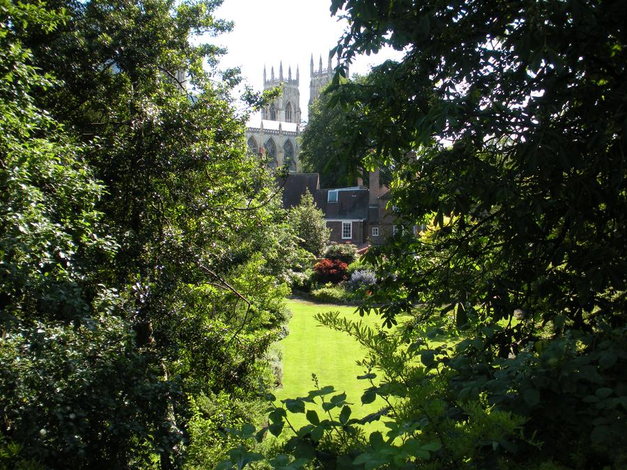
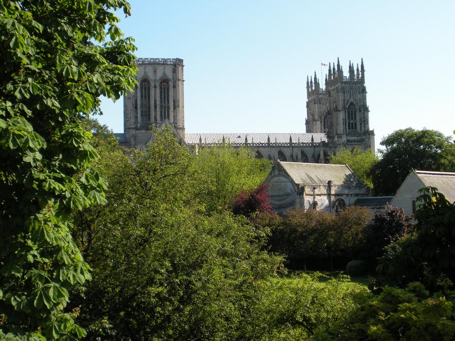
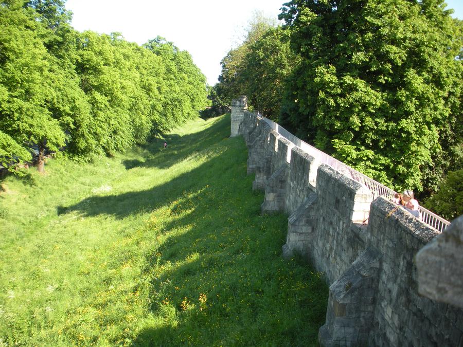
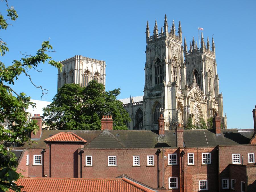
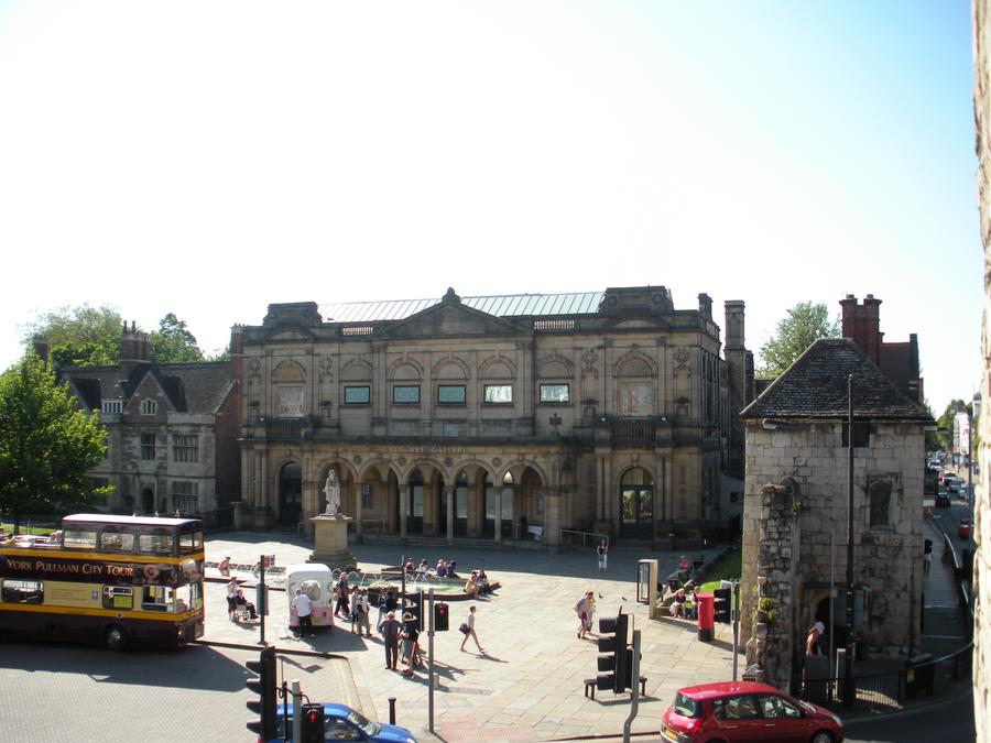
York Old Town Wall |
I ended up walking the northern section of the town wall. Here is yet another shot of the York Minstry from the wall. |
York Old Town Wall |
|
York Old Town Wall |
|
York Old Town Wall |
|
York Old Town Wall |
|
York |
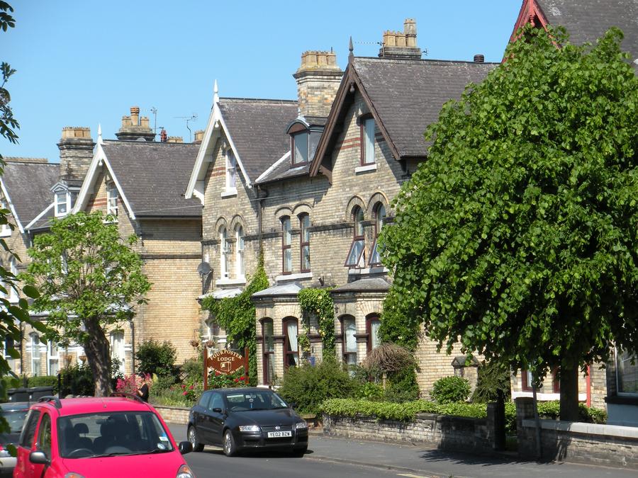
We stayed at the Four Poster Lodge for our 2 nights in York. It was about a half mile from old town. |
York Train Station |
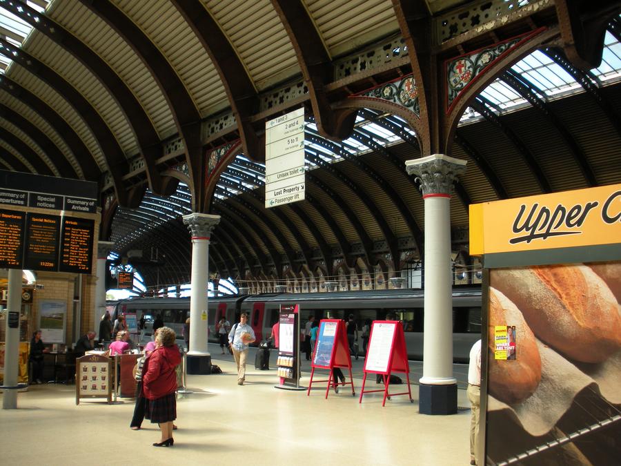
The next morning we walked to the train station and caught a train to Duram. |
Durham Map |
|
Durham |
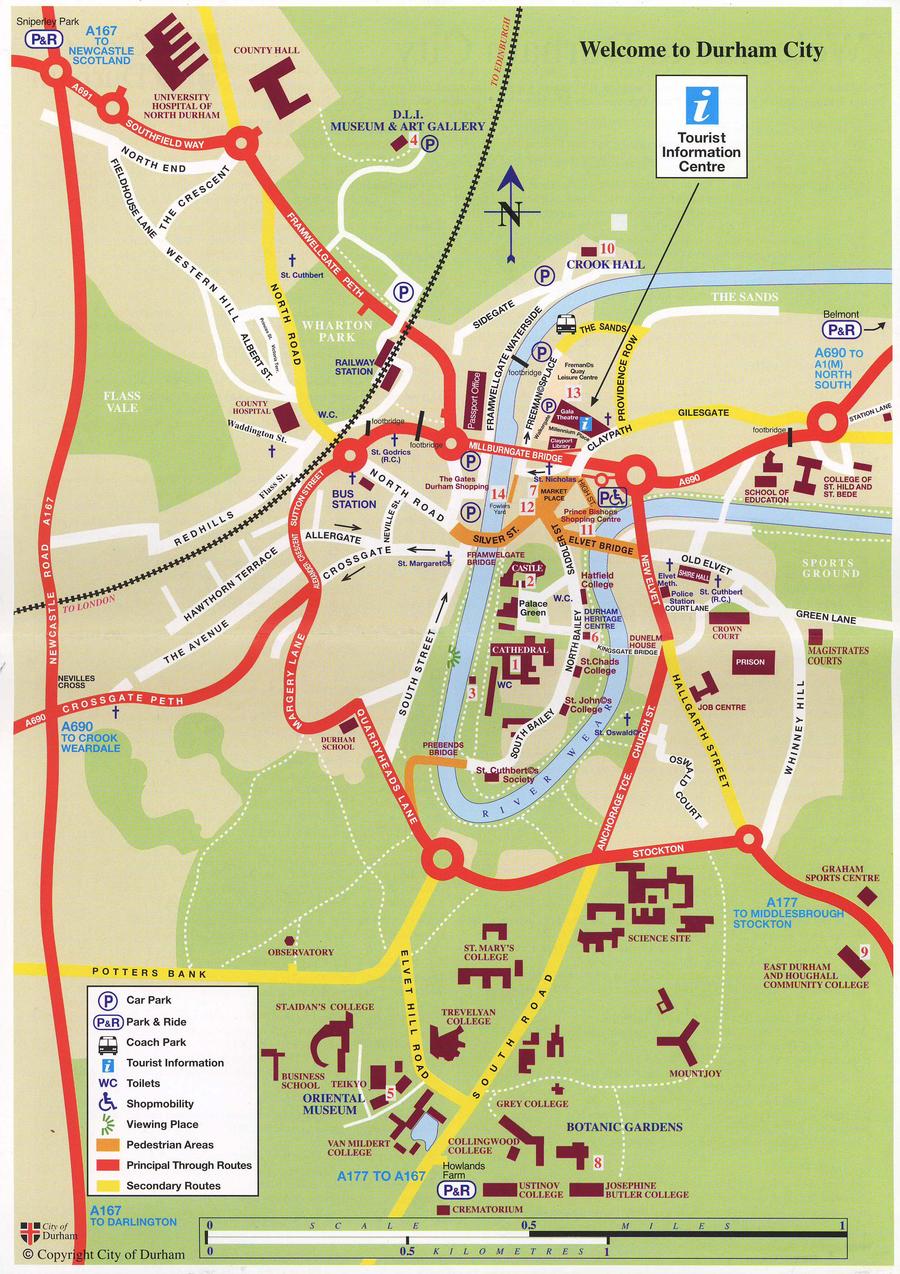
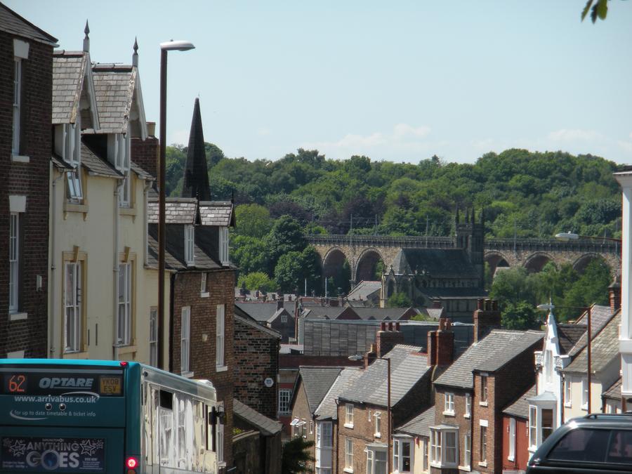
We arrived in Durham, and then walked to our B&B. Here we're almost at the B&B and you see the train bridge in the back ground. The station is out of the picture to the right. |
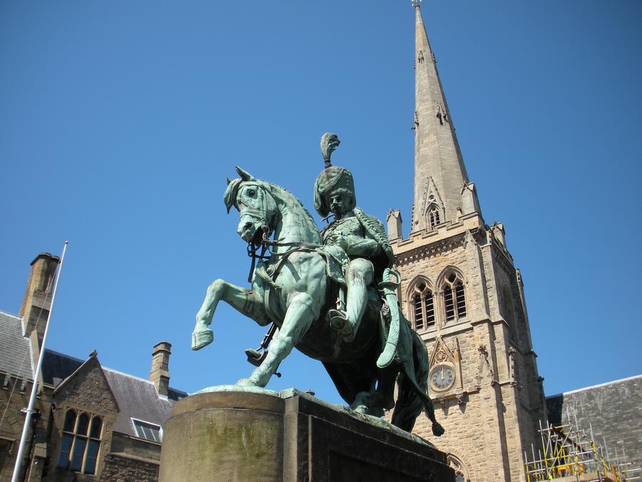
Durham Town Square |
This is a statue of Charles William Vane Stewart in the town square. The problem with British history is that there is so much of it, so I'm not exactly sure what Chuck did. |
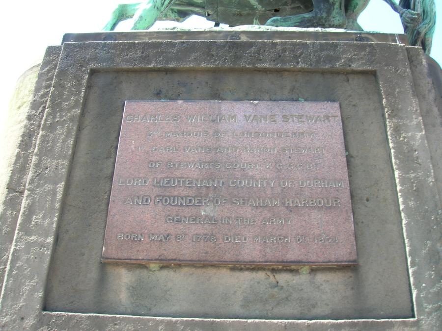
Durham Town Square |
|
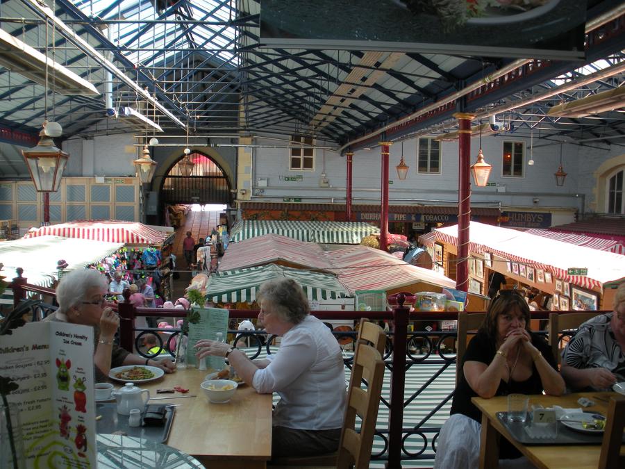
Durham Town Square |
This is a small indoor mall directly of town square. |
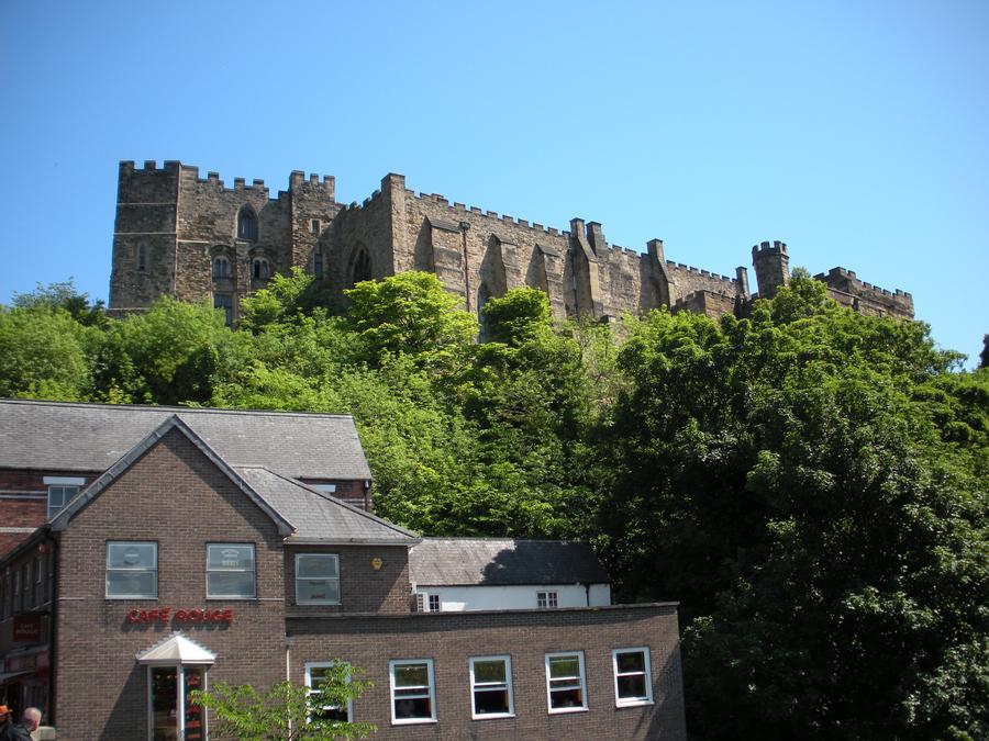
Durham Castle |
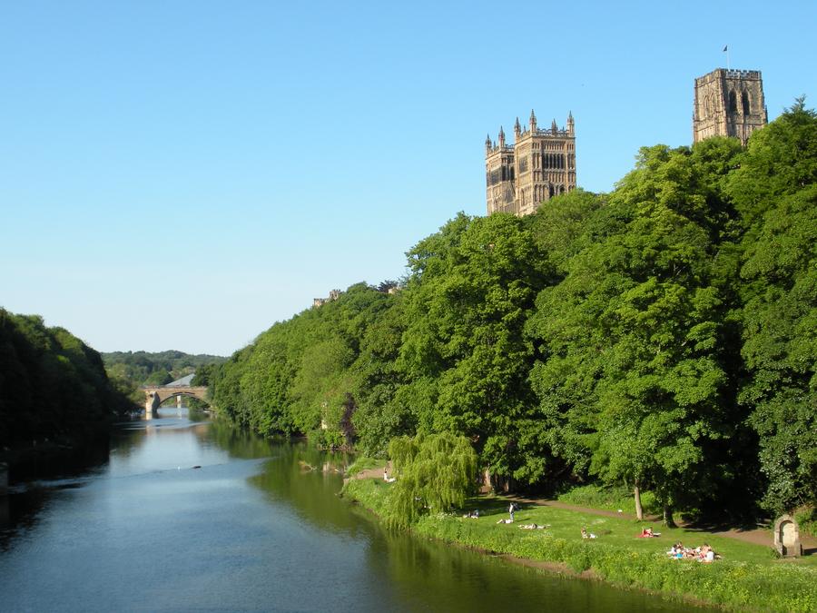
Durham Castle and Durham Cathedral sit on a bluff on the inside of a sharp bend of the River Wear. This is a shot of the Castle from a bridge crossing the river. |
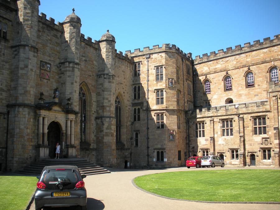
Durham Castle Inner Courtyard |
|
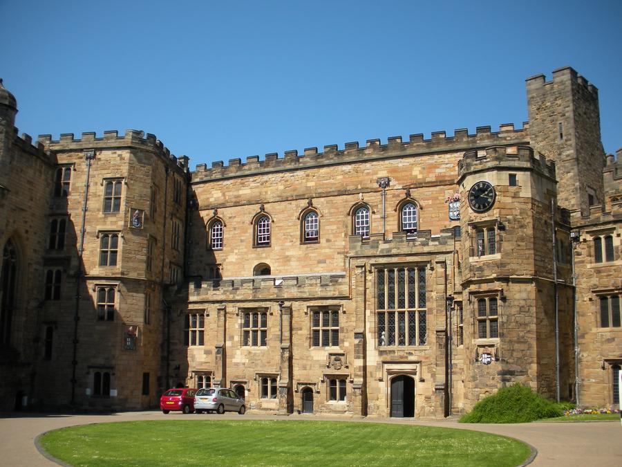
Durham Castle Inner Courtyard |
|
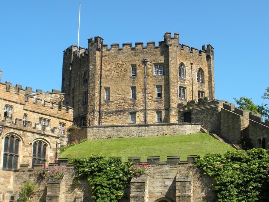
Durham Castle Inner Keep |
The inner keep is sort of a castle within a castle. It's the last place of refuge after the barbarians breached the outter wall. It's now actually a dorm for Durham University. |
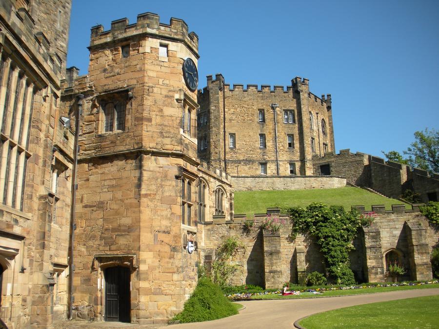
Durham Castle Inner Courtyard |
|
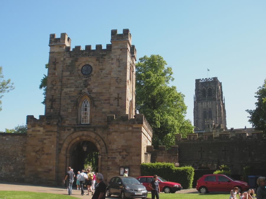
Durham Castle |
|
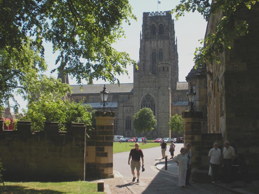
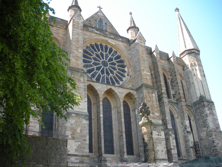
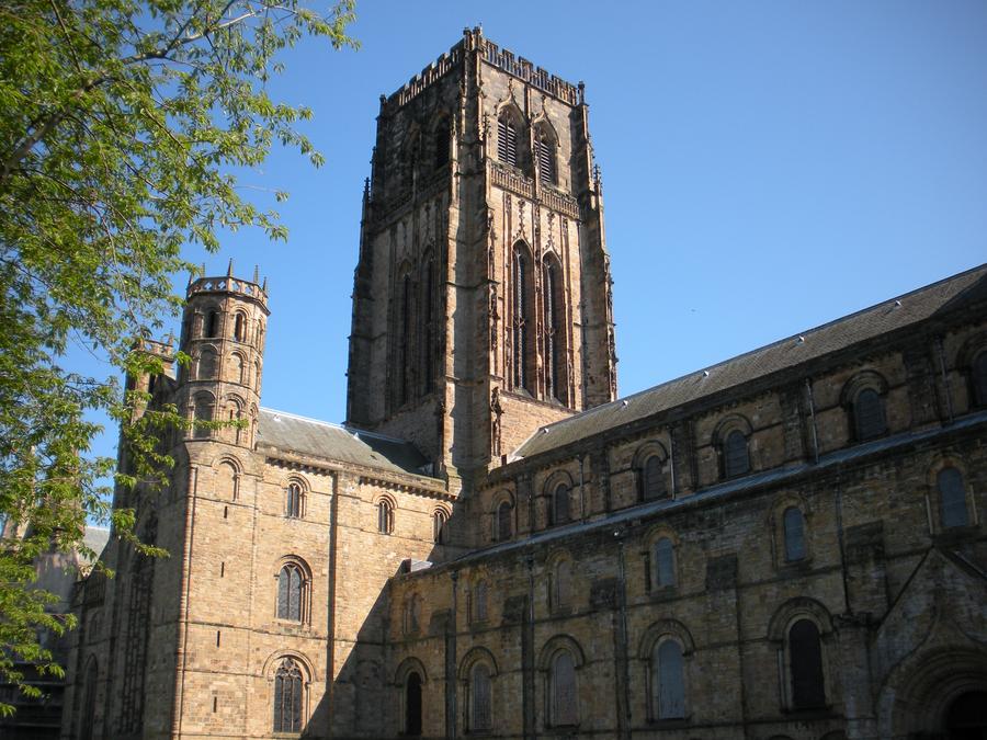
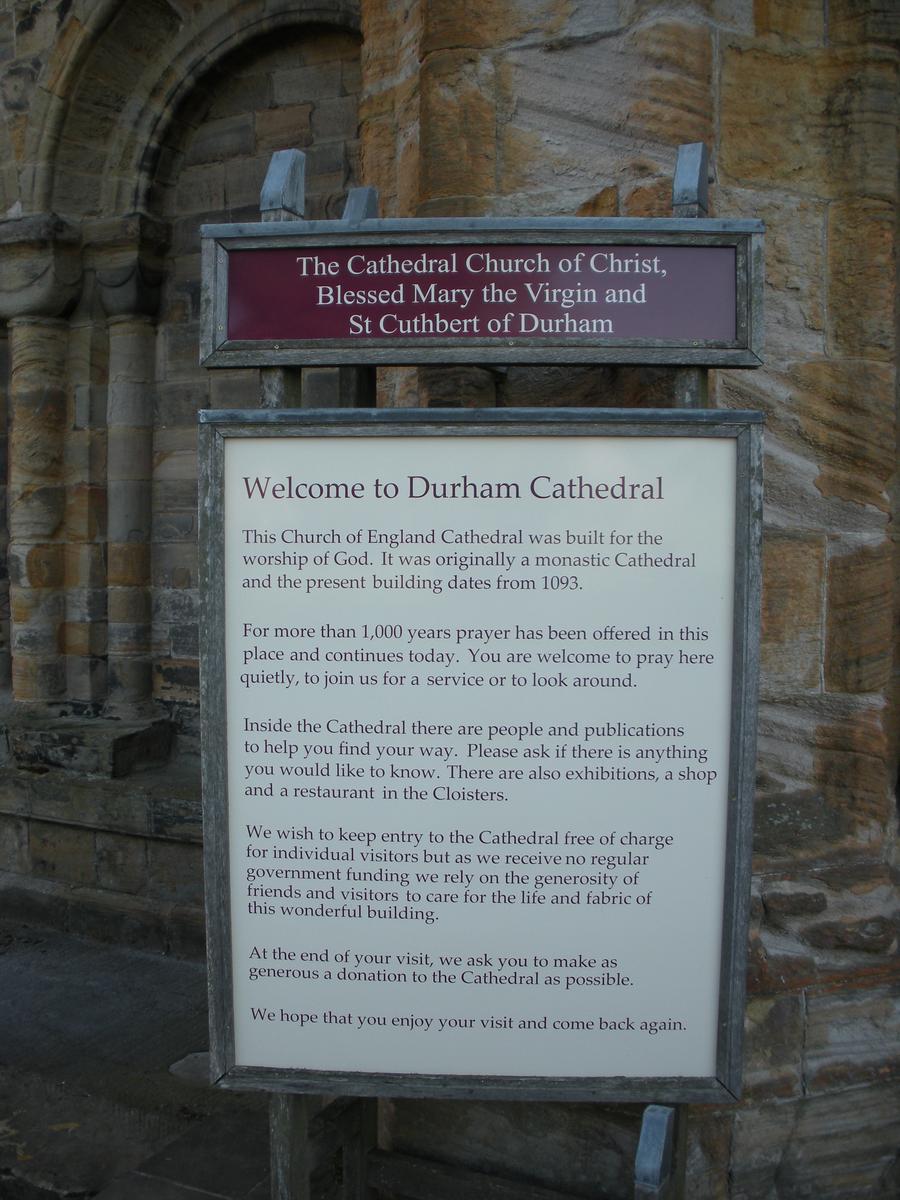
Durham Cathedral |
This is Durham Cathedral as seen from the Castle gate, with Len in the forground. |
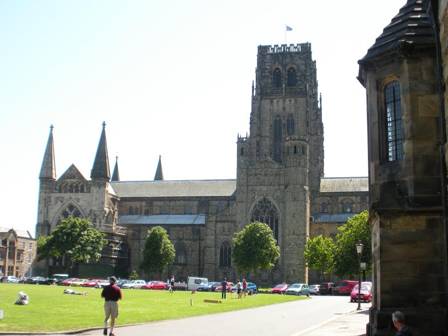
Durham Cathedral |
|
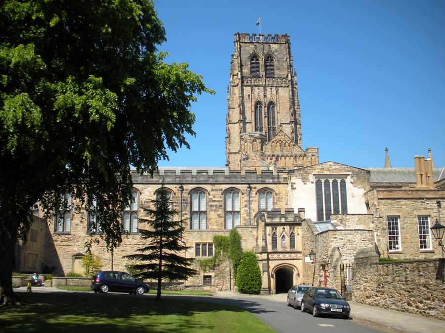
Durham Cathedral |
|
Durham Cathedral |
|
Durham Cathedral |
|
Durham Cathedral |
|
River Wear |
|
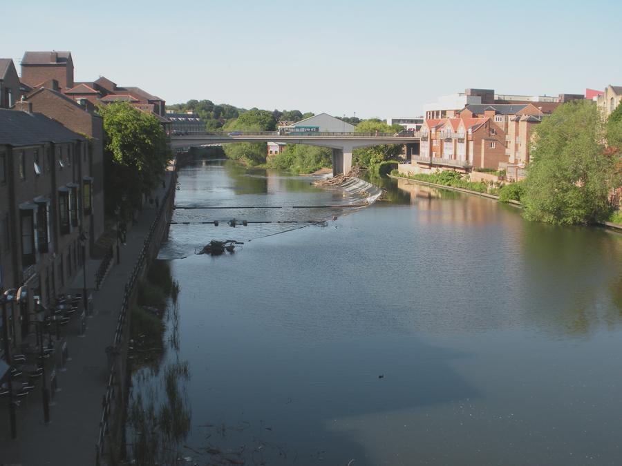
River Wear |
|
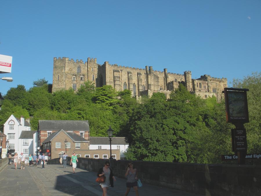
Durham Castle |
|
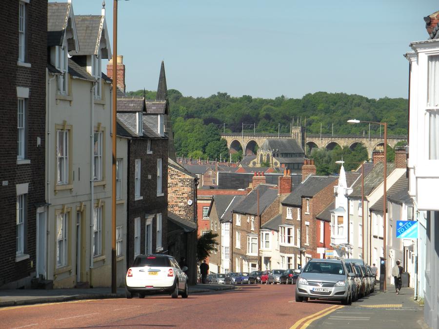
Durham |
We're heading back to the B&B |
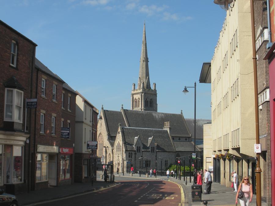
Durham |
The next day, we're walking through the modern down town that lies between our B&B and the old town with the castle and cathedral. |
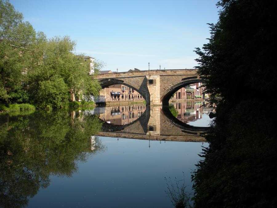
River Wear |
|
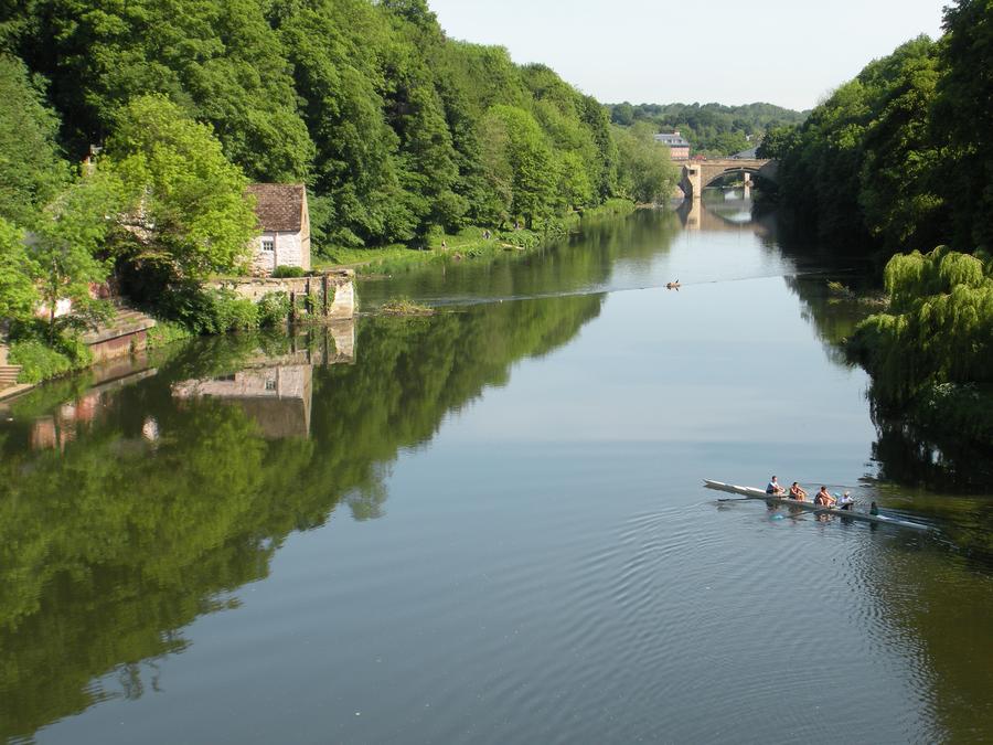
River Wear |
|
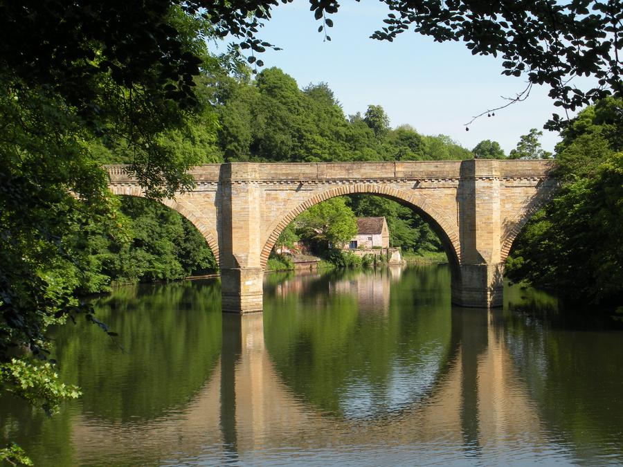
River Wear |
There are walking paths on both sides of the river below the bluff where the castle and cathedral sit. The paths are very isolated from the rest of the town and extremely pretty. |
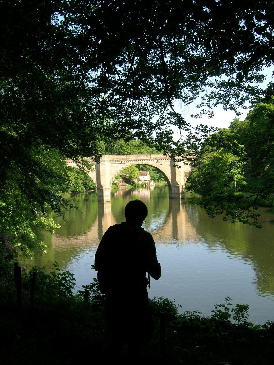
River Wear |
|
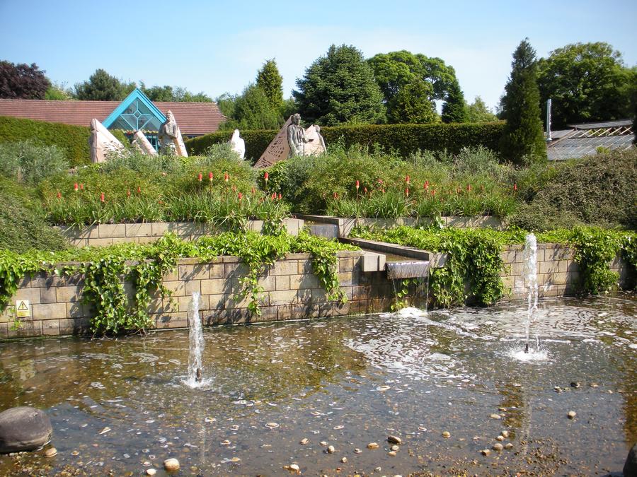
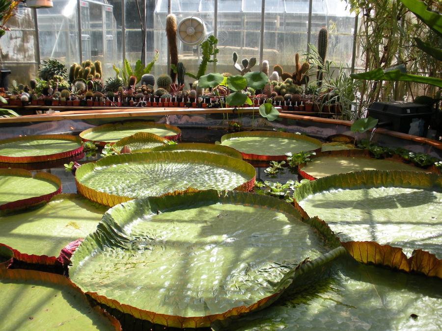
Durham Botanical Gardens |
We spent a few hours at the Durham Botanical Gardens, which is about a mile walk from the center of town and which passes through Durham University. |
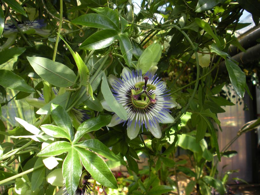
Durham Botanical Gardens |
|
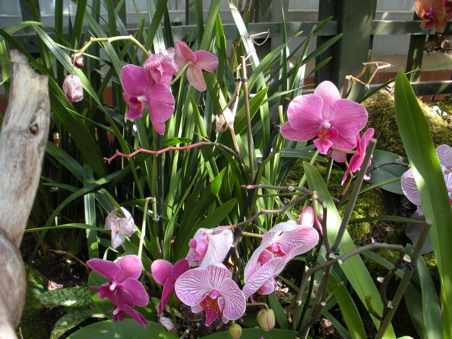
Durham |
|
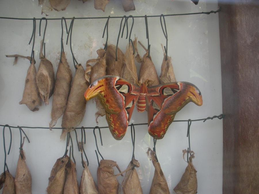
Durham Botanical Gardens |
|
Durham Botanical Gardens |
|
Segedunum in Newcastle |
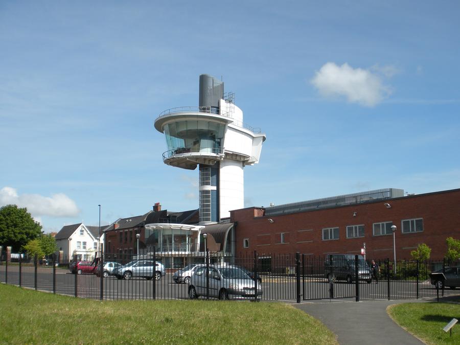
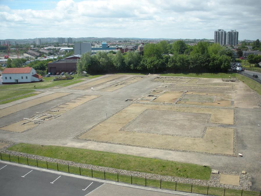
We took the train back to Newcastle. The next morning, we returned to Segedunum. This is where we started our walk almost 2 weeks before. Segedunum is the site of an old Roman fort and the eastern terminus of Hadrian's wall. It is now a museum and it was closed when we were here before. |
Segedunum in Newcastle |
This is a view of the remains of the Roman fort taken from the observation tower inside the museum. |
Segedunum in Newcastle |
|
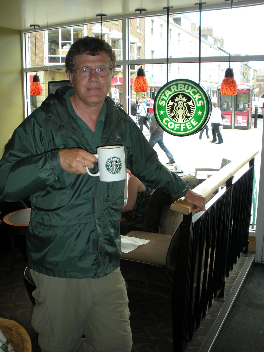
Starbucks |
England is a very civilized country. It contains much (American) culture. In addition to Starbucks, we were fortunate enough to visit several McDonalds restaurants. |
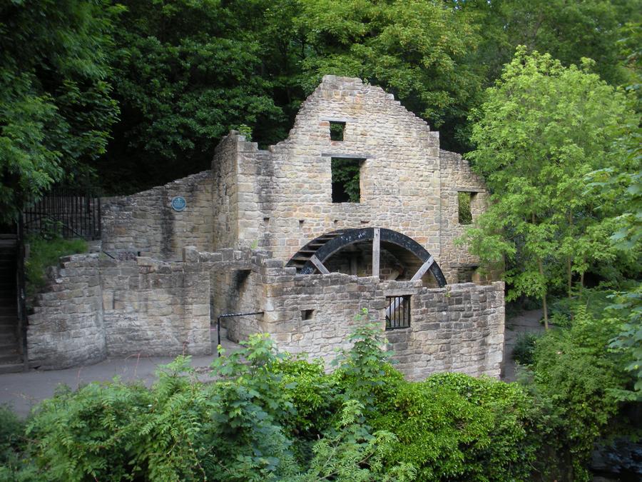
Dene Park in Newcastle |
I spent my last evening in England again wandering through Dene Park. The next morning we headed for the airport and home. |

Go To Top